
Opening hours:Open today
Place:Hopfgarten im Brixental
:Restaurant
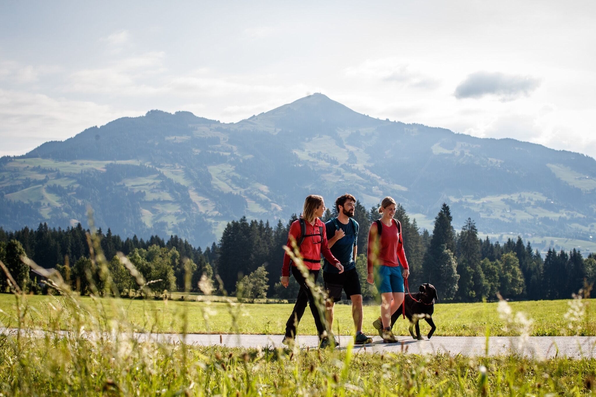
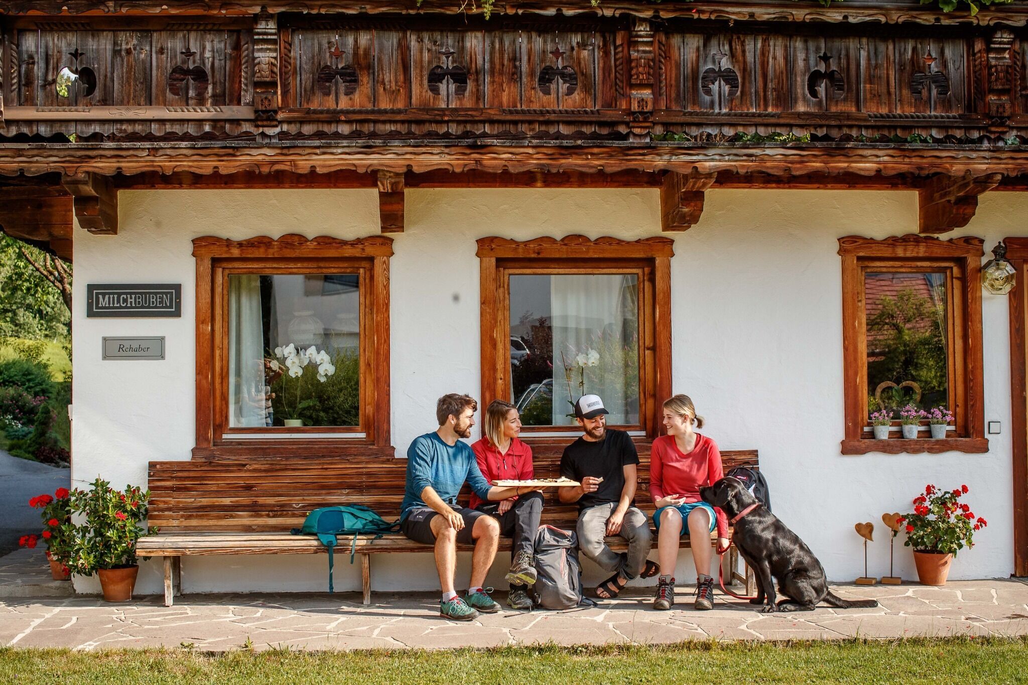
A leisurely hike with inviting views.
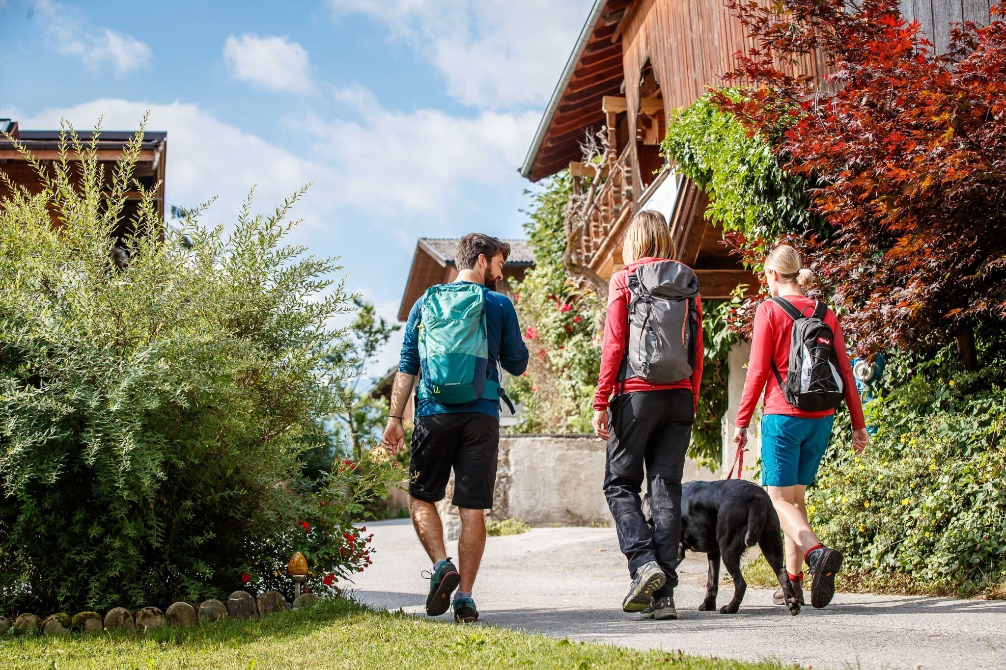
The starting point of the hike is the information office in Hopfgarten. From there you follow the tracks of the long-distance hiking trail KAT Walk into the center of Hopfgarten. Past the Gasthof Traube, the road leads to the Cafe Lois. Directly in front of the café, opposite the Raiffaisenbank, turn left into the Lukasfeld and follow the signposting No. 73 in the direction of Penningdörfl.
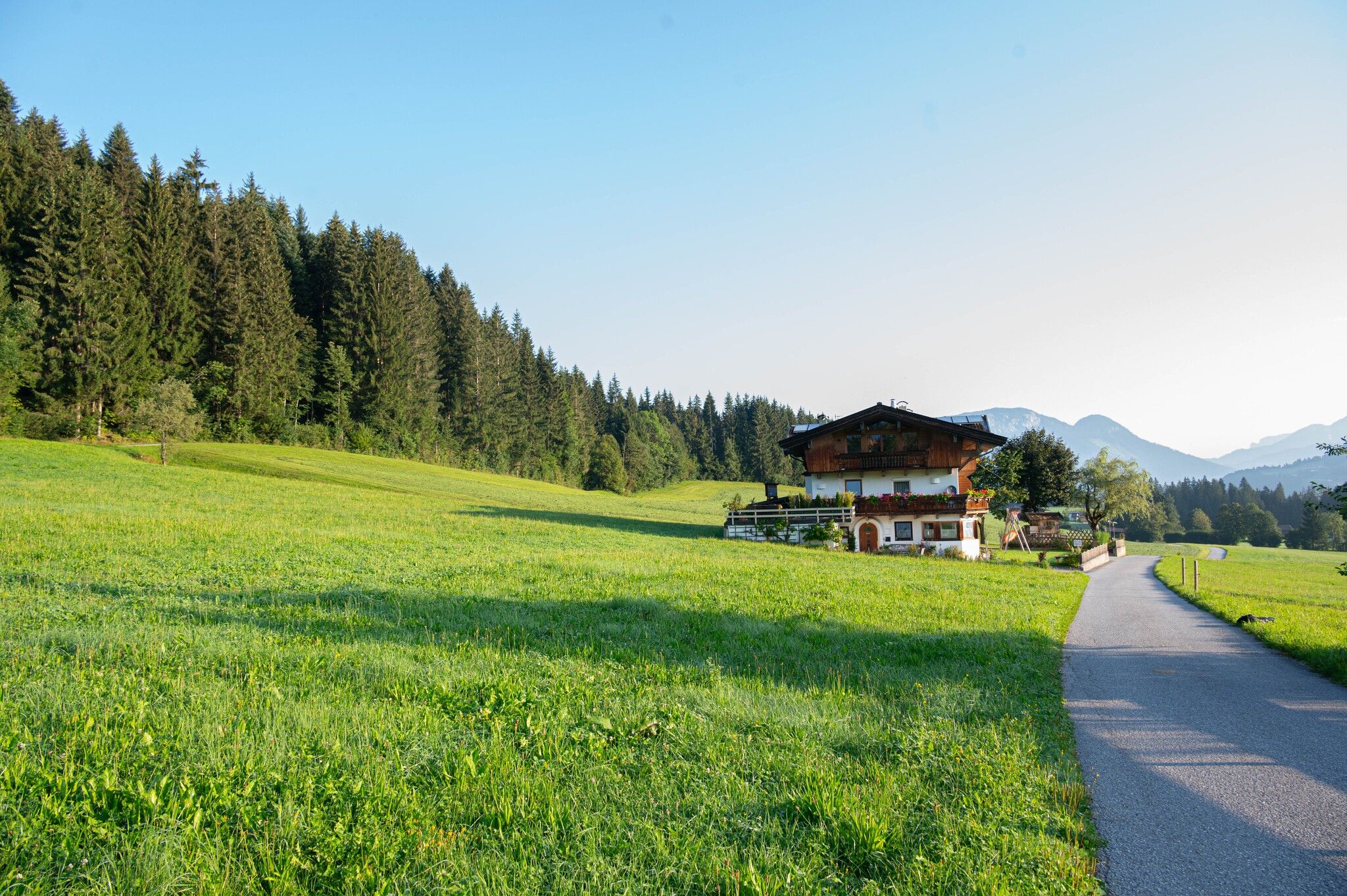
Once in Dörfl, cross the road after the chapel and walk along the Trauchaweg in the direction of Hörbrunn (No. 73). After crossing the Hörbrunn bridge, follow the path past Salvenaland to the starting point (no. 6).
train: Hopfgarten Berglift station
bus: Hopfgarten Berglift bus stop
Guest card of the region = train ticket from Kirchbichl to Hochfilzen + bus ticket from Mariastein to Kitzbühel included!
Valid on ÖBB local trains (S, REX) and InterRegio trains (IR) between Kirchbichl - Wörgl and Hochfilzen.
Not valid on RJ, RJX, EC, IC, ICE, D and NJ/EN trains.
More detailed information: www.hohe-salve.com/mobility
Wasserfeld car park P3
fotoschmiede.tirol")
 Pixabay")


.jpg")


 Erwin Haiden (10).jpg")

