.jpg")
Difficulty:medium
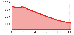
Length:14.8 kmDuration:6:30 hElevation uphill:760 m
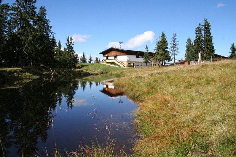
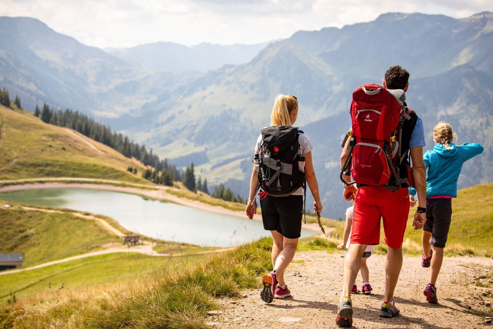
Take the Schatzberg calbe car to the Gernalm reservoir
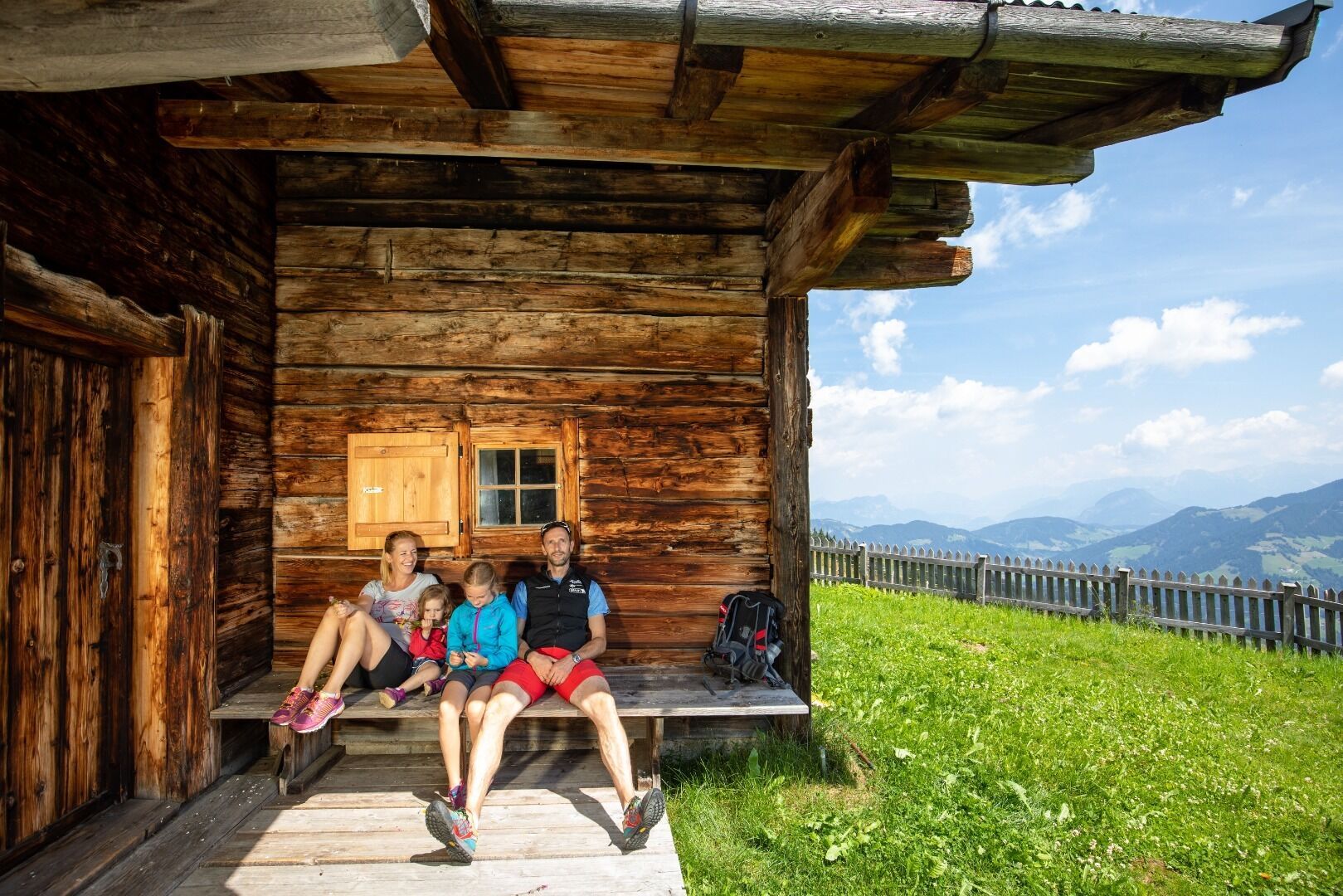
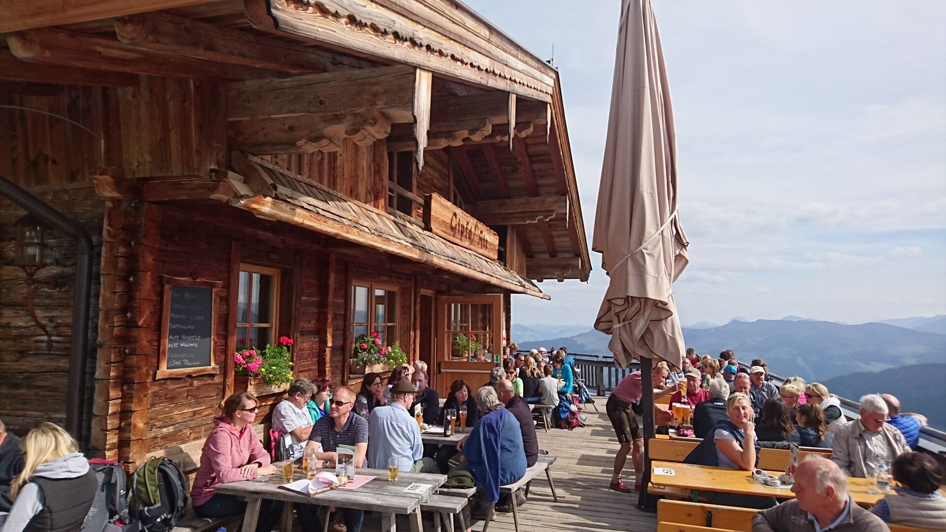
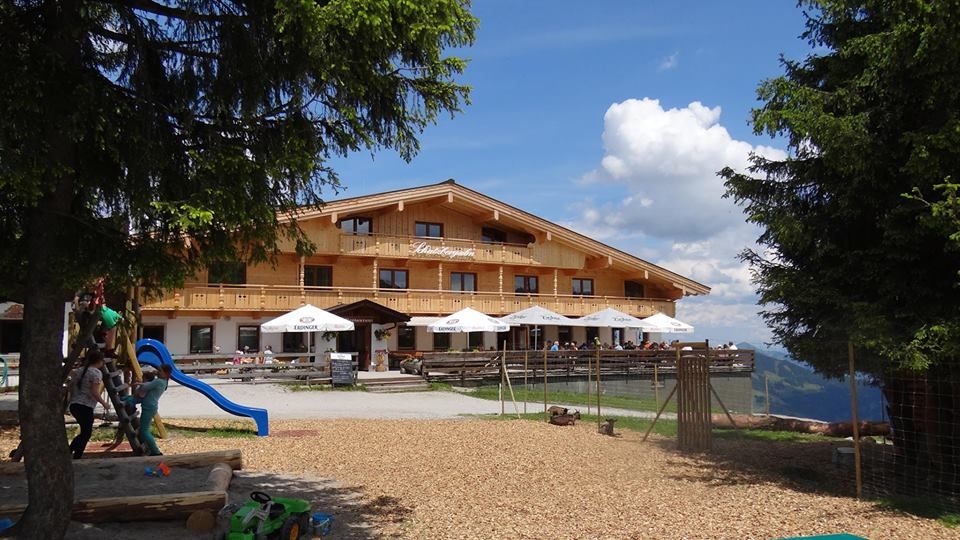
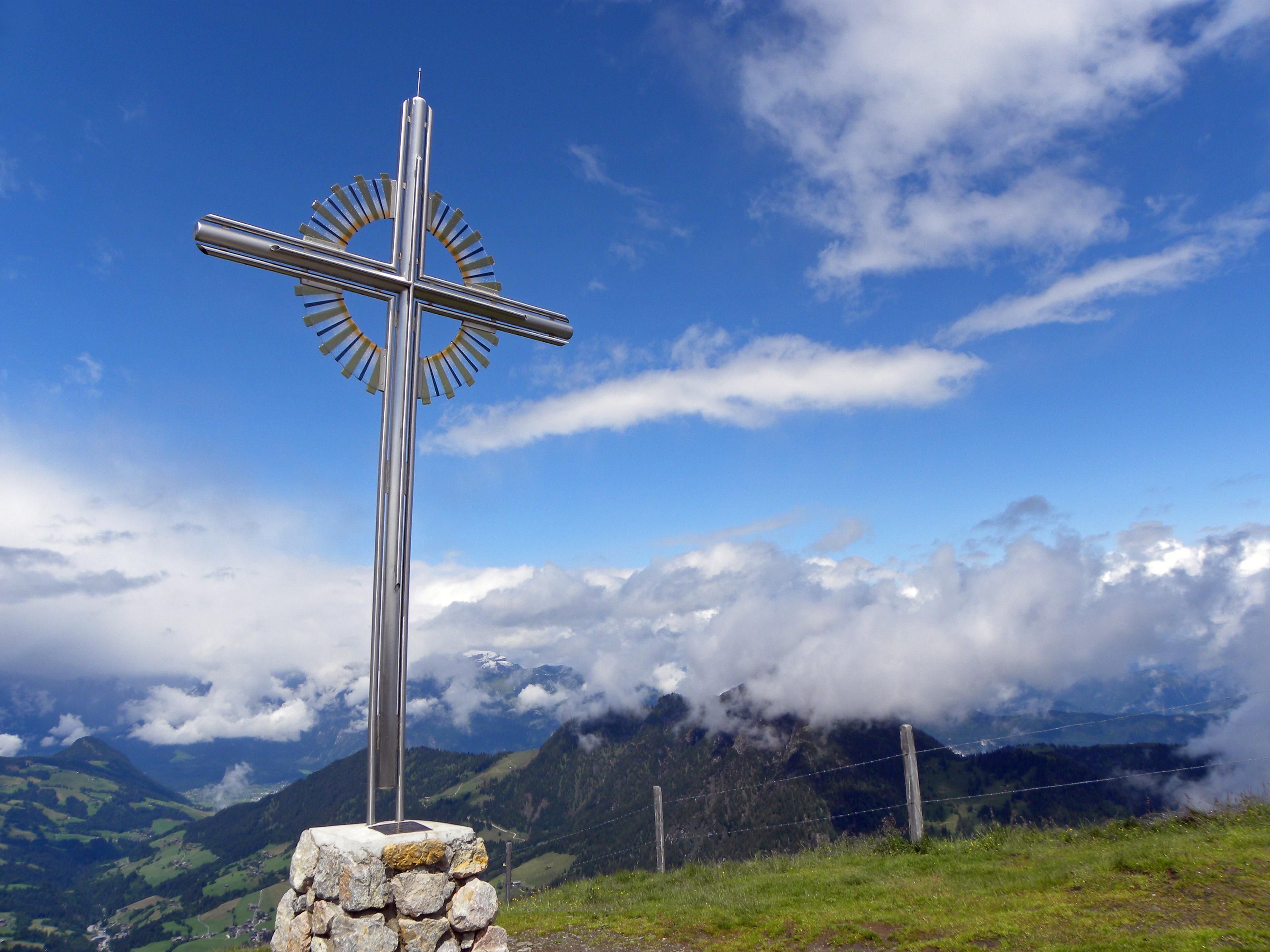
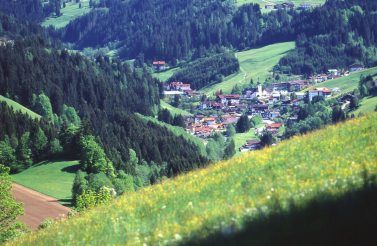
Take the Schatzberg gondola to the mountain top. Pass the Schatzberg Alm, Gipfö Hit and Gern Alm and return to the village on routes 45 and 7.

.jpg")

.jpg")


