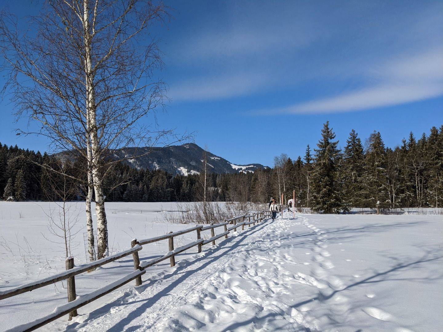
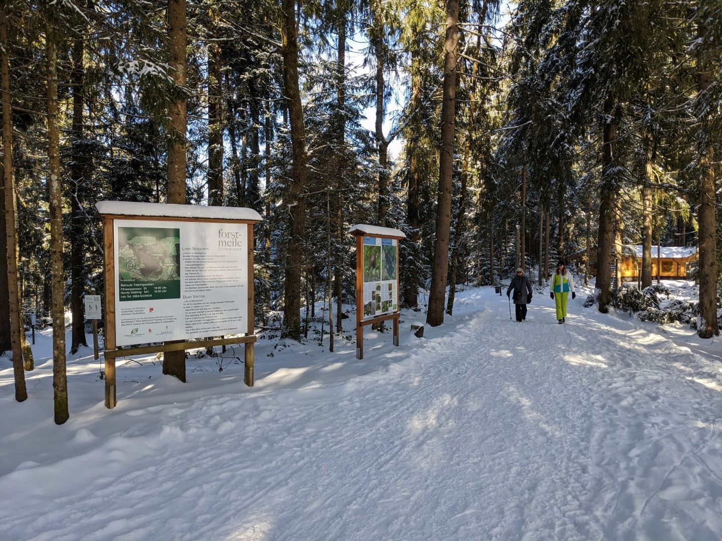
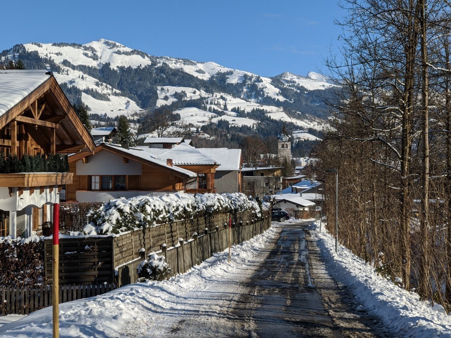
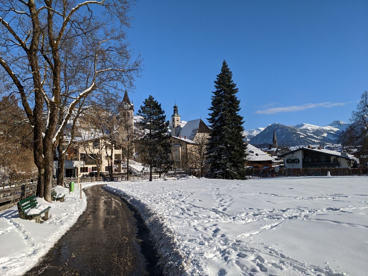
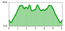
DescriptionKitzbühel Zentrum (centre) - Schwarzsee - Alpenhotel - Schwarzseerunde (circuit)- Pfarrau - Kitzbühel Zentrum (centre)
Alpenhotel Restaurant © Alpenhotel Kitzbühel | Jukka Pehkonen Alpenhotel KitzbühelOpening hours:Open todayPlace:Kitzbühel:Restaurant, Tavernsee restaurant detailssee restaurant details: Alpenhotel Kitzbühel
Café Sunshine © Kitzbühel Tourismus Café SunshineOpening hours:Open todayPlace:Kitzbühel:cafésee restaurant detailssee restaurant details: Café Sunshine
Pipino's Winter © Anbieter Pipino'sOpening hours:Today closedPlace:Kitzbühel:Restaurant, Tavernsee restaurant detailssee restaurant details: Pipino's
Innenansicht - Restaurant Seebichl © Kitzbühel Tourismus SEEBICHL RestaurantOpening hours:Open todayPlace:Kitzbühel:Restaurant, Tavernsee restaurant detailssee restaurant details: SEEBICHL Restaurant
Katzenkopfhütte Winter © Region Seefeld - Tessa Mellinger Complete Route for the Tyrol’s 1. Winter Multi-day HikeOpening hours:openDifficulty:mediumLength:48.0 kmDuration:4 daysElevation uphill:1,000 mGo to winter hikeGo to winter hike: Complete Route for the Tyrol’s 1. Winter Multi-day Hike
Genuss Route Winter Hiking Trail Mieming PlateauDifficulty:mediumLength:11.8 kmDuration:3:30 hElevation uphill:170 mGo to winter hikeGo to winter hike: Genuss Route Winter Hiking Trail Mieming Plateau
Filzenkogel winter walk in MayrhofenDifficulty:mediumLength:3.6 kmDuration:1:30 hElevation uphill:250 mGo to winter hikeGo to winter hike: Filzenkogel winter walk in Mayrhofen
Winter Walking on the Sunny Mieming PlateauDifficulty:easyLength:9.0 kmDuration:2:30 hElevation uphill:140 mGo to winter hikeGo to winter hike: Winter Walking on the Sunny Mieming Plateau
winterwandern17-kartitsch-c-tvb-osttirol-bergimbild.jpg © BergimBild HollbruckertalwegOpening hours:openDifficulty:mediumLength:3.1 kmDuration:1:30 hElevation uphill:80 mGo to winter hikeGo to winter hike: Hollbruckertalweg
Winter walk at Rauher Kopf, Kirchberg in TirolDifficulty:mediumLength:13.0 kmDuration:5:00 hElevation uphill:600 mGo to winter hikeGo to winter hike: Winter walk at Rauher Kopf, Kirchberg in Tirol
Winterwandern Kartitsch © Frank Stolle Winter walking at the Dorfberg in East TirolOpening hours:openDifficulty:difficultLength:12.0 kmDuration:5:00 hElevation uphill:680 mGo to winter hikeGo to winter hike: Winter walking at the Dorfberg in East Tirol
Winterwandern Kartitsch © Christina Klammer Oswald Kollreider-Wiesenweg artists' pathOpening hours:openDifficulty:easyLength:3.8 kmDuration:1:00 hElevation uphill:80 mGo to winter hikeGo to winter hike: Oswald Kollreider-Wiesenweg artists' path
Oberer Wiesenweg im Frühwinter_Paar läuft auf Wanderweg_Blick auf Stadl und Hohe Munde.jpg © Region Seefeld W17: Winter circular hike on the WiesenwegDifficulty:easyLength:6.2 kmDuration:1:45 hElevation uphill:61 mGo to winter hikeGo to winter hike: W17: Winter circular hike on the Wiesenweg
Winterwandern in Serfaus-Fiss-Ladis © © Serfaus-Fiss-Ladis Marketing GmbH Winter walk along the Waldweg HögOpening hours:openDifficulty:easyLength:5.0 kmDuration:1:45 hGo to winter hikeGo to winter hike: Winter walk along the Waldweg Hög
Winterwanderung nach Sesslad © Tourismusverband Paznaun – Ischgl 17 Winter Hiking Trail SessladOpening hours:closedDifficulty:mediumLength:4.5 kmDuration:2:00 hElevation uphill:136 mGo to winter hikeGo to winter hike: 17 Winter Hiking Trail Sesslad
Dürrenberg © Gerhard Eisenschink Winter Hike to Dürrenberg AlmDifficulty:difficultLength:6.0 kmDuration:3:00 hElevation uphill:520 mGo to winter hikeGo to winter hike: Winter Hike to Dürrenberg Alm
Weitwandern Etappe 2 Teilnehmer am Weg bei Huette © Region Seefeld, Johannes Geyer Stage 2: From Leutasch to Mösern – Tyrol’s 1. Winter Multi-day HikeOpening hours:openDifficulty:mediumLength:16.9 kmDuration:5:00 hElevation uphill:402 mGo to winter hikeGo to winter hike: Stage 2: From Leutasch to Mösern – Tyrol’s 1. Winter Multi-day Hike
Weitwandern Etappe 1 Teilnehmer bei Bach (1).jpg © Region Seefeld, Johannes Geyer Stage 1: From Schanz to Weidach – Tyrol’s 1. Winter Multi-day HikeOpening hours:openDifficulty:mediumLength:14.2 kmDuration:3:30 hElevation uphill:140 mGo to winter hikeGo to winter hike: Stage 1: From Schanz to Weidach – Tyrol’s 1. Winter Multi-day Hike
Winterwandern Paar Oberer Wiesenweg Aufnahme von Paar von Hinten laufen neben Zaun (2).jpg © Region Seefeld Stage 3: From Mösern to Wettersteinhütte – Tyrol’s 1. Winter Multi-day HikeOpening hours:openDifficulty:mediumLength:14.7 kmDuration:4:00 hElevation uphill:200 mGo to winter hikeGo to winter hike: Stage 3: From Mösern to Wettersteinhütte – Tyrol’s 1. Winter Multi-day Hike
PlaTo Gemeinde Kirchdorf Landschaft Winter-21.jpg © Thomas Plattner Scenic River Trail GroßacheDifficulty:easyLength:14.3 kmDuration:3:30 hElevation uphill:20 mGo to winter hikeGo to winter hike: Scenic River Trail Großache
Ellmau_Biedringer Platte_Winterwanderung_Wilder Kaiser © TVB Wilder Kaiser/Maria Luise Handl Winter walking Biedringer PlatteOpening hours:openLength:12.7 kmDuration:5:30 hElevation uphill:470 mGo to winter hikeGo to winter hike: Winter walking Biedringer Platte
Winterwandern Winter Schnee © Oliver Soulas / Tirol Werbung Premium winter hiking trail - panoramic trailOpening hours:openDifficulty:easyLength:4.2 kmDuration:1:30 hElevation uphill:80 mGo to winter hikeGo to winter hike: Premium winter hiking trail - panoramic trail
Winter walk Schwarzer See, NaudersDifficulty:easyLength:10.5 kmDuration:3:30 hElevation uphill:255 mGo to winter hikeGo to winter hike: Winter walk Schwarzer See, Nauders
Evening winter hike Kleinmutzkopf, NaudersDifficulty:easyLength:6.0 kmDuration:2:00 hElevation uphill:70 mGo to winter hikeGo to winter hike: Evening winter hike Kleinmutzkopf, Nauders
Bergdoktor-Winter Hiking TrailDifficulty:easyLength:2.1 kmDuration:0:45 hElevation uphill:40 mGo to winter hikeGo to winter hike: Bergdoktor-Winter Hiking Trail
Winter- und Schneeschuhwandern (c) Mirja Geh (26).jpg © Mirja Geh At the foot of Fleischbank and TotenkirchlDifficulty:easyLength:9.3 kmDuration:3:00 hElevation uphill:250 mGo to winter hikeGo to winter hike: At the foot of Fleischbank and Totenkirchl
Ehenbichler Alm © Robert Eder, Naturparkregion Reutte Winter walk to the Ehenbichler Alm hutDifficulty:difficultLength:6.5 kmDuration:4:00 hElevation uphill:640 mGo to winter hikeGo to winter hike: Winter walk to the Ehenbichler Alm hut
Frauenseestube Luftbild © Robert Eder Winter Hike to Lake Frauensee from LechaschauDifficulty:easyLength:7.2 kmDuration:2:30 hElevation uphill:122 mGo to winter hikeGo to winter hike: Winter Hike to Lake Frauensee from Lechaschau
Vilser Alm im Winter © Robert Eder Winter walk to the Vilser Alm hutDifficulty:mediumLength:6.6 kmDuration:2:30 hElevation uphill:348 mGo to winter hikeGo to winter hike: Winter walk to the Vilser Alm hut
Give feedback for a chance to win a special holiday experience!Click here for the surveyClick here for the survey


 TVB Kitzbüheler Alpen-Brixental (7).jpg")


.jpg")
.jpg")


.jpg")
.jpg")

 Mirja Geh (26).jpg")


