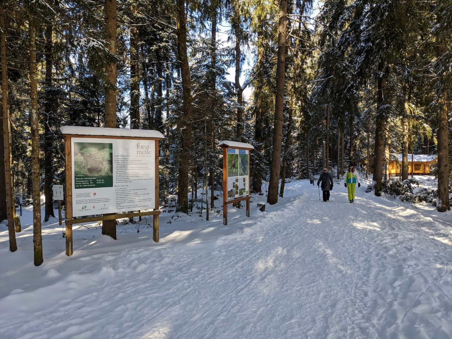
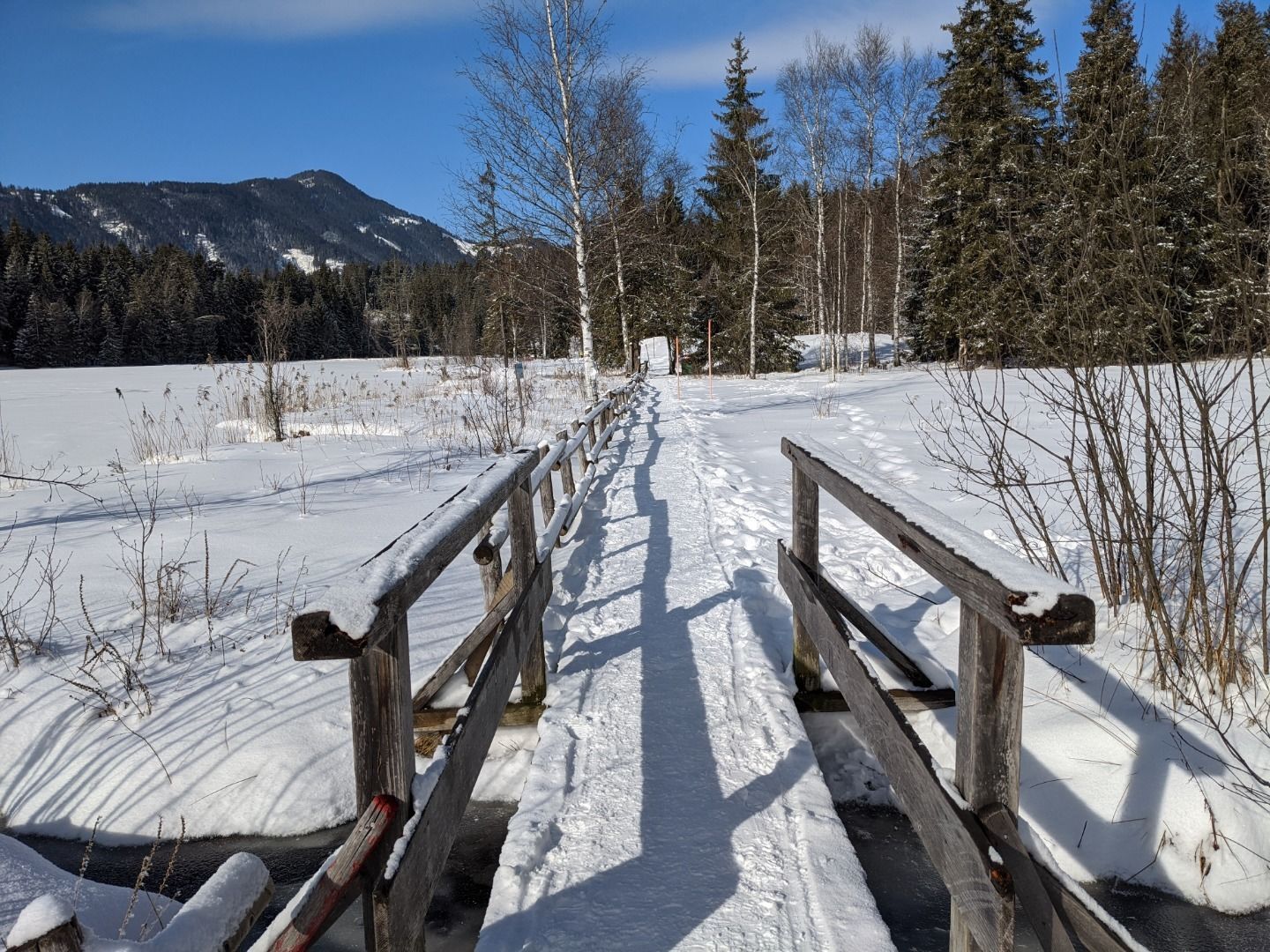
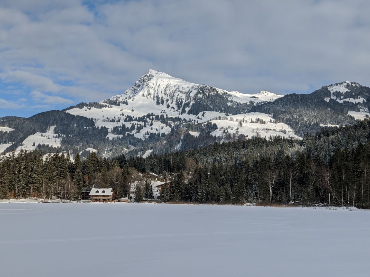
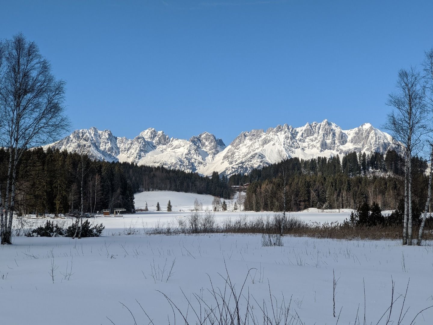
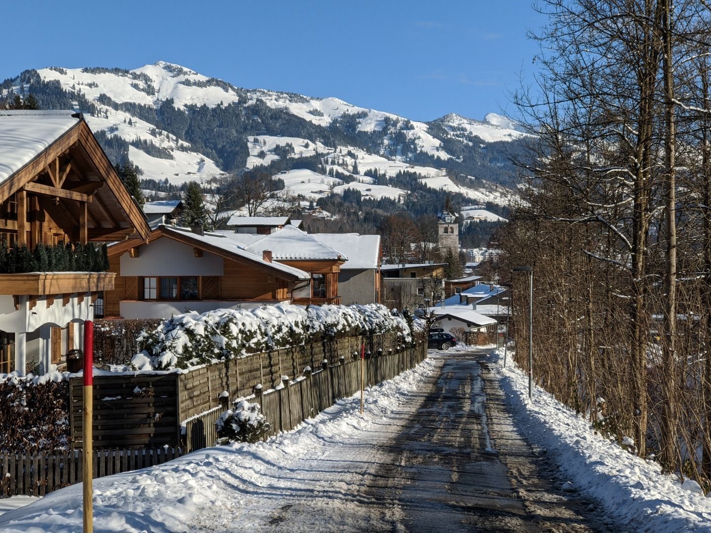
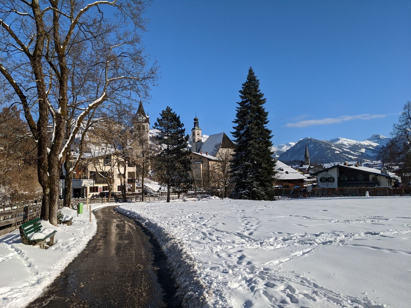
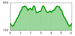
DescriptionKitzbühel Zentrum (centre) - Schwarzsee - Alpenhotel - Schwarzseerunde (circuit)- Pfarrau - Kitzbühel Zentrum (centre)
Café Sunshine am Schwarzsee © Kitzbühel Tourismus Café SunshineOpening hours:Open todayPlace:Kitzbühel:Snack bar / StreetFood, cafésee restaurant detailssee restaurant details: Café Sunshine
Restaurant Seebichl Innenansicht © Kitzbühel Tourismus SEEBICHL RestaurantOpening hours:Open todayPlace:Kitzbühel:Restaurant, Tavern, Fine-dining restaurantsee restaurant detailssee restaurant details: SEEBICHL Restaurant
Terrasse Alpenhotel Kitzbühel © Alpenhotel Kitzbühel | Jukka Pehkonen Alpenhotel KitzbühelOpening hours:Open todayPlace:Kitzbühel:Restaurant, Tavernsee restaurant detailssee restaurant details: Alpenhotel Kitzbühel
Pipino's Restaurant am See © Anbieter Pipino'sOpening hours:Open todayPlace:Kitzbühel:Restaurant, Tavern:vegetariansee restaurant detailssee restaurant details: Pipino's
Bergdoktor-Winter Hiking TrailDifficulty:easyLength:2.1 kmDuration:0:45 hElevation uphill:40 mGo to winter hikeGo to winter hike: Bergdoktor-Winter Hiking Trail
Wildschönau Thierbach Church Winter.jpg © Wildschönau Tourismus FG Dabernig Hannes Around the Thierbach HilltopDifficulty:mediumLength:5.5 kmDuration:2:00 hElevation uphill:162 mGo to winter hikeGo to winter hike: Around the Thierbach Hilltop
Weitwandern Etappe 3 Winterlandschaft (1).jpg © Region Seefeld, Johannes Geyer Complete Route for the Tyrol’s 1. Winter Multi-day HikeOpening hours:closedDifficulty:mediumLength:53.0 kmDuration:15:30 hElevation uphill:1,060 mGo to winter hikeGo to winter hike: Complete Route for the Tyrol’s 1. Winter Multi-day Hike
Winter hiking Fieberbrunn - Zillstatt - StreubödenOpening hours:closedDifficulty:mediumLength:13.0 kmDuration:4:30 hElevation uphill:550 mGo to winter hikeGo to winter hike: Winter hiking Fieberbrunn - Zillstatt - Streuböden
Evening winter hike Kleinmutzkopf, NaudersDifficulty:easyLength:6.0 kmDuration:2:00 hElevation uphill:70 mGo to winter hikeGo to winter hike: Evening winter hike Kleinmutzkopf, Nauders
Wildschönau Niederau Foisching © Hannes Dabernig Niederau - Foisching HutDifficulty:easyLength:6.5 kmDuration:2:15 hElevation uphill:253 mGo to winter hikeGo to winter hike: Niederau - Foisching Hut
Wildschönau Niederau Markbachjoch Kapelle Winter.jpg © Wildschönau Tourismus Winterwanderung Markbachjoch - NiederauDifficulty:mediumLength:10.5 kmDuration:4:00 hElevation uphill:56 mGo to winter hikeGo to winter hike: Winterwanderung Markbachjoch - Niederau
Winter- und Schneeschuhwandern (c) Mirja Geh (26).jpg © Mirja Geh At the foot of Fleischbank and TotenkirchlDifficulty:easyLength:9.3 kmDuration:3:00 hElevation uphill:250 mGo to winter hikeGo to winter hike: At the foot of Fleischbank and Totenkirchl
Winterwandern-am-Wildmoos-Plateau-(1)_WaLogo.jpg © Tirol Werbung, Frank Stolle W1: Winter Circular Hike Seefeld-Mösern-WildmoosOpening hours:closedDifficulty:mediumLength:13.0 kmDuration:3:30 hElevation uphill:247 mGo to winter hikeGo to winter hike: W1: Winter Circular Hike Seefeld-Mösern-Wildmoos
24202433.jpg © TVB Wipptal Premium Winter Hiking Trail Waldraster JöchlDifficulty:mediumLength:8.3 kmDuration:3:30 hElevation uphill:200 mGo to winter hikeGo to winter hike: Premium Winter Hiking Trail Waldraster Jöchl
Gschnitz in winter.jpg © TVB Wipptal Premium Winter Hiking Trail GschnitztalDifficulty:easyLength:6.3 kmDuration:2:00 hElevation uphill:50 mGo to winter hikeGo to winter hike: Premium Winter Hiking Trail Gschnitztal
24197801.jpg © TVB Wipptal Premium Winter Hiking Trail Lower Forest Trail to the Cold HostelDifficulty:easyLength:8.0 kmDuration:2:50 hElevation uphill:300 mGo to winter hikeGo to winter hike: Premium Winter Hiking Trail Lower Forest Trail to the Cold Hostel
Winterwandern Kartitsch © Frank Stolle Winter walking at the Dorfberg in East TirolOpening hours:closedDifficulty:difficultLength:12.0 kmDuration:5:00 hElevation uphill:680 mGo to winter hikeGo to winter hike: Winter walking at the Dorfberg in East Tirol
Winterwandern Kartitsch © Christina Klammer Oswald Kollreider-Wiesenweg artists' pathOpening hours:closedDifficulty:easyLength:3.8 kmDuration:1:00 hElevation uphill:80 mGo to winter hikeGo to winter hike: Oswald Kollreider-Wiesenweg artists' path
Luftaufnahme Wildsee im Winter - Seefeld.jpg © Region Seefeld W5: Winter Circular Hike Wildsee, Pfarrhügel & SeekirchlOpening hours:openDifficulty:easyLength:4.7 kmDuration:1:15 hElevation uphill:22 mGo to winter hikeGo to winter hike: W5: Winter Circular Hike Wildsee, Pfarrhügel & Seekirchl
Wurzbergalm © Ötztal Winter walk to the Wurzbergalm hut in UmhausenOpening hours:closedDifficulty:easyLength:2.4 kmDuration:1:00 hElevation uphill:199 mGo to winter hikeGo to winter hike: Winter walk to the Wurzbergalm hut in Umhausen
winterwander-kappl-see-2019 (83).jpg © TVB Paznaun-Ischgl 01 "Weiße Weiten” (White Vistas) winter long-distance trailDifficulty:mediumLength:52.7 kmDuration:14:00 hElevation uphill:1,579 mGo to winter hikeGo to winter hike: 01 "Weiße Weiten” (White Vistas) winter long-distance trail
Schneeschuhwanderung © Bernd Ritschel Circular hiking trail Horlachtal - NiederthaiOpening hours:closedDifficulty:easyLength:6.9 kmDuration:2:00 hElevation uphill:233 mGo to winter hikeGo to winter hike: Circular hiking trail Horlachtal - Niederthai
Winterwandern Winter Schnee © Oliver Soulas / Tirol Werbung Premium winter hiking trail - panoramic trailOpening hours:closedDifficulty:easyLength:4.2 kmDuration:1:30 hElevation uphill:80 mGo to winter hikeGo to winter hike: Premium winter hiking trail - panoramic trail
Unterwegs auf dem Six-Senses-Weg © © Serfaus-Fiss-Ladis Marketing GmbH Six Senses trailOpening hours:closedDifficulty:easyLength:5.7 kmDuration:4:00 hGo to winter hikeGo to winter hike: Six Senses trail
Wildtiergehege bei der Frommes Alp © © Serfaus-Fiss-Ladis Marketing GmbH Hiking trail to the Frommes AlpOpening hours:closedDifficulty:easyLength:3.9 kmDuration:1:30 hElevation uphill:273 mGo to winter hikeGo to winter hike: Hiking trail to the Frommes Alp
Dürrenberg © Gerhard Eisenschink Winter Hike to Dürrenberg AlmDifficulty:difficultLength:6.0 kmDuration:3:00 hElevation uphill:520 mGo to winter hikeGo to winter hike: Winter Hike to Dürrenberg Alm
winterwandern_paar_oberer_wiesenweg_paar_von_vorne_mit_huette.jpg © Region Seefeld Stage 3: From Burggraben through the Leutasch valley to Weidach - Seefeld High Plateau Winter Multi-day HikeOpening hours:closedDifficulty:easyLength:14.2 kmDuration:4:00 hElevation uphill:144 mGo to winter hikeGo to winter hike: Stage 3: From Burggraben through the Leutasch valley to Weidach - Seefeld High Plateau Winter Multi-day Hike
winterwanderweg rotes wandl - nr. 431_img_56893137 © Ötztal Tourismus Büro Oetz Winter hiking trail Rotes Wandl - No. 431Opening hours:openDifficulty:easyLength:1.5 kmDuration:0:45 hElevation uphill:52 mGo to winter hikeGo to winter hike: Winter hiking trail Rotes Wandl - No. 431
Winter hiking Hochfilzen - HoametzlhütteDifficulty:mediumLength:8.1 kmDuration:2:45 hElevation uphill:222 mGo to winter hikeGo to winter hike: Winter hiking Hochfilzen - Hoametzlhütte
Give feedback for a chance to win a special holiday experience!Click here for the surveyClick here for the survey


.jpg")

.jpg")


 Mirja Geh (26).jpg")
_WaLogo.jpg")


.jpg")


