
Difficulty:difficult
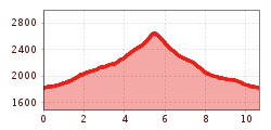
Length:10.7 kmDuration:4:00 hElevation uphill:926 m
Stammerjoch
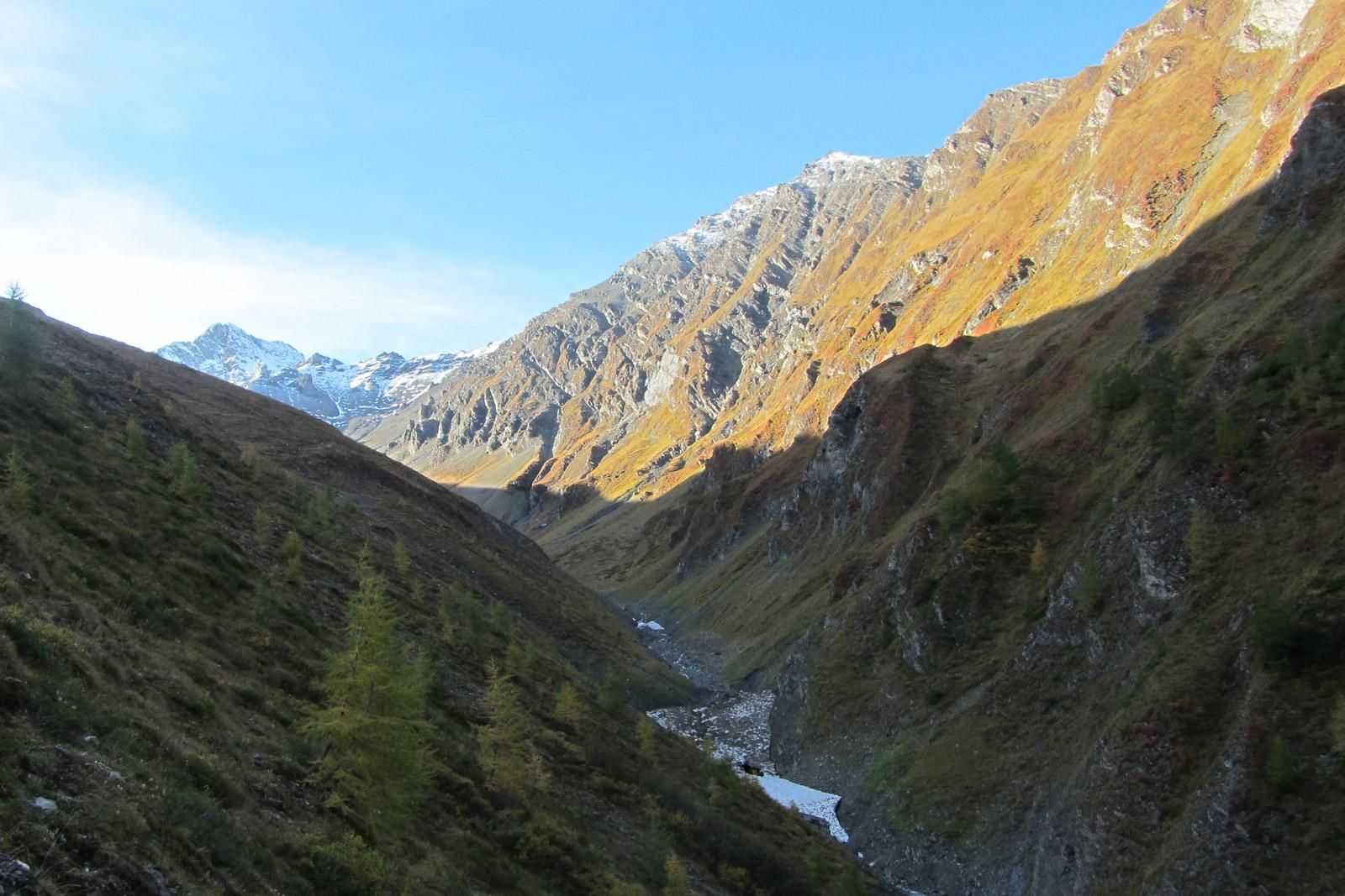
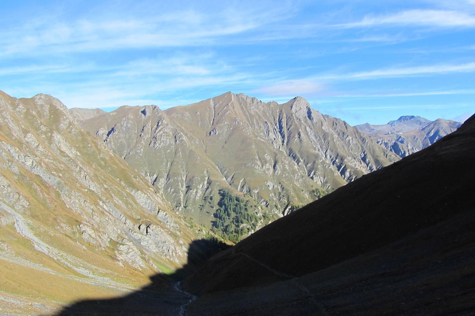
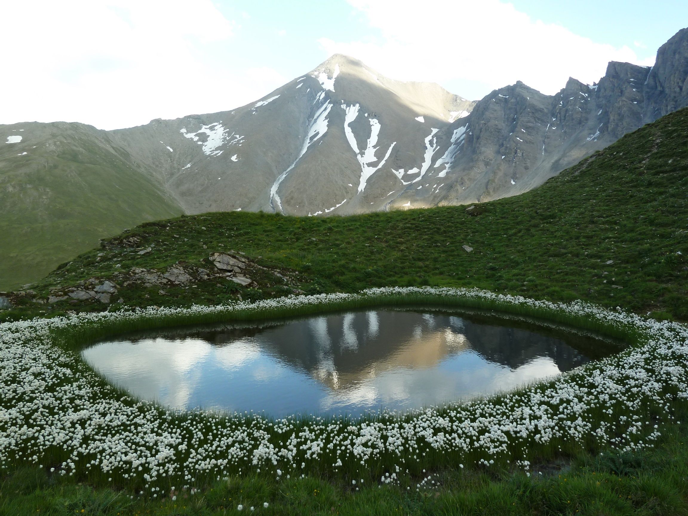
From Samnaun Dorf, the hiking trail leads into Val Maisas, passing the shepherd's hut and crossing alpine meadows until reaching Rossboden. The ascent to the Stammer lakes is steep, but the views of Muttler and Stammerspitz are magnificent. In summer, cotton grass blooms along the shores of the Stammer lakes. From Stammerjoch, the hike continues into Val Chamins, named after the rock formations (chimneys) found there. After the initial steep descent through rocky terrain, the path becomes more comfortable. The local mountain, Piz Ot, and Piz Crappa Grischa remain faithful companions until the end of the hike in Samnaun.


