Description
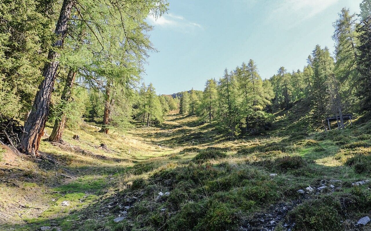
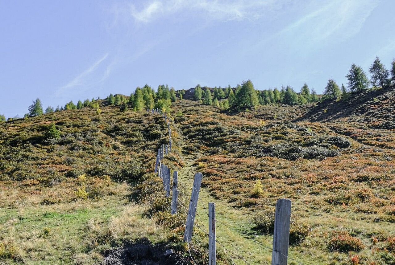
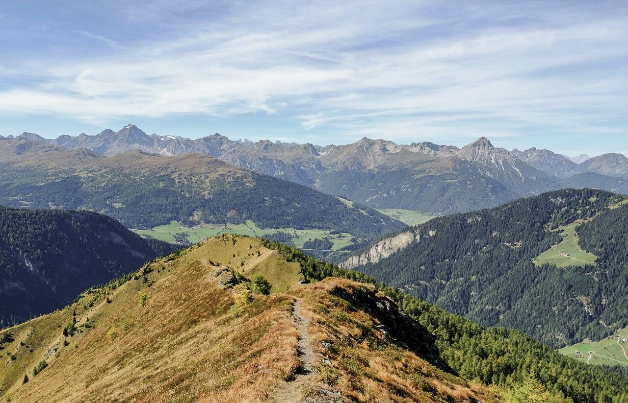
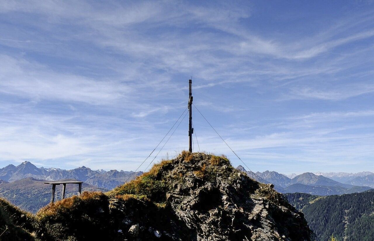
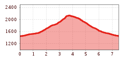
From the bus stop or the Muchnersiedlung/Lorleswald parking lot, the trail leads via Muchnersiedlung and the forest path up to the beginning of the forest. A beautiful path soon begins there, leading through spruce and larch groves up to the Lorenzalm. Once you reach the alpine pasture, the forest thins out and the cross of the Ottenspitze becomes visible in the distance. This is reached a little later after a few final hairpin bends on the north side. A magnificent panoramic view over the Wipptal valley as far as Innsbruck rewards the effort of the ascent. You can also marvel at the odd edelweiss and possibly the odd chamois in the rocks around the summit. After you have sufficiently enjoyed the atmosphere of the mountain, the descent path leads to a small alpine hut directly below the summit. From there, the trail continues in a wide arc through the alpine landscape into the valley and from there along another forest path back to the starting point.
ROUTE DESCRIPTION
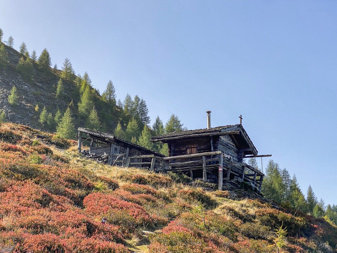
From the parking lot, the trail first goes up through the Muchner settlement, then along the forest path further into the forest towards the Lorenzalm. After approx. 500 m along the forest path, a beautiful trail with the number 66 coming from Jodok joins, which now leads up through the forest from the northwest to the very summit. On the descent, you first have to follow the ridge in an easterly direction (into the valley), before descending quite steeply in serpentines to a rustic alpine hut. Past this, the trail continues in an arc into the valley and descends slightly to the end of a forest path and another hut. Turn around here and follow trail no. 67 down through the forest to Muchnersiedlung. You then return to the parking lot and starting point of the tour through the Muchnersiedlung.
TIP FROM THE AUTHOR
Due to the location of the summit, this tour is particularly suitable as a sunset tour. If you want to experience the indescribable atmosphere of twilight in the mountains for yourself, this is a unique experience.
HOW TO GET THERE
If you come to the summit from the south as part of the circular hike, there is a small exposed section to overcome just before the cross on the ridge. However, this can also be avoided by descending briefly at the small hut below the summit and taking the path to the summit from the north.


.jpg")


")
 (1).jpg")


.JPG")


