
Summit hikes Summit hike: Ginzling Schlegeis reservoir - Hoher Riffler

Finkenberg, Zillertal / Zillertal Alps
Difficulty ratings: difficult
Route length: 17.0 km
Duration: 7:30 h

If the Hohe Riffler looks familiar to you... then you probably mean the other one. Yes, we have two of them in Tyrol. Beautiful things need space. And one of them is in the Zillertal.

Tour character

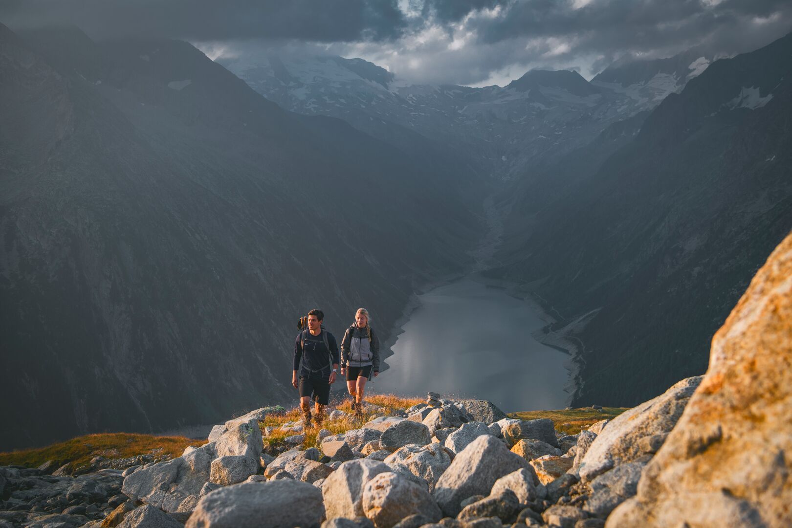
Relatively easy ascent to the Friesenberghaus, then via a more challenging climb and boulder terrain over the south ridge to the summit of the Hoher Riffler, a wonderful panoramic mountain in the Zillertal Alps. Although the summit tour to the Hoher Riffler does not pose any major technical challenges, as an alpine mountain tour it still requires surefootedness, a head for heights and stable weather conditions. The ridge ascent in particular is not recommended in snowy conditions.
Tour information

  • Requirement: difficult
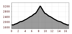
  • Length: 17.0 km
  • Duration: 7:30 h
  • Elevation uphill:1,500 hm
  • Elevation downhill:1,500 hm
Highest point3,228 m

Starting point

Schlegeis reservoir, 6295 Ginzling

Finishing point

Schlegeis reservoir, 6295 Ginzling
  • Fitness level 5 / 6
  • Technique 5 / 6

Best time of year

  • January
  • February
  • March
  • April
  • May
  • June
  • July
  • August
  • September
  • October
  • November
  • December

Trail condition

  • Well-maintained start at the Schlegeis reservoir
  • Moderate ascent to the Friesenberghaus
  • Narrow mountain paths and switchbacks
  • Some rocky and stony sections
  • Sure-footedness and no fear of heights required
  • Steeper and more challenging upper sections

Equipment

  • Lightweight, breathable clothing and a hat for sun protection
  • Sturdy, comfortable hiking boots with good grip
  • Plenty of drinking water (at least 1.5–2 litres) and light snacks
  • Sunscreen, sunglasses, and insect repellent if needed
  • Hiking map or smartphone with GPS/navigation app
  • First aid kit and basic medical supplies
  • Optional: Trekking poles for support on ascents and descents
Source: Zillertal Tourismus GmbH

Description

From the idyllic Schlegeis reservoir, you embark on your exciting hike to the summit of the Hoher Riffler, proudly towering at 3.231 m. Follow the picturesque trail No. 532, which initially leads you to the Friesenberghaus, 2.498 m. Here, you can take a short breather before continuing your hike on trail No. 526. Surrounded by majestic mountain peaks and pristine alpine landscapes, you eventually reach the summit of the Hoher Riffler, 3.231 m. This unforgettable experience is equally impressive for nature and mountain enthusiasts alike.

Nearby huts and mountain restaurants

Getting here

  • Parking

    • Starting point: Mayrhofen
    • Drive on the B169 towards Ginzling
    • Continue on the Schlegeis Alpine Road (toll road)
    • Parking available at the Schlegeis reservoir (free of charge)
      • Parking is limited
    • Starting point of the hike: Schlegeis reservoir parking lot

Weather

Today

light rain
11°C/1°C
85%7l5 km/h

Mon

mainly clear
11°C/1°C
15%0l5 km/h

Tue

clear sky
14°C/1°C
5%0l0 km/h
Go to weather forecast

More tours in the surrounding area

Newsletter

The mountain is calling? So does our newsletter!

In our monthly newsletter we reveal the best holiday tips for Tyrol.
