
Opening hours:Open today
Place:Ginzling
:Alpine pasture / hut / mountain restaurant
Whether as a detour on the Berliner Höhenweg or as a three-thousand-metre tour in its own right, the Schönbichler Horn should be high on your Tyrolean summit bucket list. An exciting mountain tour awaits you to a magnificent vantage point amidst the wild ridges and glaciers of the Zillertal Alps.
Although the Schönbichler Horn is technically relatively easy to reach for a mountain of this height, it should not be underestimated. From the Furtschaglhaus onwards, you need to be sure-footed and have a head for heights to feel comfortable on the steep gravel, in several passages secured by wire ropes and on the bouldery summit ridge. If these requirements are met, one of the most magnificent three-thousand-metre tours on a marked trail in the Tyrolean Alps can be enjoyed without restriction. The summit is a fantastic vantage point with close-up views of the Zillertal glacier giants, Hochfeiler, Großer Möseler, Turnerkamp and Schwarzenstein. We recommend crossing the Schönbichler Horn and descending to the Berliner Hütte and finally to Gasthof Breitlahner (return by bus to the Schleigeisspeicher possible). In this case, however, the tour is really demanding in terms of fitness and should better be split over two days.
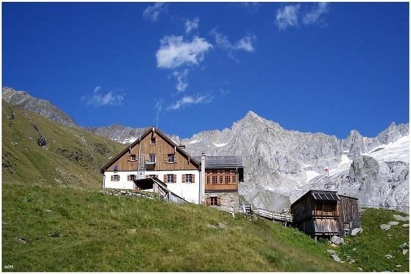
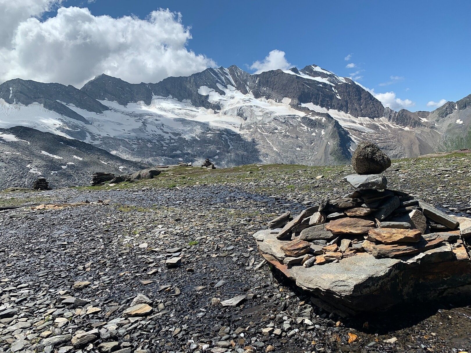
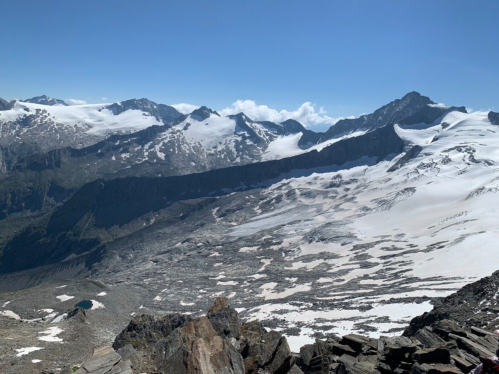
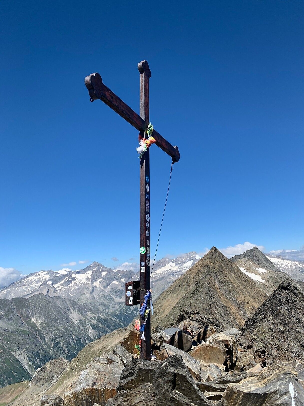
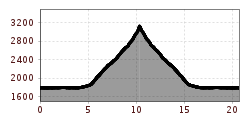
The route begins at the Zamsgatterl parking lot, where you hike along the reservoir to the Furtschaglhaus, 2.295 m, which serves as an ideal resting spot. The challenging ascent takes you through impressive landscapes, past waterfalls and glacial scratches, before reaching the Schönbichler Scharte. Finally, you will make your way over an airy rock ridge to the summit cross of Schönbichler Horn 3.134 m, where breathtaking glacier views await hikers.
Linie: 4102, Haltestelle: Schlegeis Stausee
www.mayrhofen.at/fahrplaene


")


")


