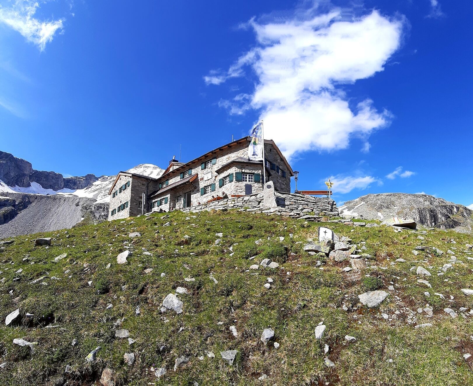
Mountain hikes Stage ot the Berliner Höhenweg (Zillertal Runde): Friesenberghaus - Olpererhütte

Finkenberg, Zillertal / Zillertal Alps
Difficulty ratings: difficult
Route length: 4.0 km
Duration: 2:30 h

On the way to the Olpererhütte you walk over a suspension bridge, so far so normal. The perspective from which photos are taken is interesting, but take a look for yourself.

Tour character

Difficult stage on black mountain paths. Sure-footedness and good concentration are required for the many hairpin bends on sometimes steep slopes.

Tour information

  • Requirement: difficult
  • Length: 4.0 km
  • Duration: 2:30 h
  • Elevation uphill:150 hm
  • Elevation downhill:250 hm
Highest point2,398 m

Starting point

Friesenberghaus, Schlegeis Stausee, 6295 Ginzling

Finishing point

Olpererhütte, Schlegeis Stausee, 6295 Ginzling
  • Fitness level 5 / 6
  • Technique 5 / 6

Best time of year

  • January
  • February
  • March
  • April
  • May
  • June
  • July
  • August
  • September
  • October
  • November
  • December

Trail condition

  • Well-marked hiking trail
  • Steep descent and ascent with tight switchbacks
  • Crossing of the Friesenberg Lake outflow
  • Trail junction with diversion to the Berliner Höhenweg
  • Comfortable path along an observation terrace
  • Crossing of meadows before reaching the Olpererhütte

Equipment

The decision regarding the equipment to bring is your own responsibility. Make sure to take care of your personal safety as well as that of the group, and plan accordingly.
Source: Zillertal Tourismus GmbH

Description

From the Friesenberghaus, 2.498 m, you initially descend westward, cross the outflow of the Friesenbergsee, and then ascend steeply in switchbacks up to an elevation of 2.620 m, where the trail splits. Turn left at the fork, while to the right, the path No. 526 leads over the Friesenbergscharte, 2.910 m, into the Tuxer Mountains. The trail continues comfortably southward, as if on an observation terrace. Shortly before reaching your destination at 2.400 m, you descend and traverse horizontally across meadows to reach the Olpererhütte, 2.389 m.

Nearby huts and mountain restaurants

Getting here

  • Parking

    • Starting point: Mayrhofen
    • Drive on the B169 towards Ginzling
    • Continue on the Schlegeis Alpine Road (toll road)
    • Parking available at the Schlegeis reservoir (free of charge)
      • Parking is limited
    • Starting point of the hike: Schlegeis reservoir parking lot

Weather

Today

partly Cloudy
8°C/-1°C
65%0.9l5 km/h

Tue

light rain
9°C/3°C
70%1.1l5 km/h

Wed

partly Cloudy
12°C/3°C
35%1.7l5 km/h
Go to weather forecast

More tours in the surrounding area

Newsletter

The mountain is calling? So does our newsletter!

In our monthly newsletter we reveal the best holiday tips for Tyrol.