Mountain hikes Thaurer Zunterkopf - the little neighbor of Bettelwurf

Thaur / Karwendel
Difficulty ratings: medium
Route length: 13.5 km
Duration: 5:00 h

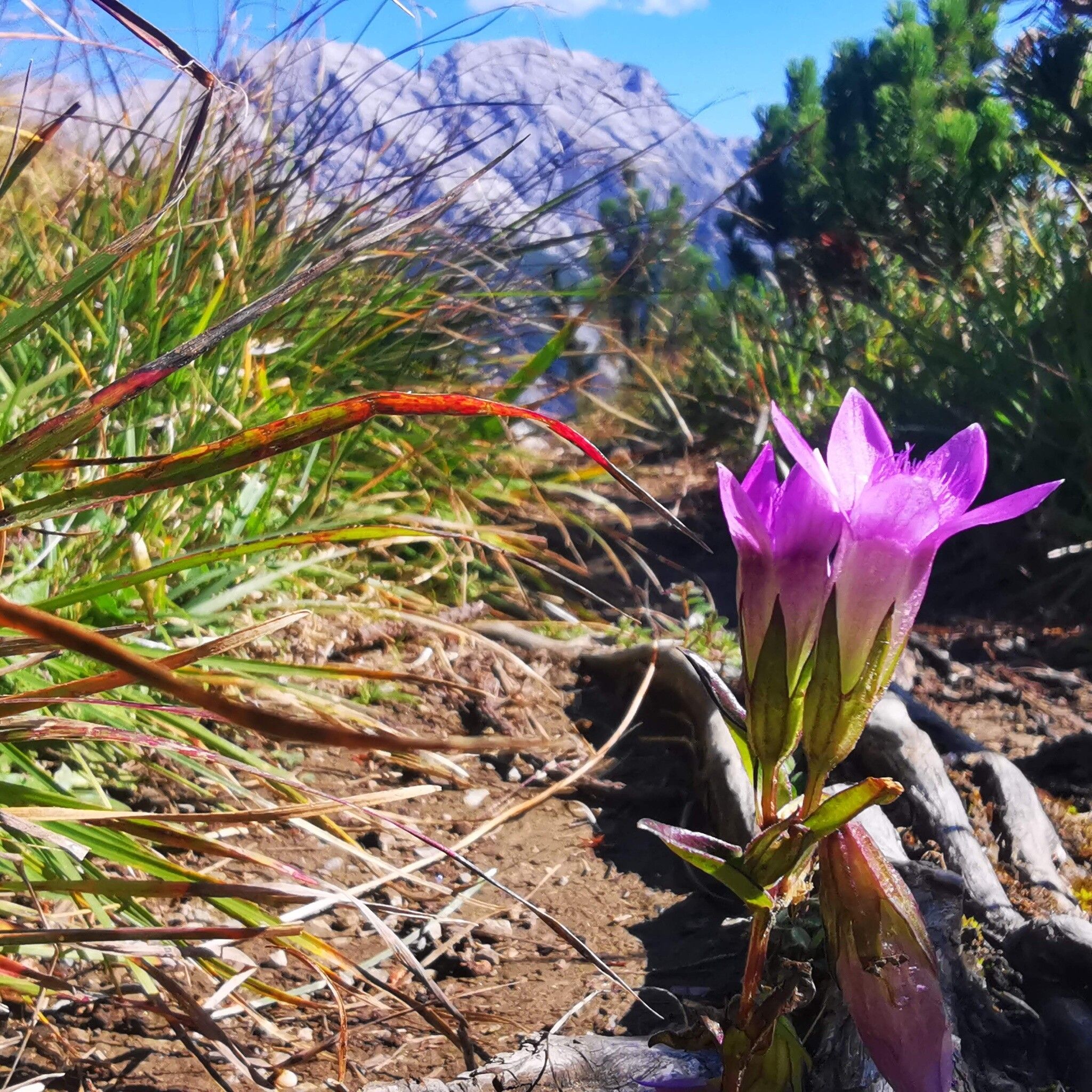
Easy hike to the viewpoint mountain Thaurer Zunterkopf with a wonderful place to stop at the Thaurer Alm

Tour information

  • Requirement: medium
  • Length: 13.5 km
  • Duration: 5:00 h
  • Elevation uphill:1,304 hm
  • Elevation downhill:1,303 hm
Highest point1,915 m

Starting point

Thaur

Finishing point

Thaur
  • Fitness level 4 / 6

Best time of year

  • January
  • February
  • March
  • April
  • May
  • June
  • July
  • August
  • September
  • October
  • November
  • December
Source: Region Hall - Wattens

Description

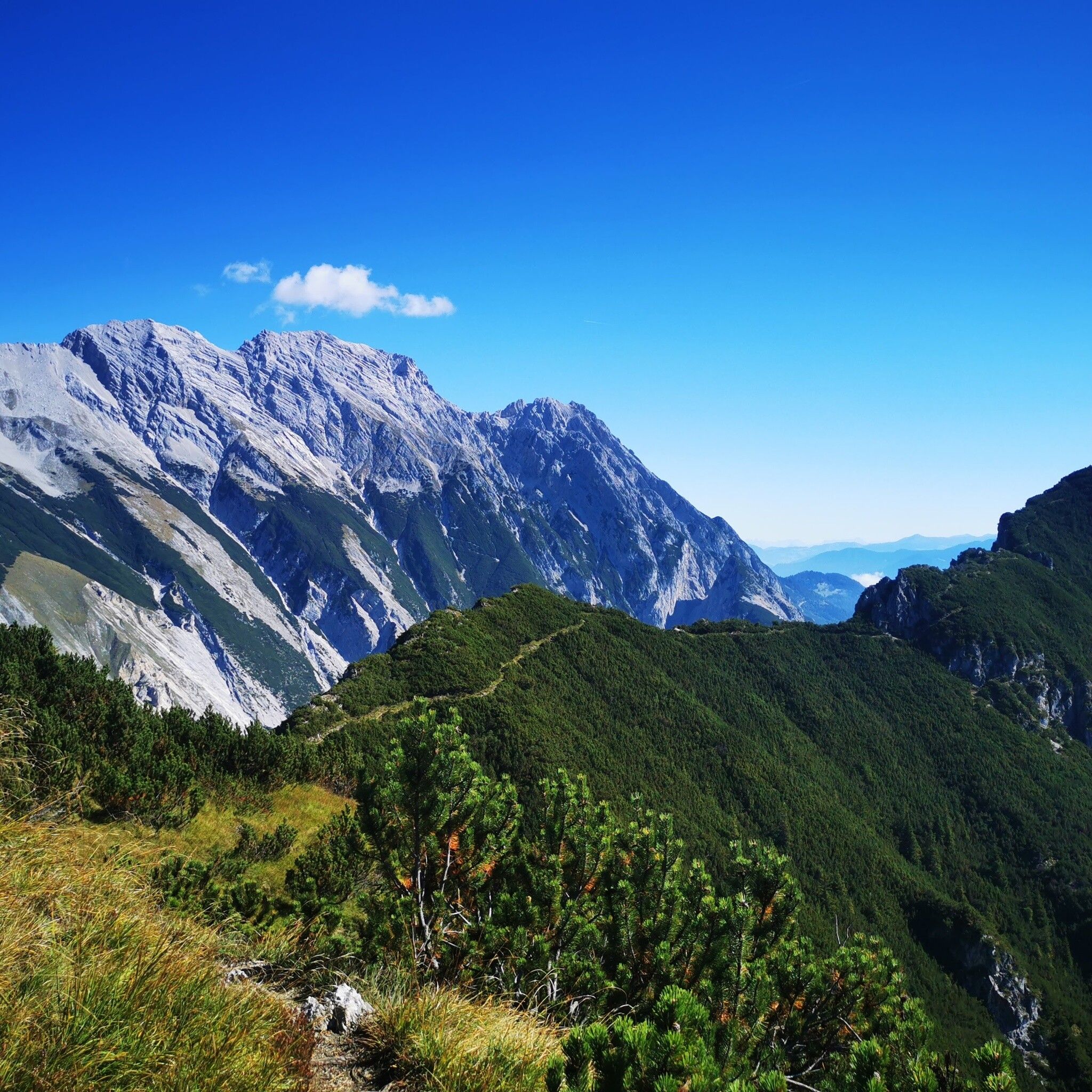
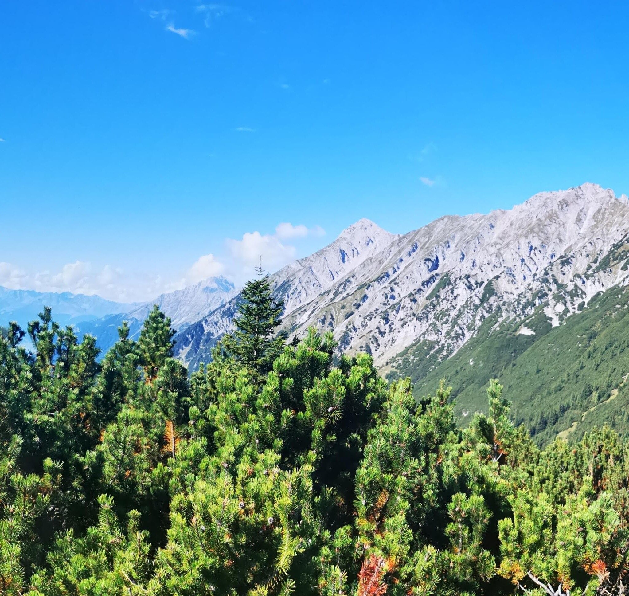
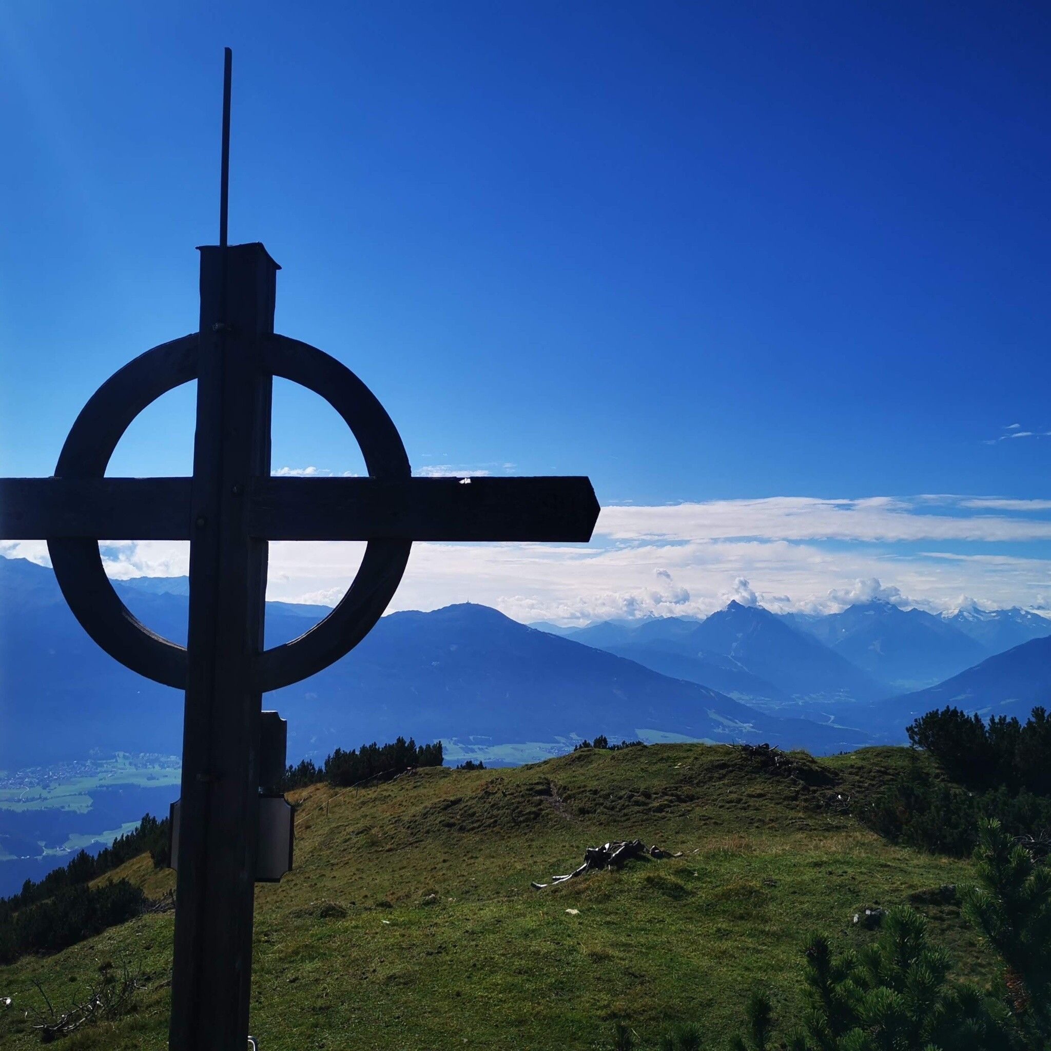
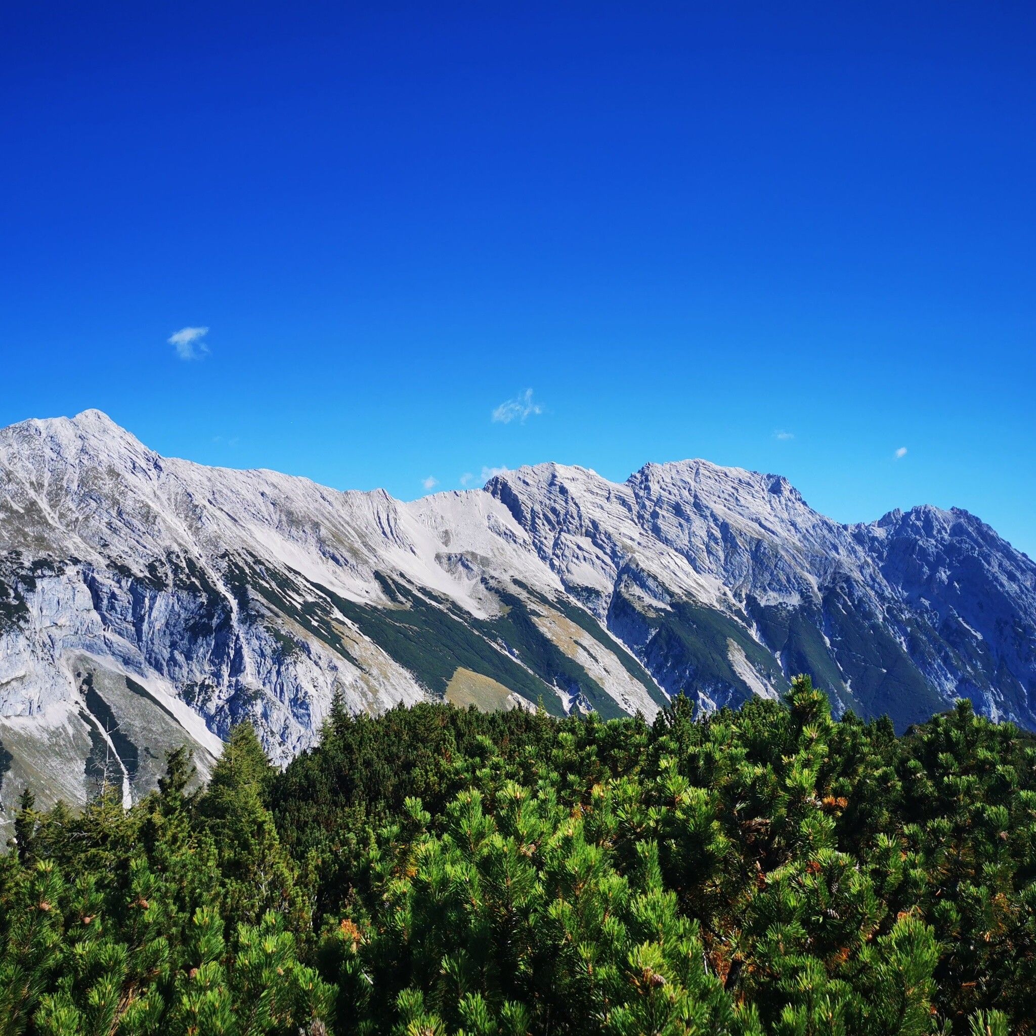
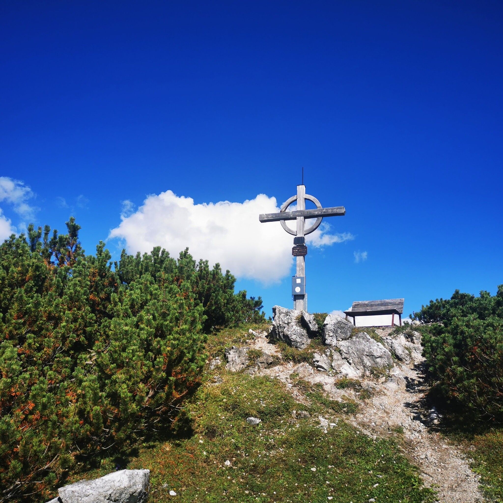
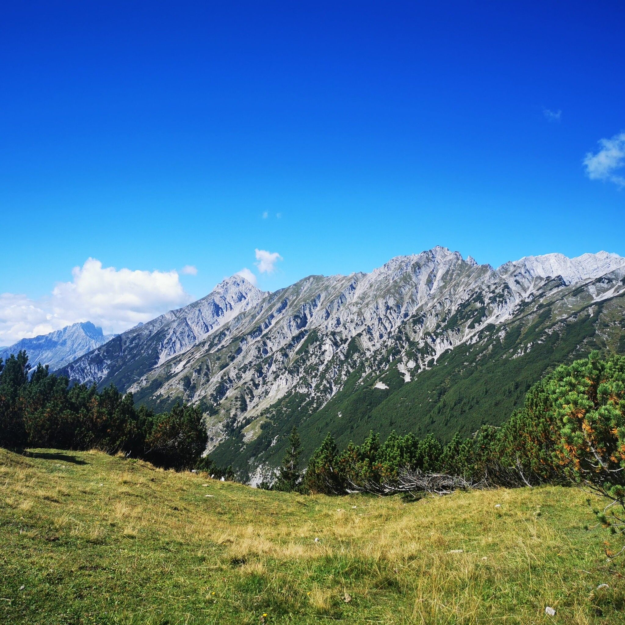
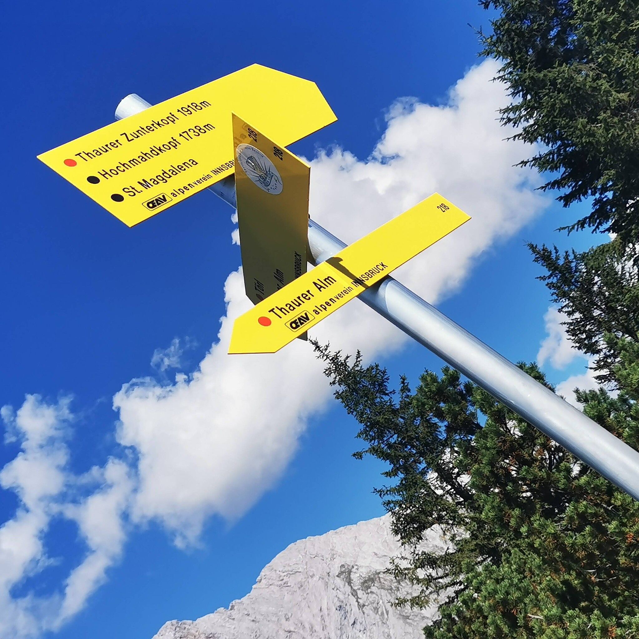
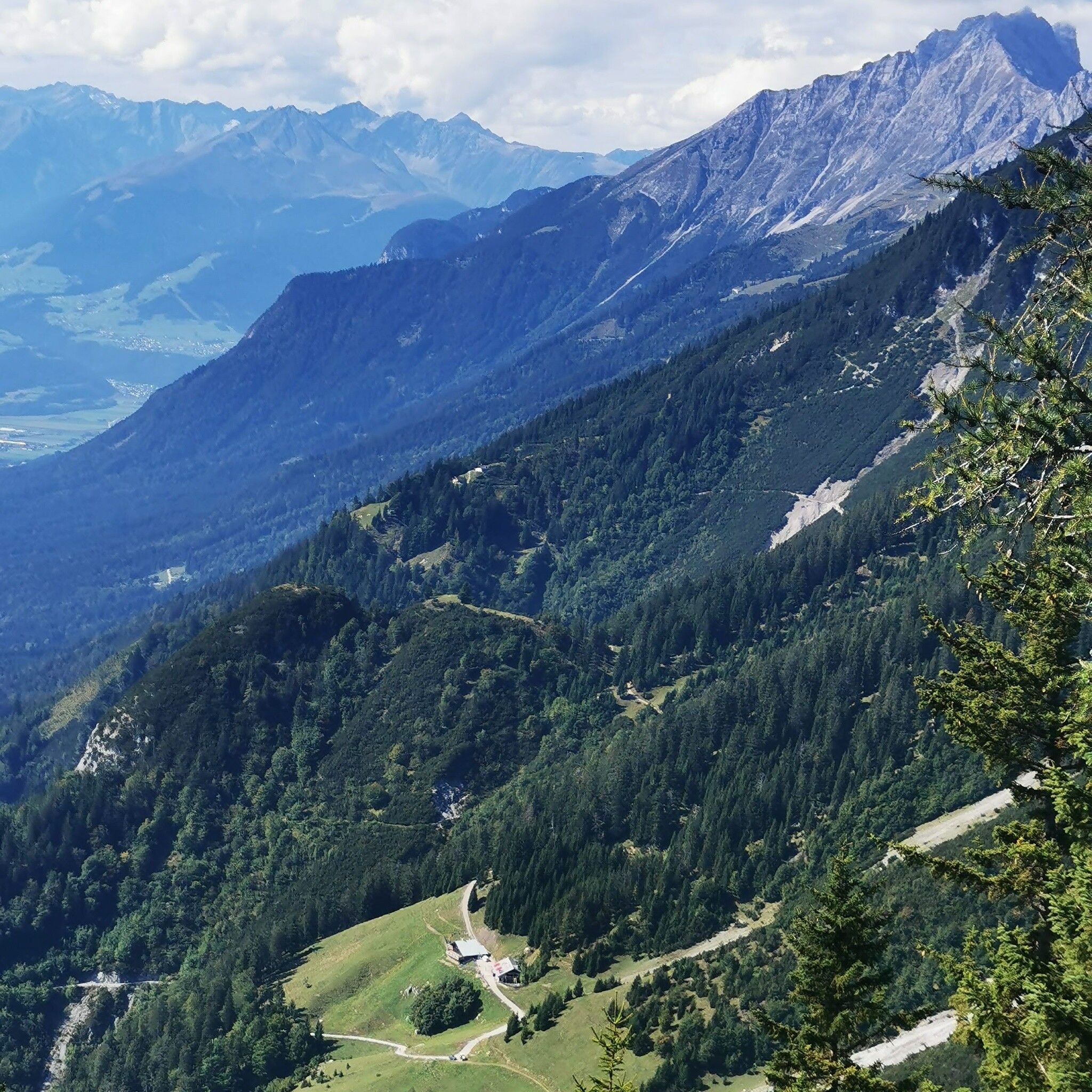
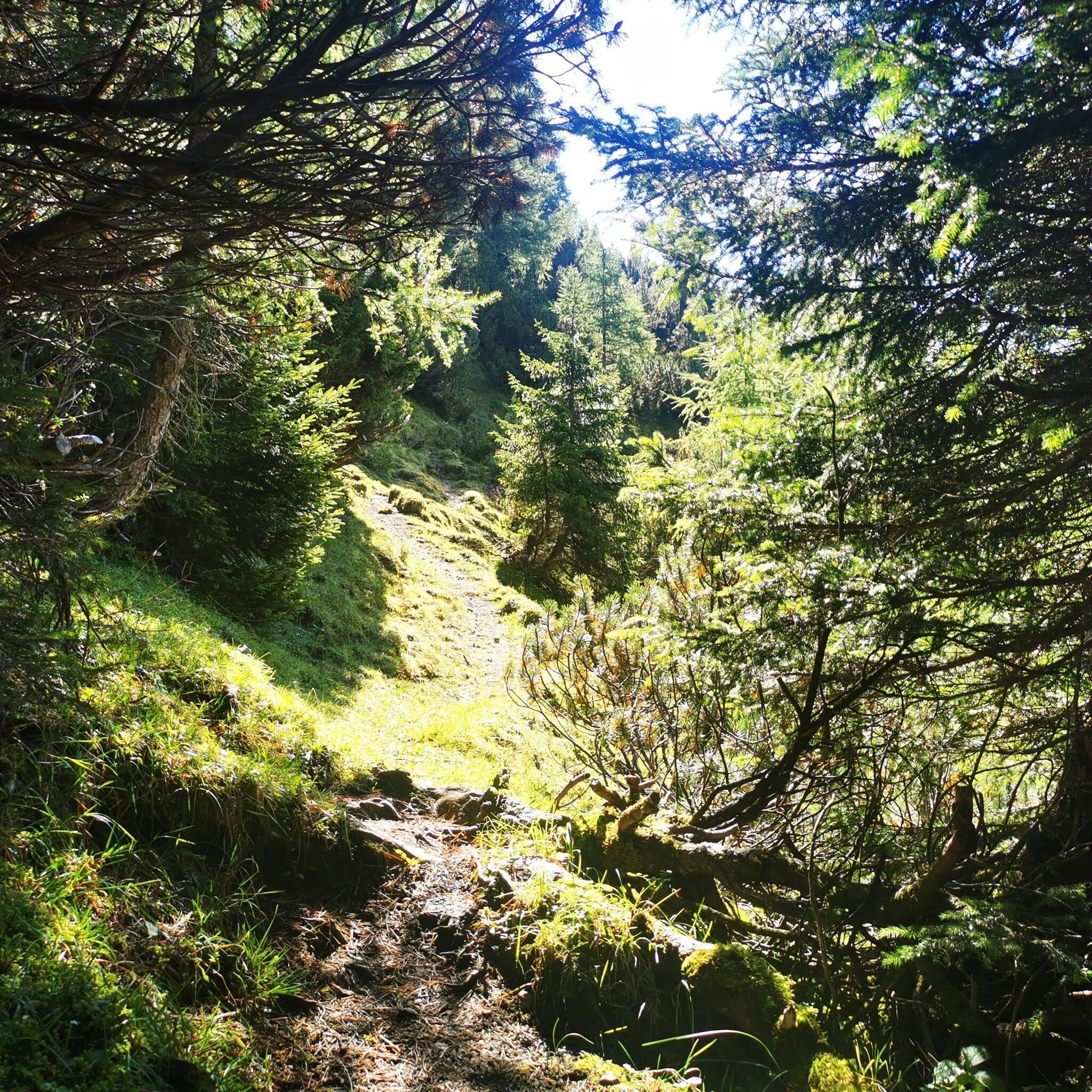
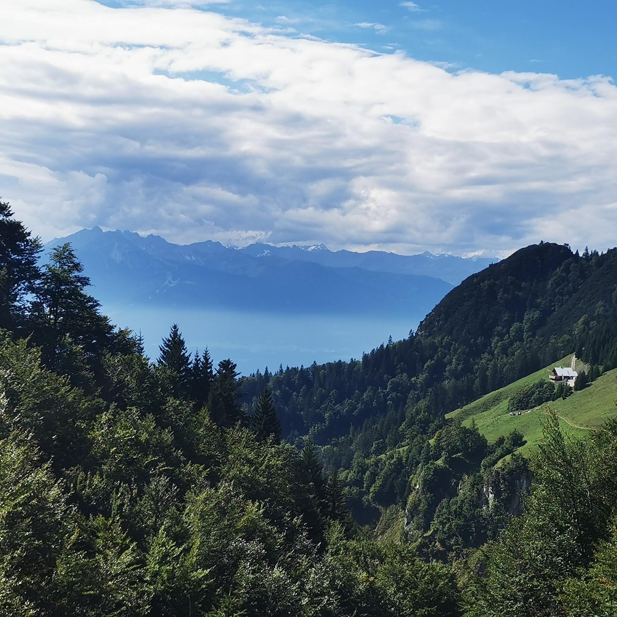
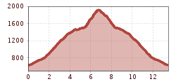
Starting from the village center of Thaur, it goes via the Romedius chapel further to the Thaurer Alm. From there, either via the Kaisersäule or through the Törl Schlung up to the Thaurer Zunterkopf.

Nearby huts and mountain restaurants

Getting here

  • Arrival by public transport

    Bus 501, 502/503 Thaur Mitte

  • Parking

    Thaur

More tours in the surrounding area

Newsletter

The mountain is calling? So does our newsletter!

In our monthly newsletter we reveal the best holiday tips for Tyrol.