Mountain hikes Wildangerspitze

Thaur / Karwendel
Difficulty ratings: medium
Route length: 14.9 km
Duration: 7:00 h

Mountain route to the scenic Wildangerspitze

Tour information

  • Requirement: medium
  • Length: 14.9 km
  • Duration: 7:00 h
  • Elevation uphill:1,508 hm
  • Elevation downhill:1,359 hm
Highest point2,131 m

Starting point

Thaur

Finishing point

Thaur/ Halltal parking lot
  • Fitness level 4 / 6

Best time of year

  • January
  • February
  • March
  • April
  • May
  • June
  • July
  • August
  • September
  • October
  • November
  • December
Source: Region Hall - Wattens

Description

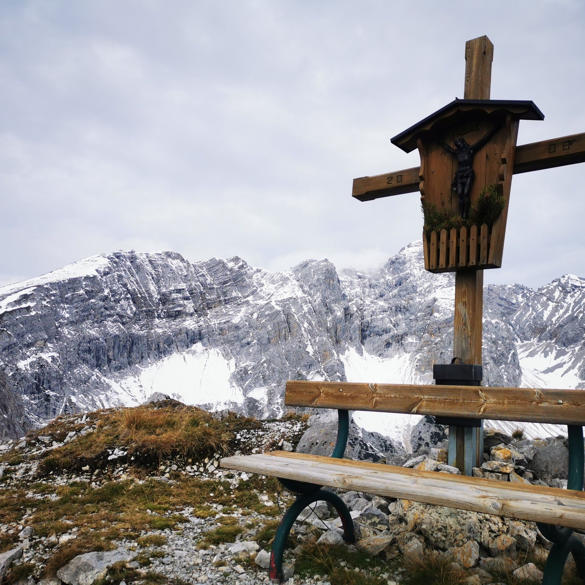
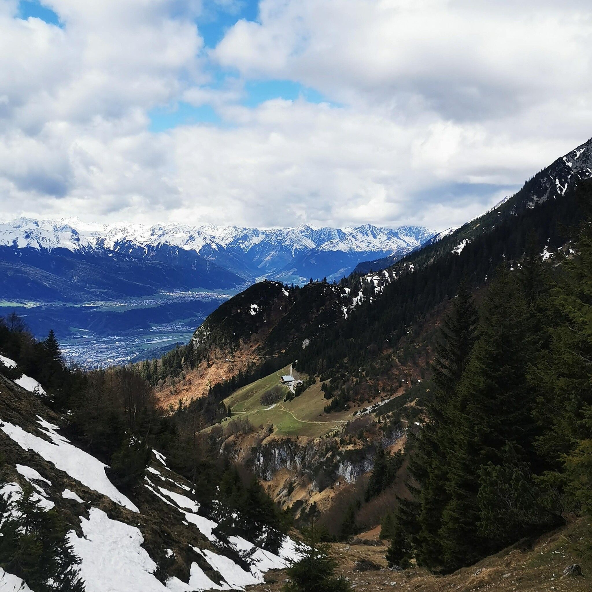
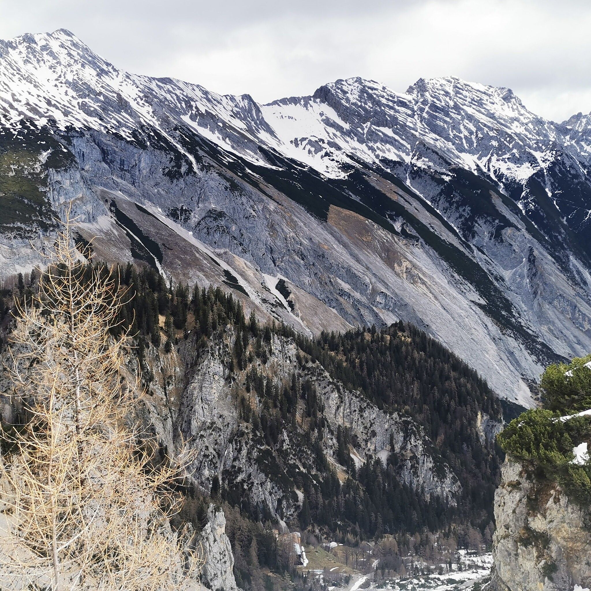
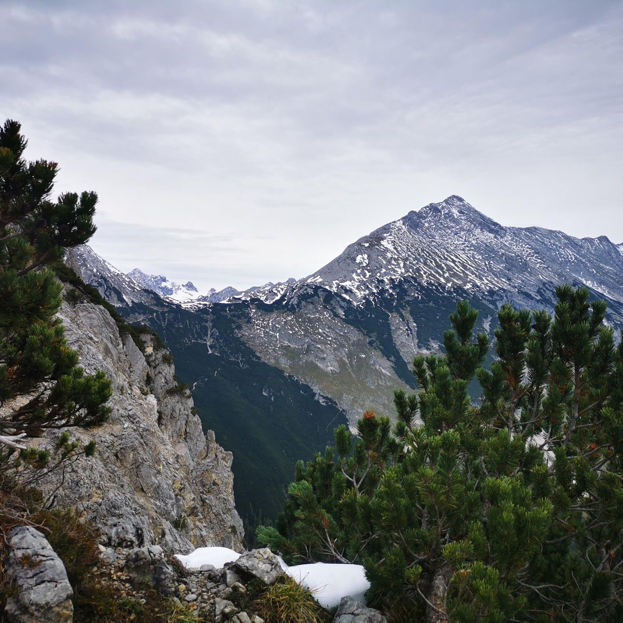
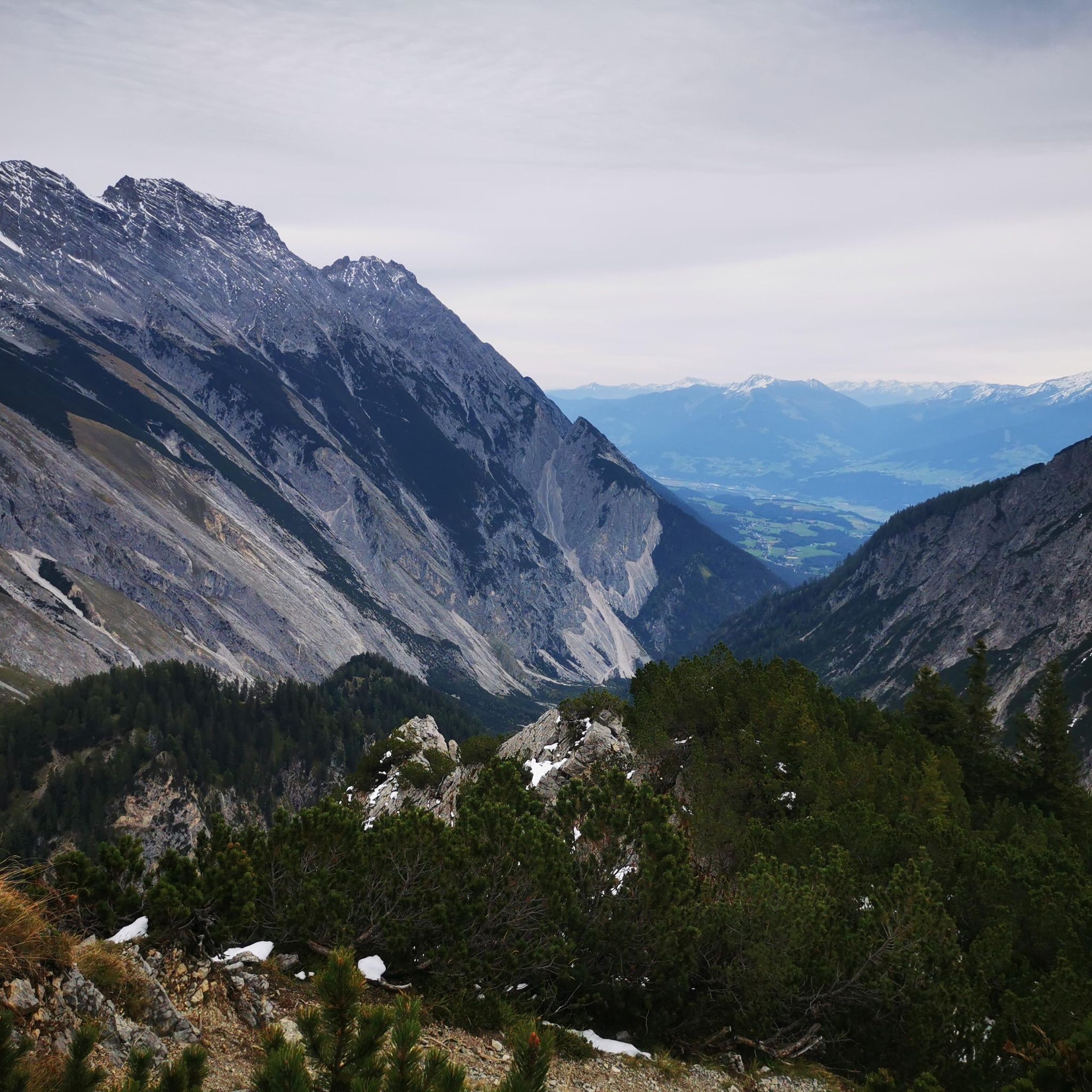
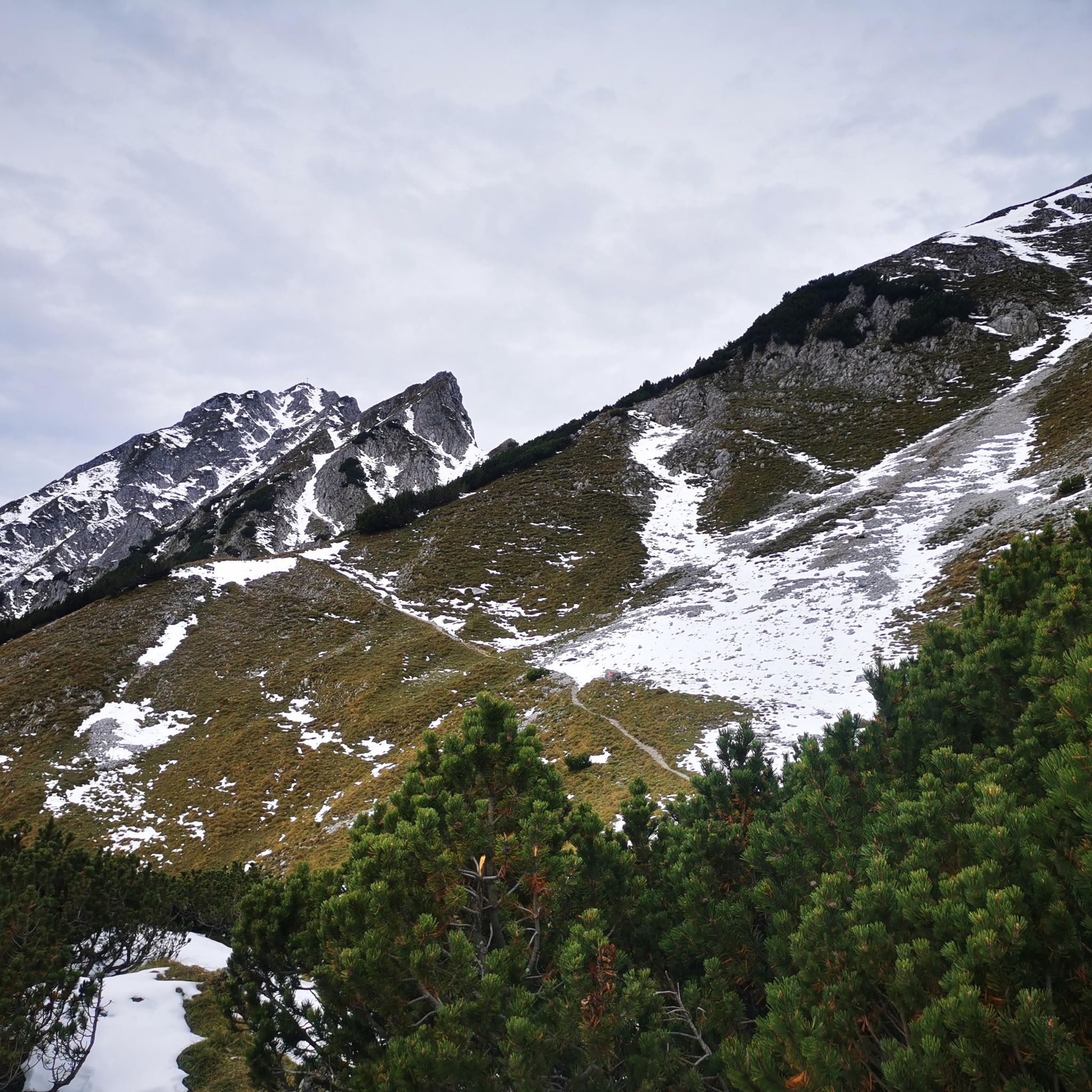
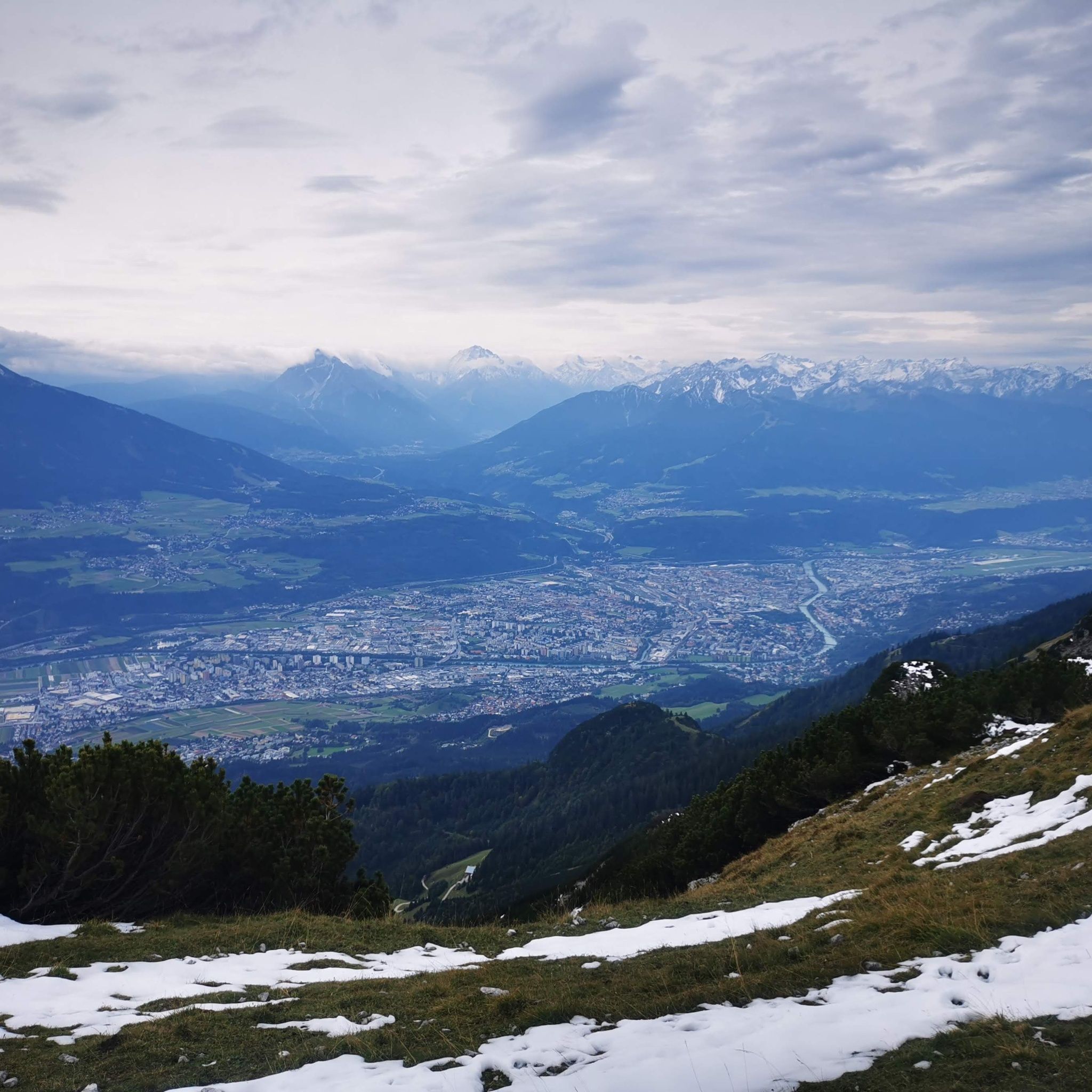
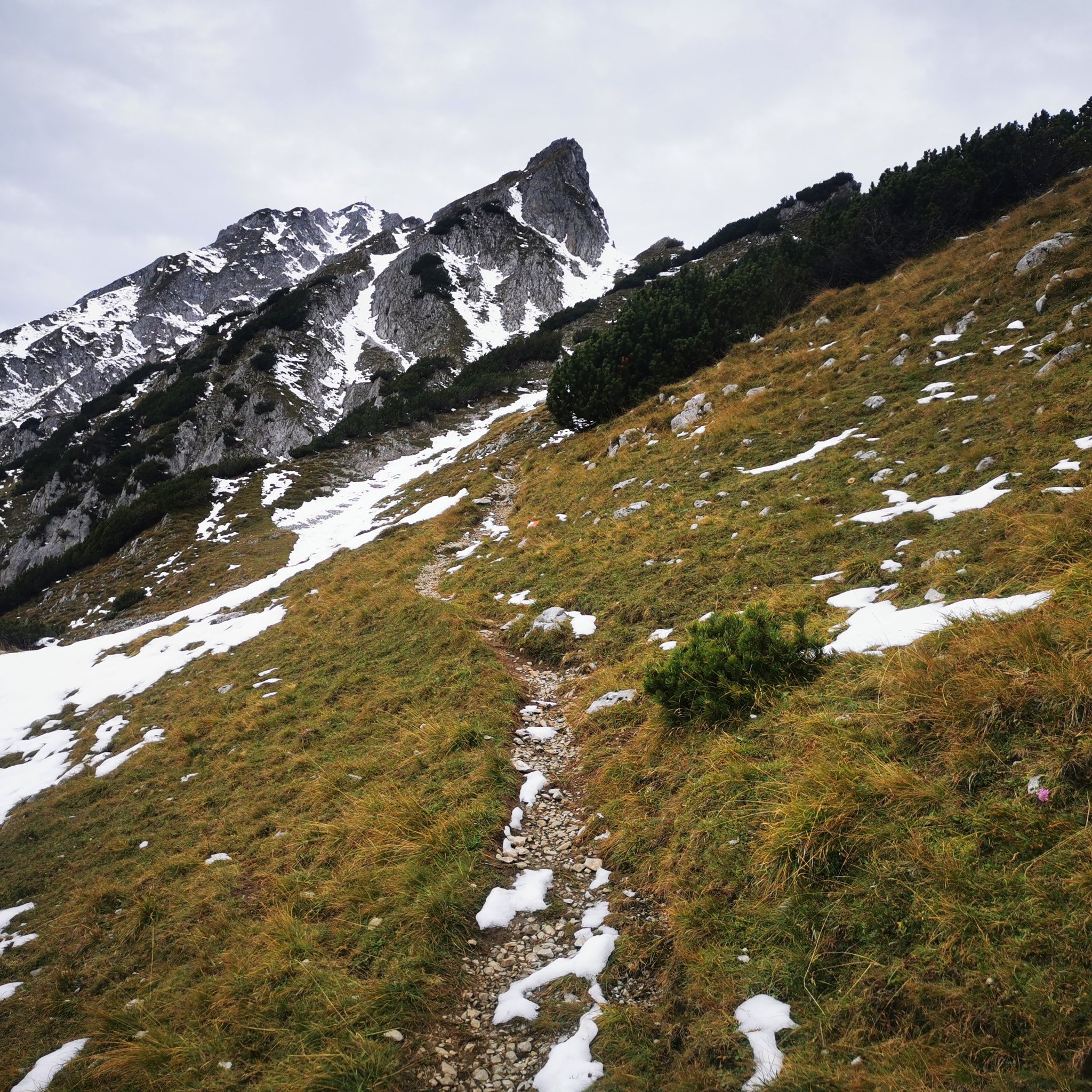
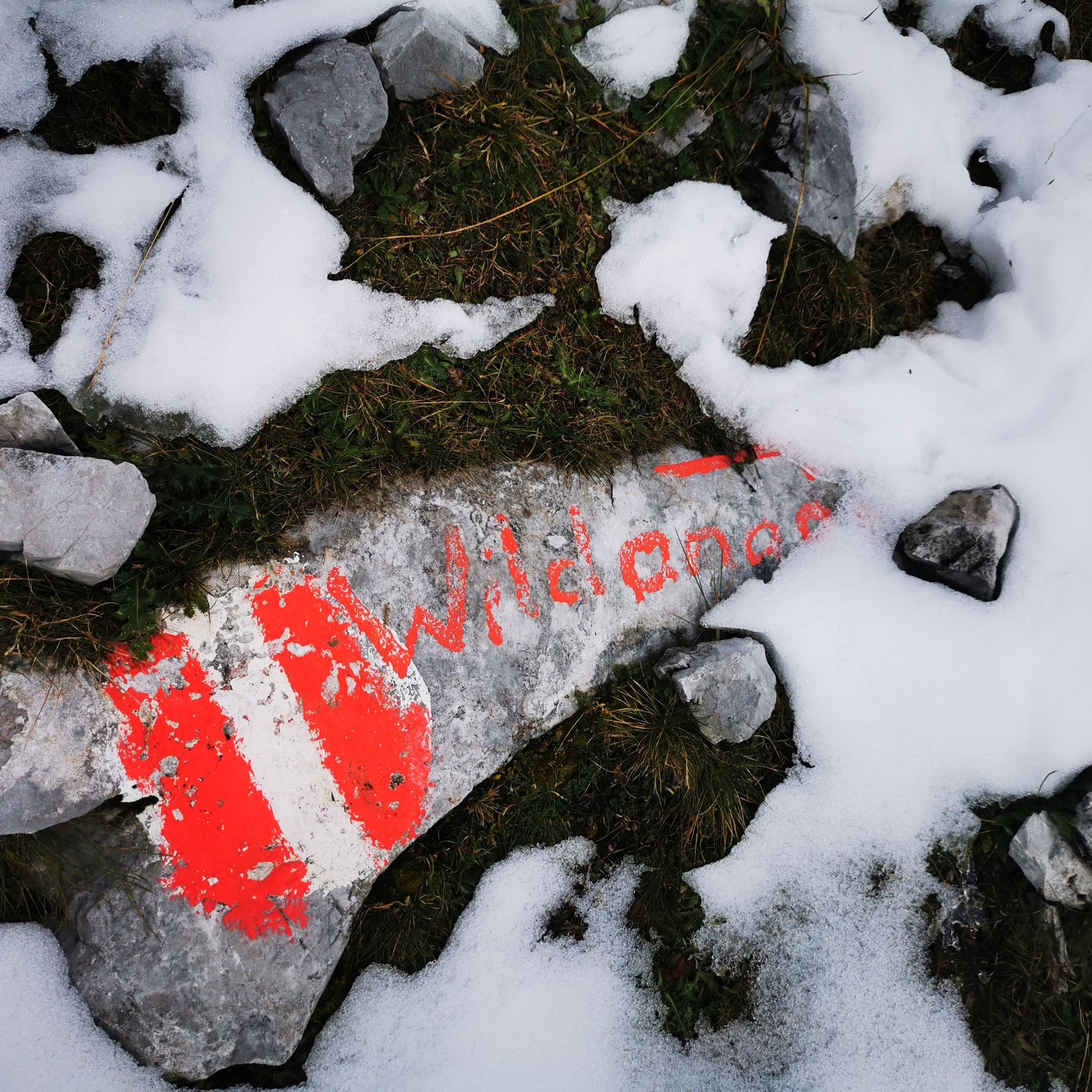
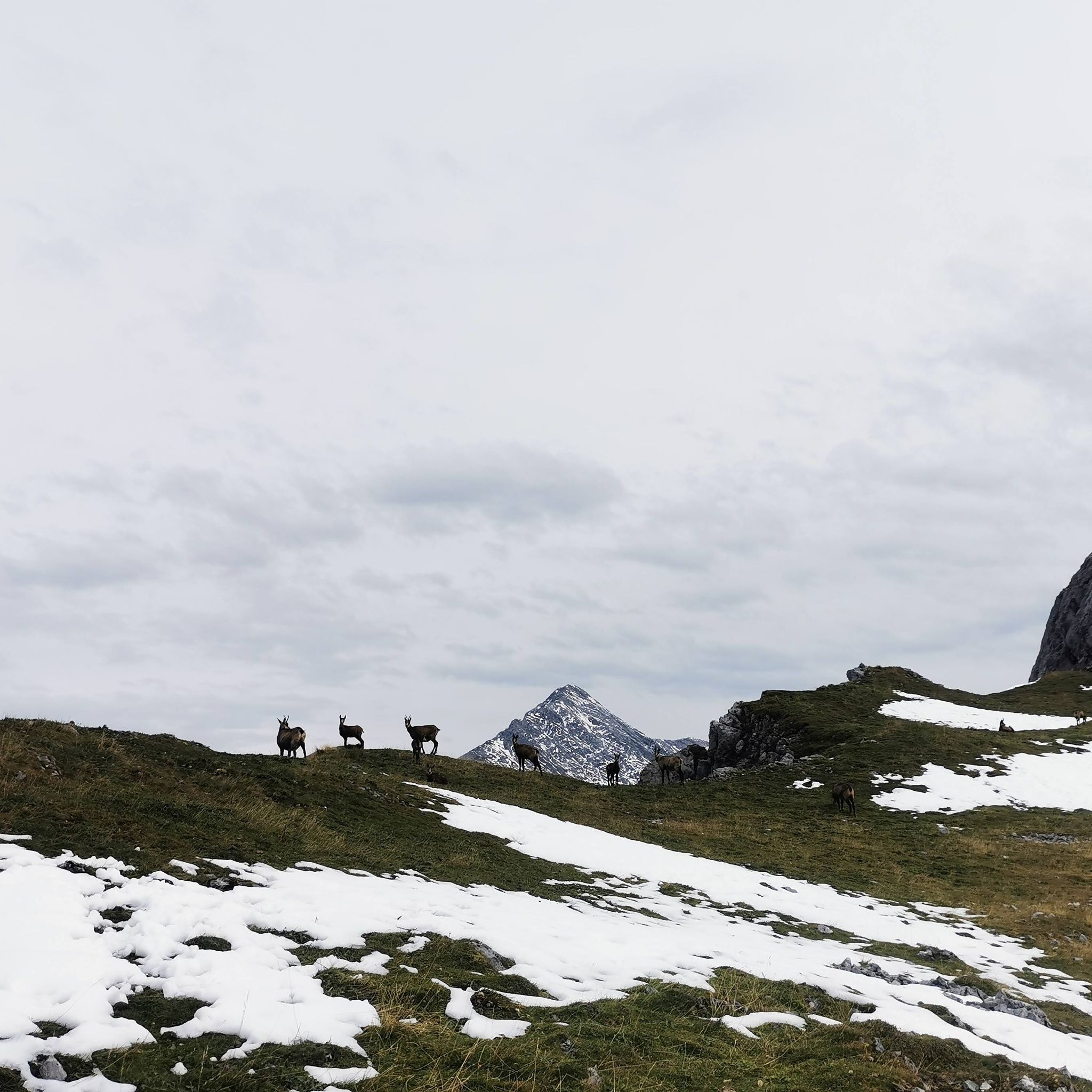
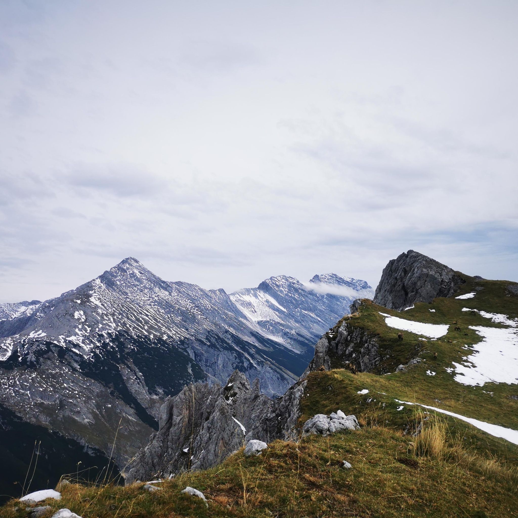
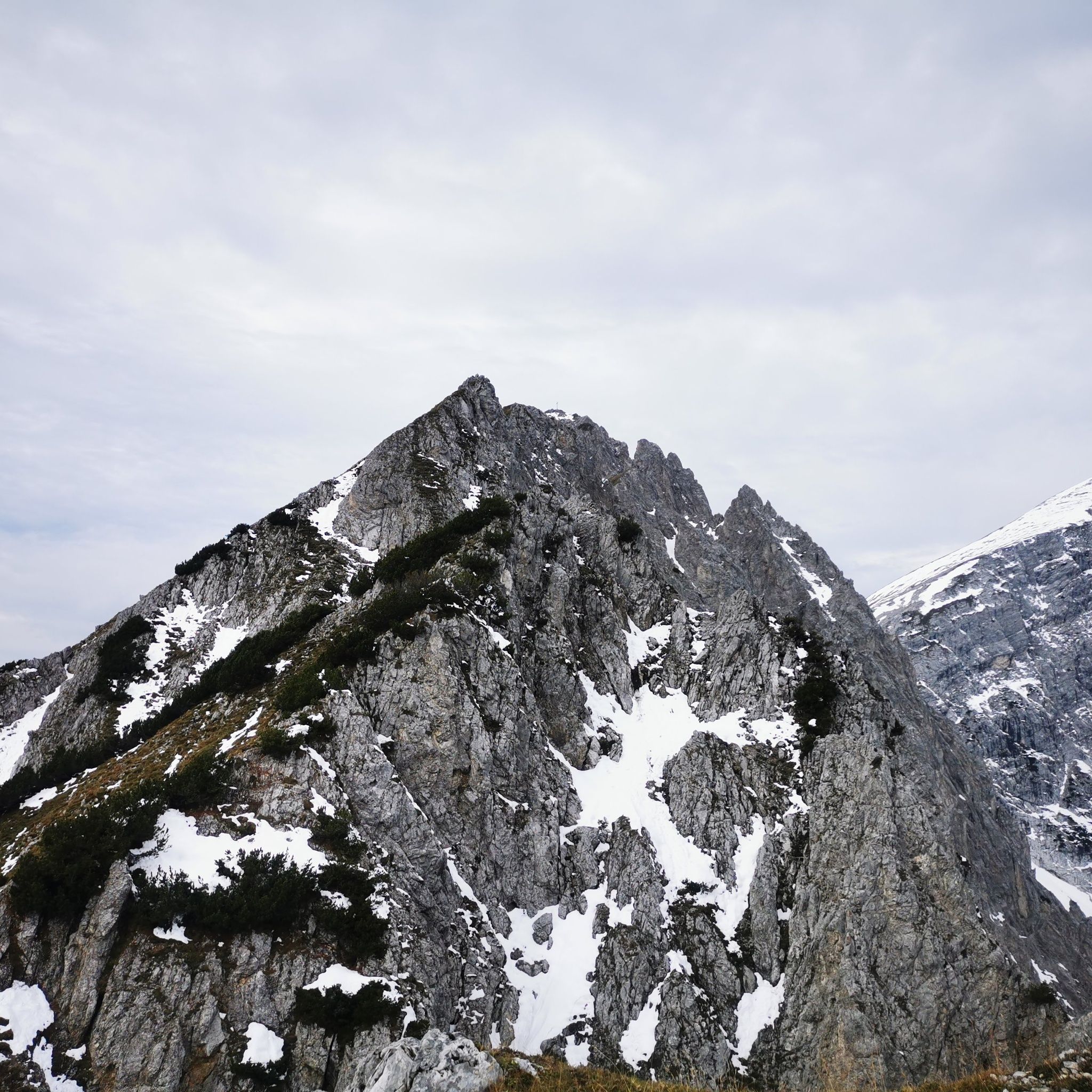
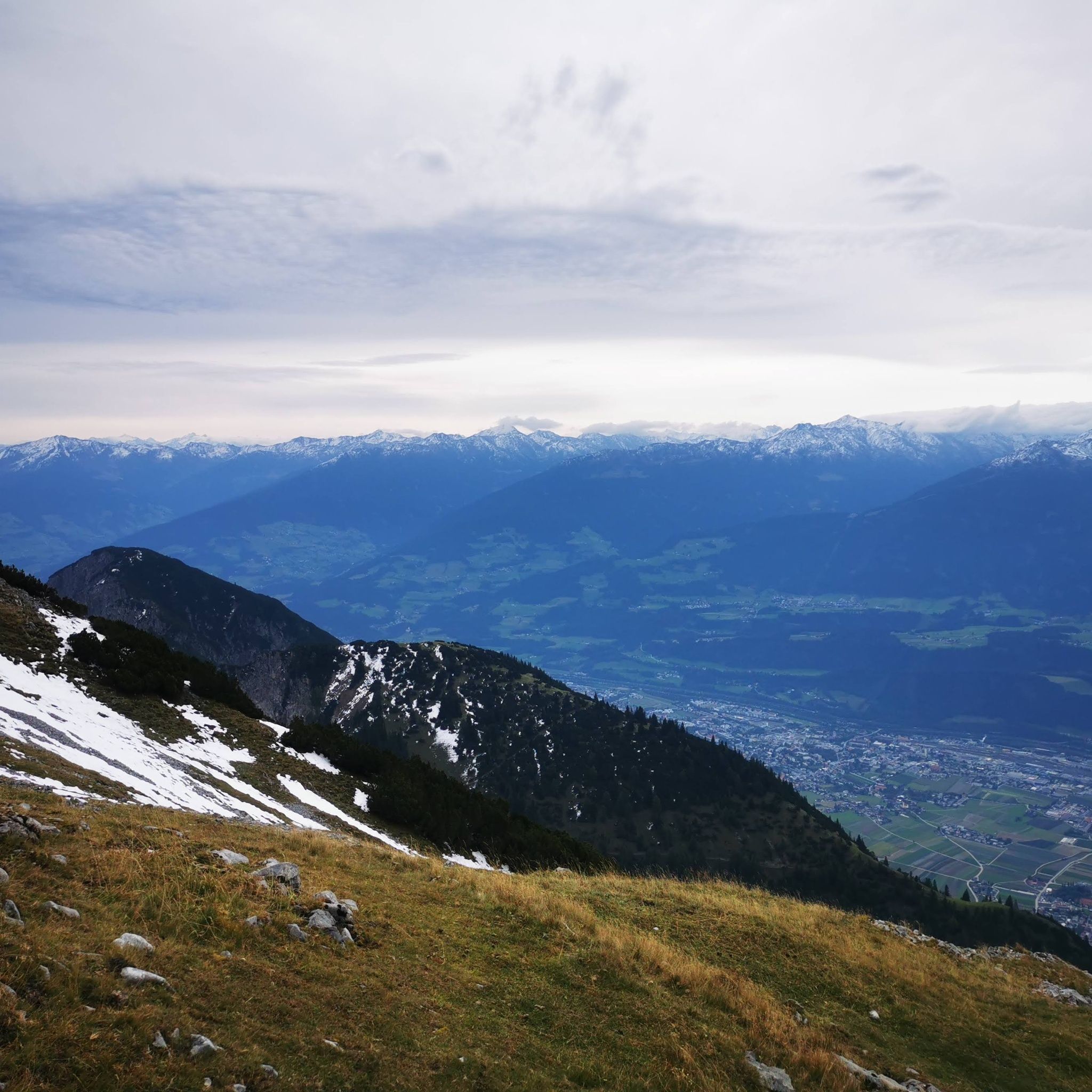
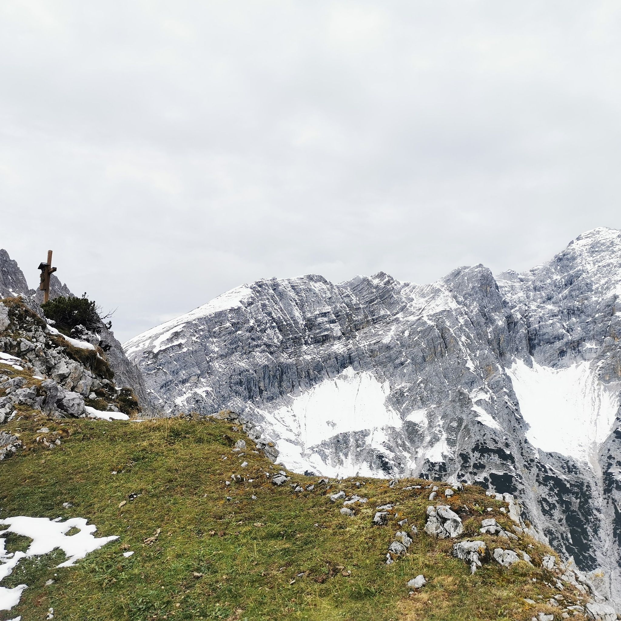
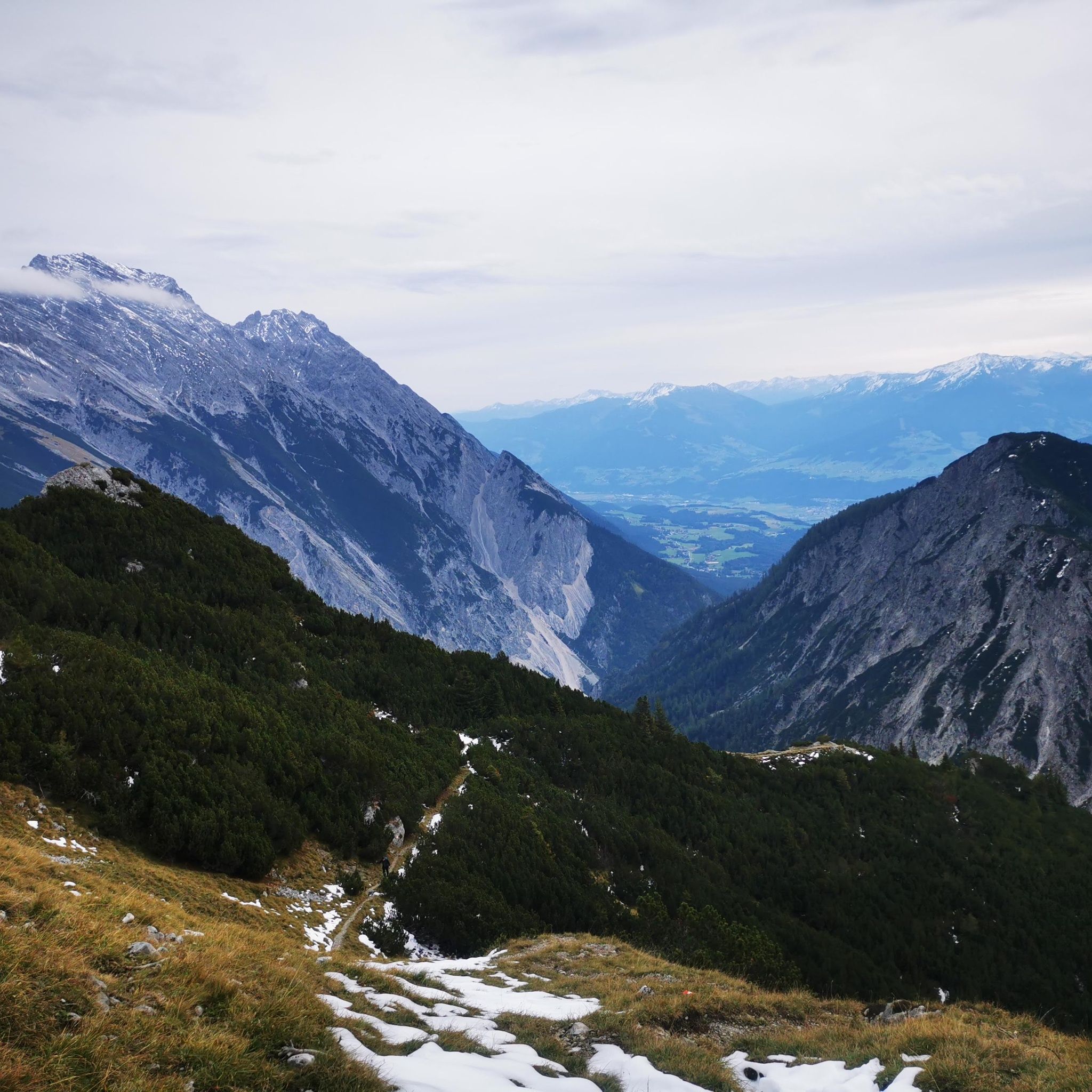
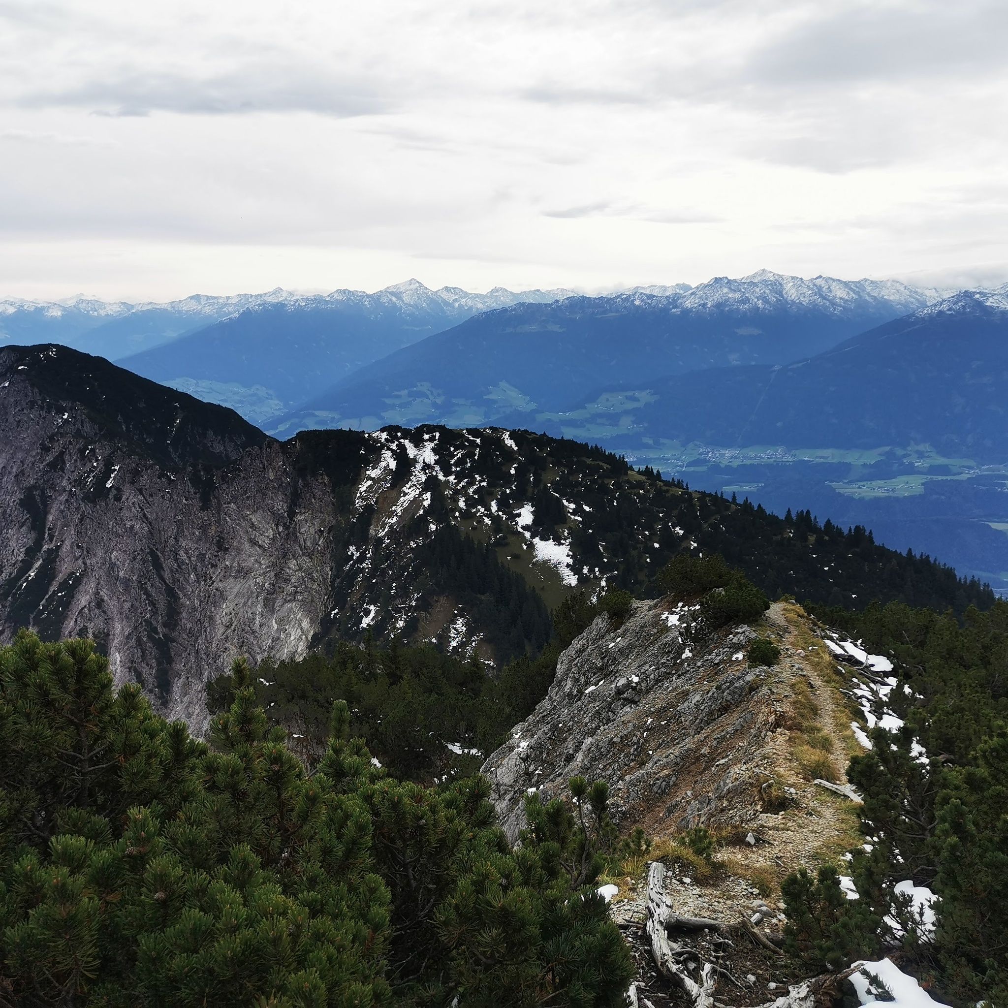
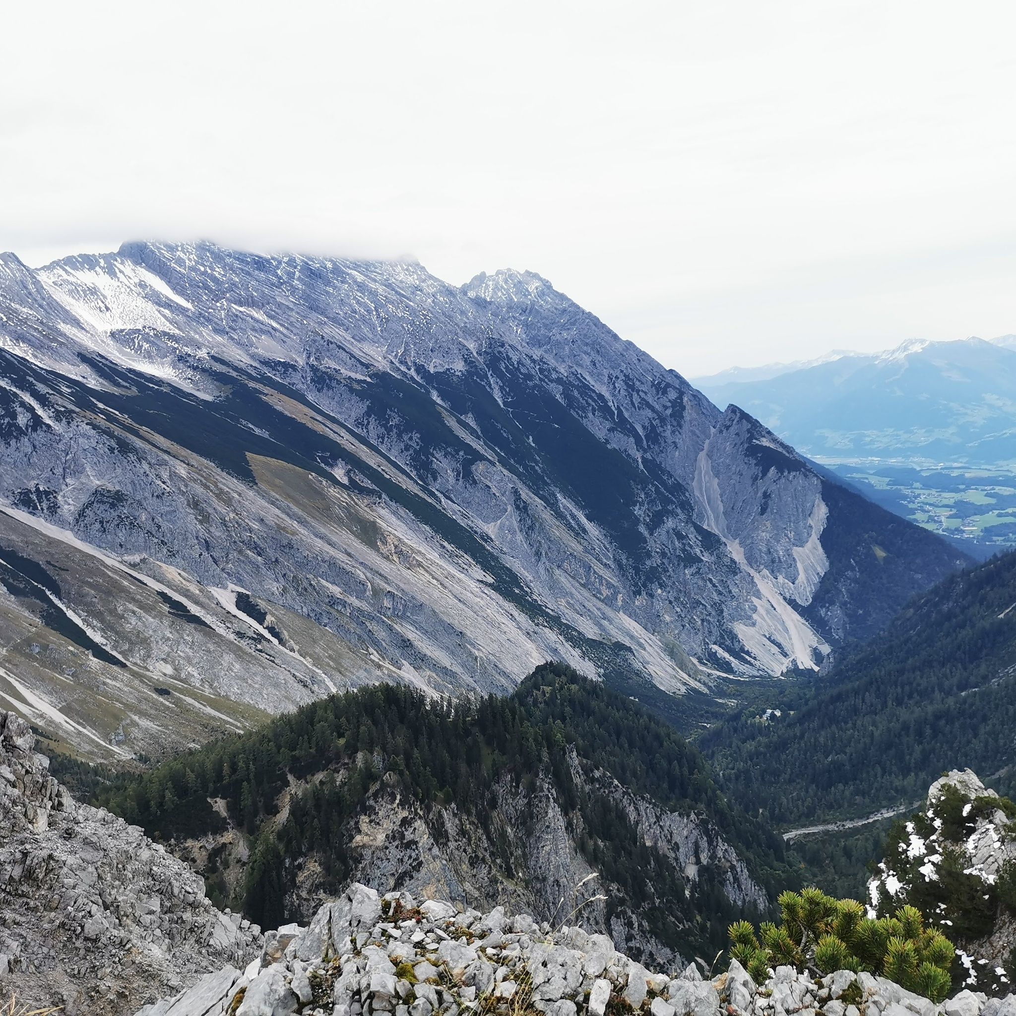
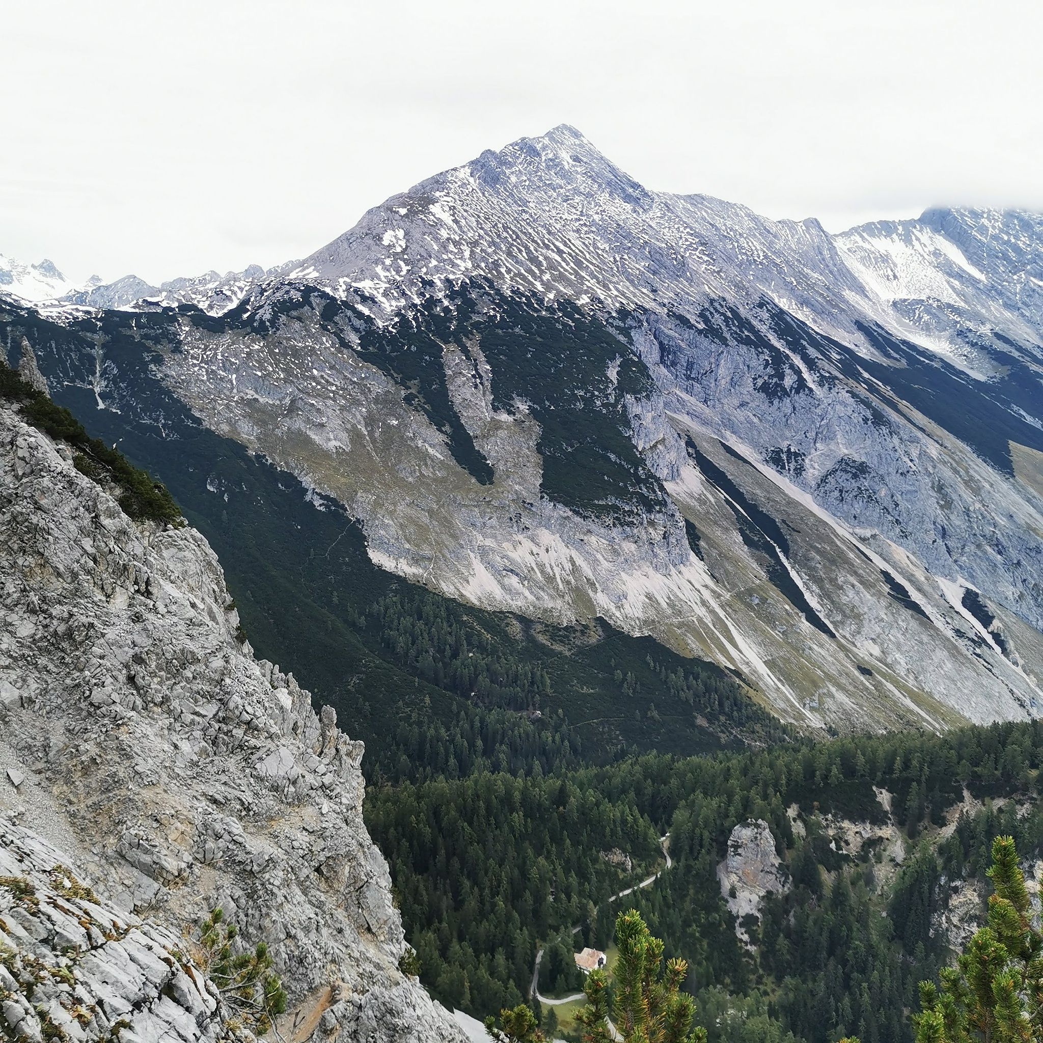
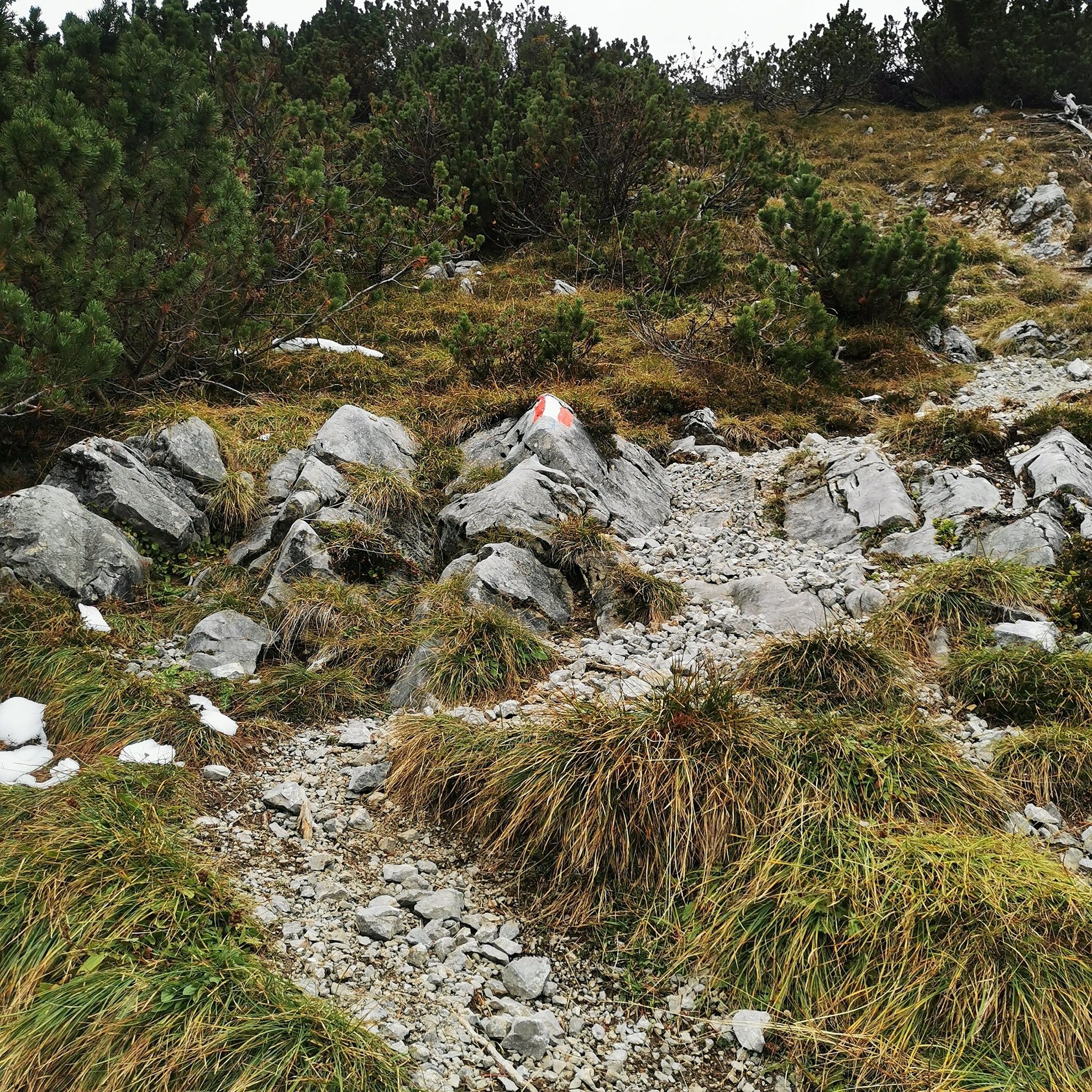
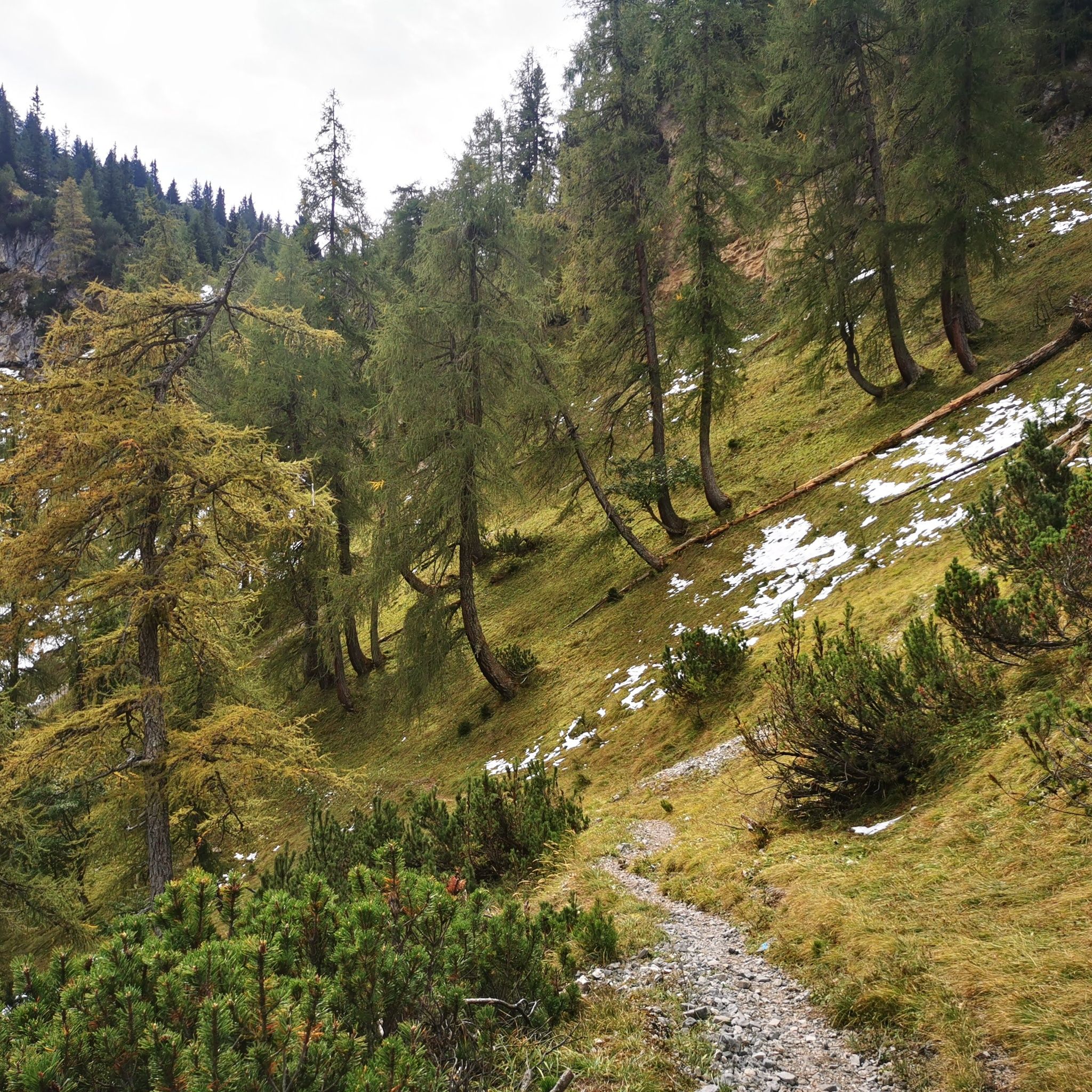
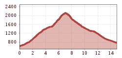
This mountain route leads up to the Wildangerspitze. The return path can be chosen either via the Thaurer Alm or from the Törl with descent through St. Magdalena out through the Halltal.


Nearby huts and mountain restaurants

Getting here

  • Arrival by public transport

    Bus 501/502/503 -> Thaur Mitte

  • Parking

    Parking lot Thaurer Alm

More tours in the surrounding area

Newsletter

The mountain is calling? So does our newsletter!

In our monthly newsletter we reveal the best holiday tips for Tyrol.