
Opening hours:closed
Difficulty:easy
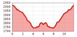
Length:573 mDuration:0:20 hElevation uphill:12 m
Kaiser-Franz-Josef-Weg trail
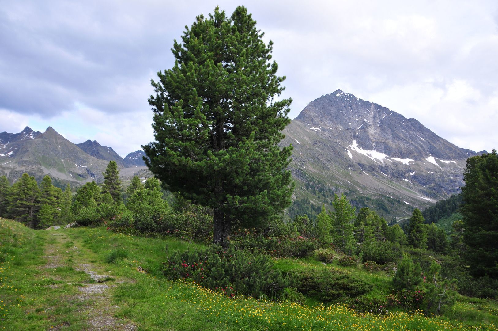
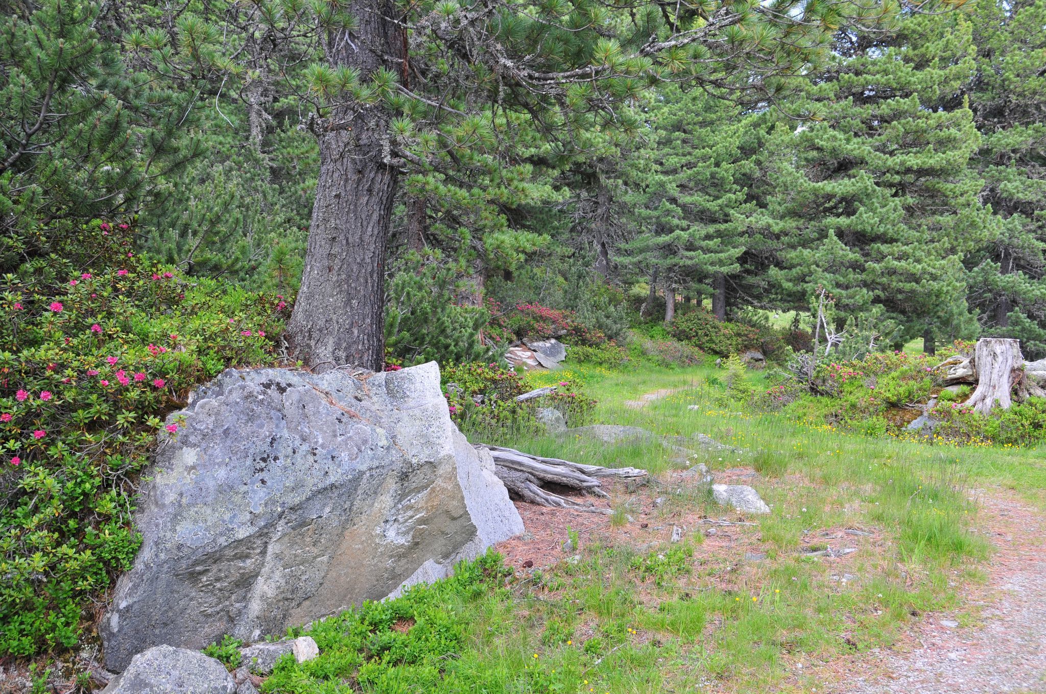
This moderately difficult running route initially leads downhill along the main road towards the Ötz Valley. Just after the Jagdschloss hotel, it turns right to follow the Kaiser-Franz-Josef-Weg trail, taking you along a beautiful forest path. On the Kaiser-Franz-Josef-Weg trail, you cover undulating terrain and pass quiet alpine pastures until you first reach Mareil and then Marlstein. This is the point where you turn around and follow the Kaiser-Franz-Josef-Weg trail back towards the starting point, covering a few more vertical metres along the way.


 Mirja Geh (26).jpg")


.jpg")
")


")


