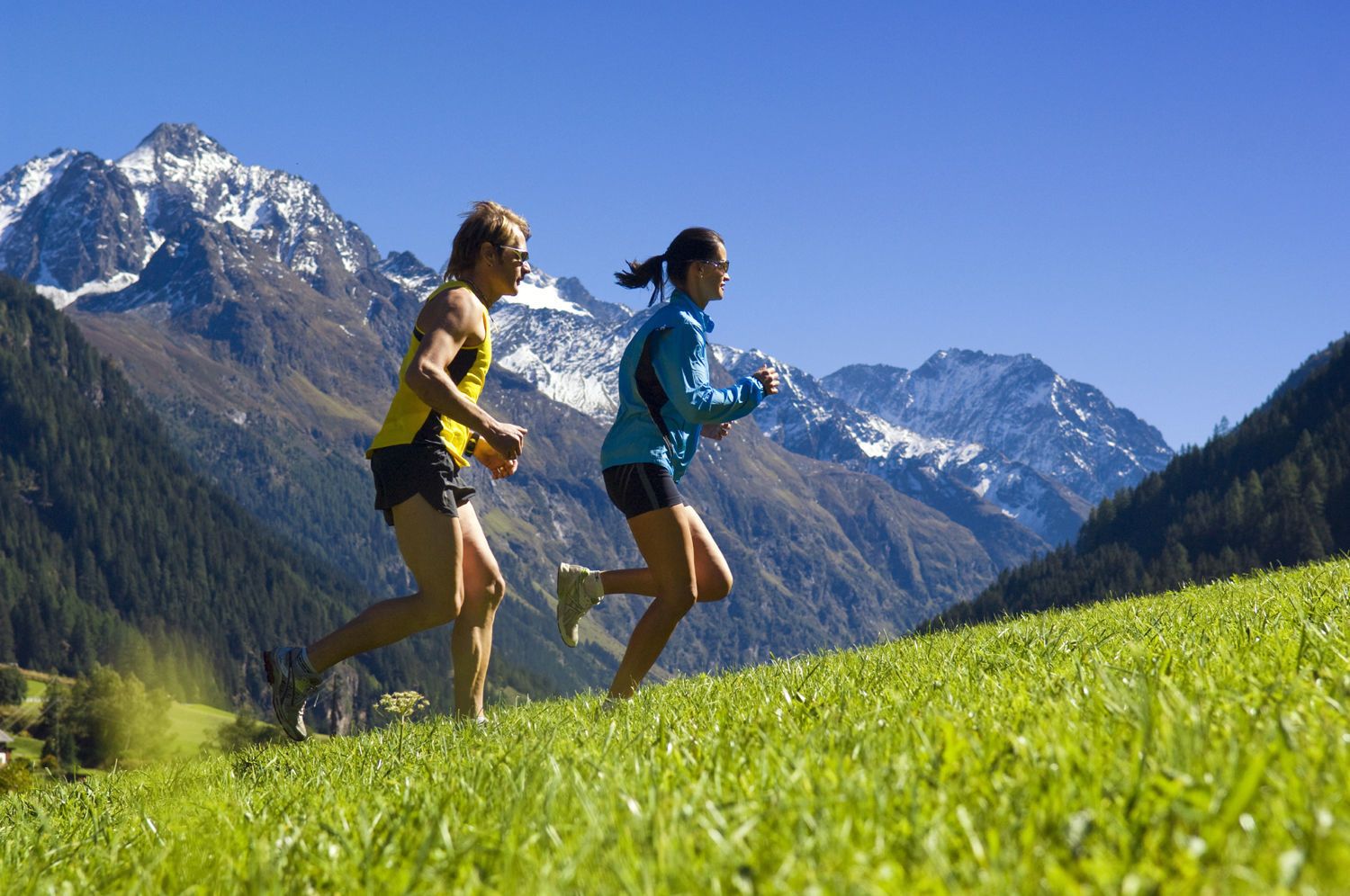
Description start at the sports ground Arzl (parking possible)take the forest road round Ostersteinback to the sports ground leads the Diemer path (illuminated by night)Ideal route for beginners who want to prepare for greater distances.
Pizzeria Die Post © TVB Pitztal Pizzeria-Restaurant Die PostOpening hours:Open todayPlace:Arzl im Pitztal:Restaurantsee restaurant detailssee restaurant details: Pizzeria-Restaurant Die Post
Stube © Herz As Herz As - Restaurant Cafe CateringOpening hours:Today closedPlace:Arzl im Pitztal:Restaurant, cafésee restaurant detailssee restaurant details: Herz As - Restaurant Cafe Catering
Kaunergrathütte © TVB Pitztal/Roman Huber Kaunergrat Circular Route - 3 DaysDifficulty:difficultLength:22.8 kmDuration:13:00 hElevation uphill:2,650 mSee trailSee trail: Kaunergrat Circular Route - 3 Days
Ludwigsburger Hütte © TVB Pitztal/Chris Walch Trail to the Ludwigsburger HütteDifficulty:mediumLength:8.1 kmDuration:3:00 hElevation uphill:700 mSee trailSee trail: Trail to the Ludwigsburger Hütte
Groaßsee © TVP Pitztal Hike to RiegetalDifficulty:difficultLength:7.5 kmDuration:4:00 hElevation uphill:690 mSee trailSee trail: Hike to Riegetal
Braunschweiger Hütte © TVB Pitztal/Eva Beer Braunschweiger HütteDifficulty:mediumLength:10.4 kmDuration:5:00 hElevation uphill:1,050 mSee trailSee trail: Braunschweiger Hütte
Ludwigsburger Hütte © TVB Pitztal/Chris Walch St Leonharder Höhenweg (high-level trail)Difficulty:difficultLength:16.9 kmDuration:9:00 hElevation uphill:1,390 mSee trailSee trail: St Leonharder Höhenweg (high-level trail)
Kaunergrathütte © TVB Pitztal/Roman Huber Trail to the Kaunergrathütte (2,817 m)Difficulty:mediumLength:12.5 kmDuration:7:00 hElevation uphill:1,220 mSee trailSee trail: Trail to the Kaunergrathütte (2,817 m)
Pitztal Alpine Pasture RouteDifficulty:mediumLength:11.4 kmDuration:5:30 hElevation uphill:800 mSee trailSee trail: Pitztal Alpine Pasture Route
Langlaufen_PitztalerGletscher&Rifflsee © Daniel Zangerl Rifflsee cross-country skiing trailOpening hours:closedDifficulty:mediumLength:5.0 kmElevation uphill:83 m:Style: Skating, ClassicGo to Cross-country skiing trailGo to Cross-country skiing trail: Rifflsee cross-country skiing trail
Braunschweiger Hütte © Roland Grüner Ötztal Trek Stage 18Difficulty:difficultLength:9.5 kmDuration:9:30 hElevation uphill:979 mSee trailSee trail: Ötztal Trek Stage 18
Rüsselsheimer Hütte © Roland Grüner Ötztal Trek Stage 19Difficulty:difficultLength:11.0 kmDuration:5:00 hElevation uphill:1,246 mSee trailSee trail: Ötztal Trek Stage 19
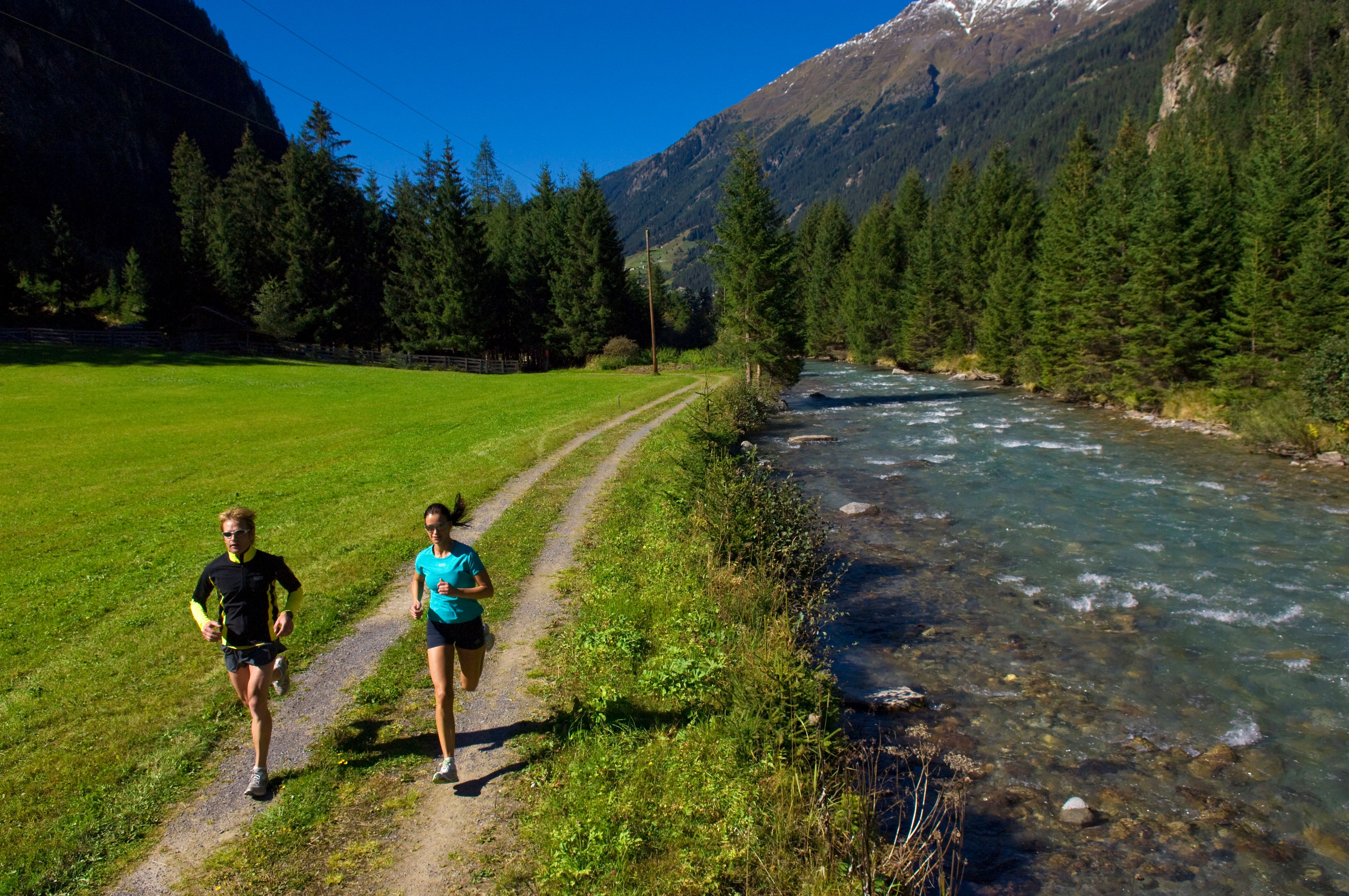
Benni-Raich-Brücke_0518_001.jpg © TVB Pitztal/Chris Walch Arzl - Benni-Raich-Bridge - WaldDifficulty:easyLength:1.8 kmDuration:0:40 hElevation uphill:120 mSee trailSee trail: Arzl - Benni-Raich-Bridge - Wald
Arzler Alm 1 © TVB Pitztal/Chris Walch Arzler Alm – TiefentalalmDifficulty:mediumLength:11.3 kmDuration:5:00 hElevation uphill:1,000 mSee trailSee trail: Arzler Alm – Tiefentalalm
Stuibenwasserfall © TVB Pitztal/Chris Walch Panorama hike Stuiben waterfallDifficulty:mediumLength:5.5 kmDuration:2:30 hElevation uphill:320 mSee trailSee trail: Panorama hike Stuiben waterfall
Give feedback for a chance to win a special holiday experience!Click here for the surveyClick here for the survey