
Opening hours:closed
Difficulty:medium
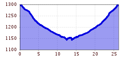
Length:900 mElevation uphill:180 m
Stanzertalradweg 32 A
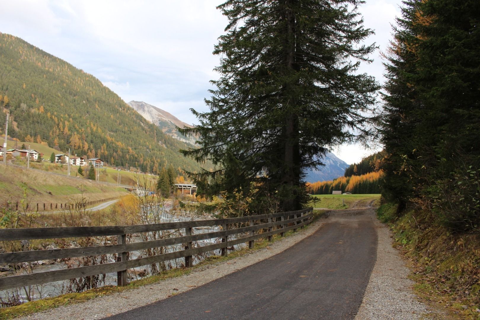
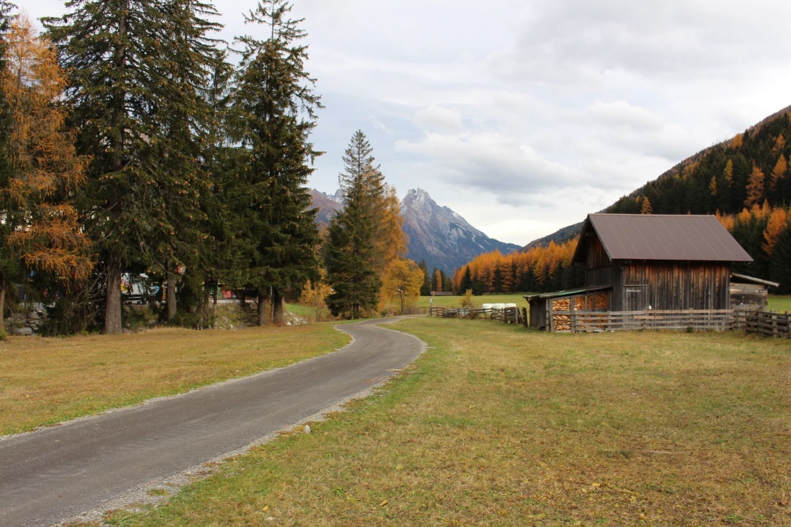
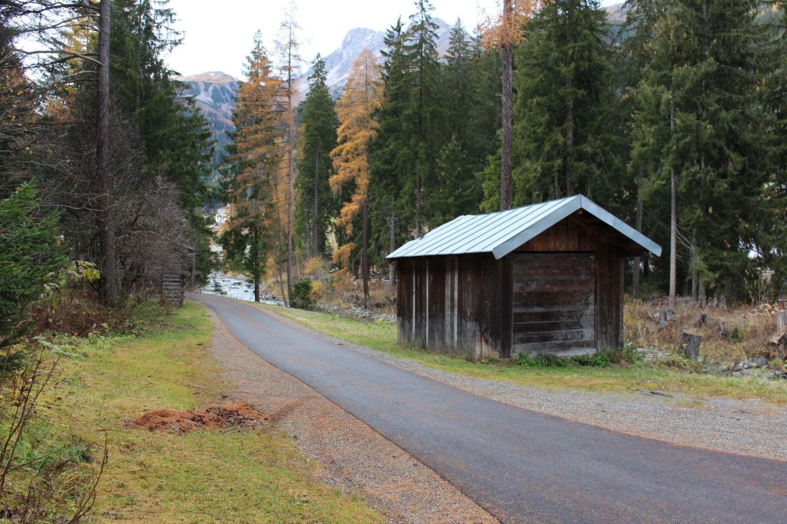
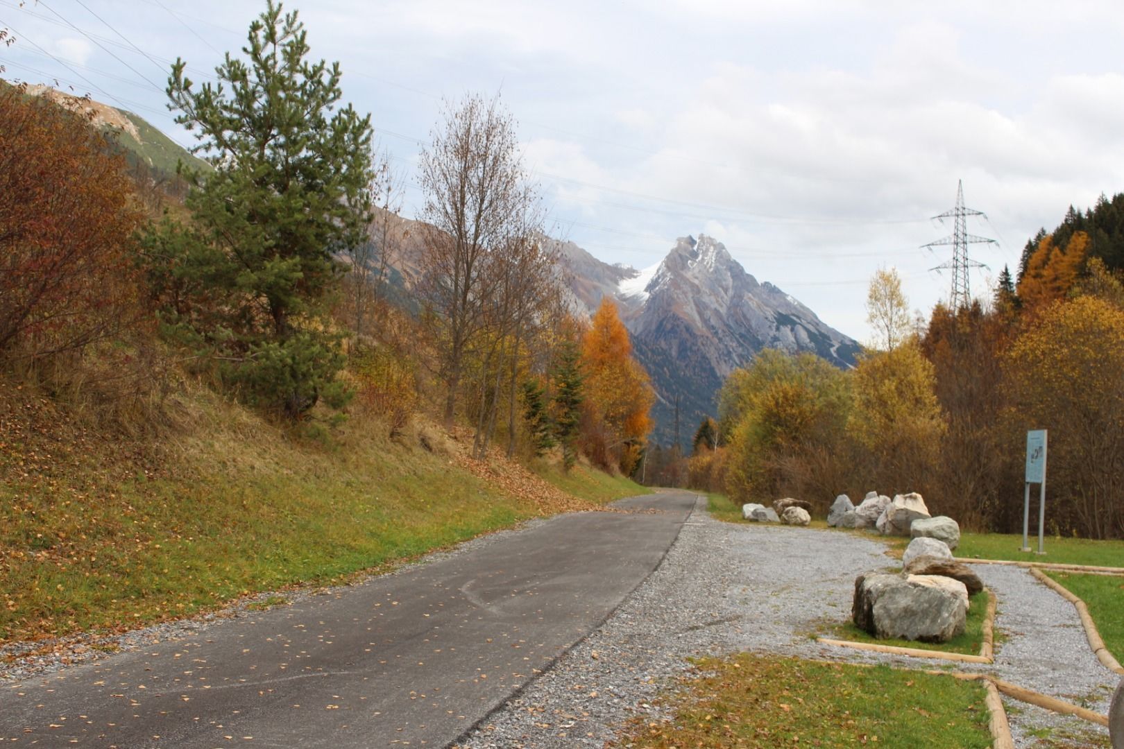
Starting at the railway station in St. Anton, first take the bypass road in an easterly direction to the football pitch. Once there, turn right at the subway and continue to the start of the Stanzertalradweg. From here, the well-signposted cycle path leads along the Rosanna river to Flirsch. Then the path branches off to the left at the football pitch into the centre of Flirsch. The return route is the same.
.jpg")


.jpg")
