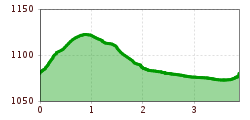
Short description:Lightly hilly running and Nordic walking route in ZöblenTechnique: *Quality of experience: ******Recommended season:JanuaryFebruaryMarchAprilMayJuneJulyAugustSeptemberOctoberNovemberDecemberProperties:LoopScenicRefreshment stops availableFamily friendlyGeological highlightsBotanical highlightsFaunistic highlights
Description:
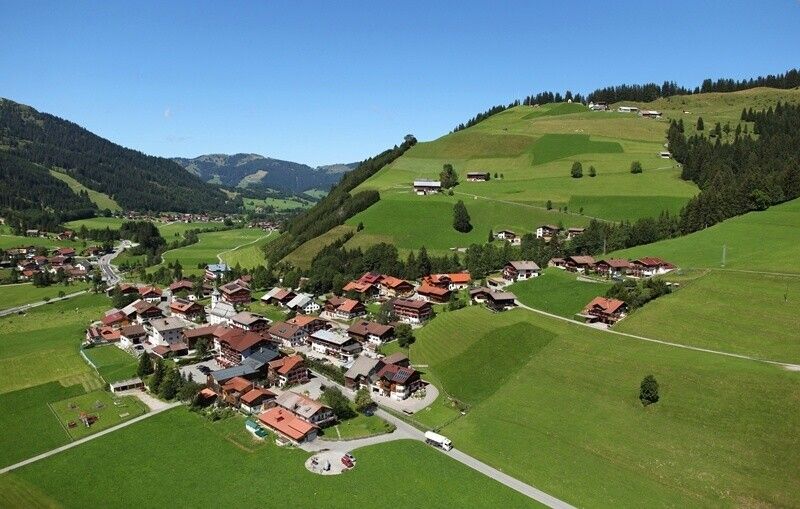
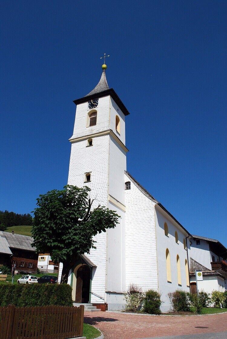
Experience the Running and Nordic Walking Arena Tannheimer Tal
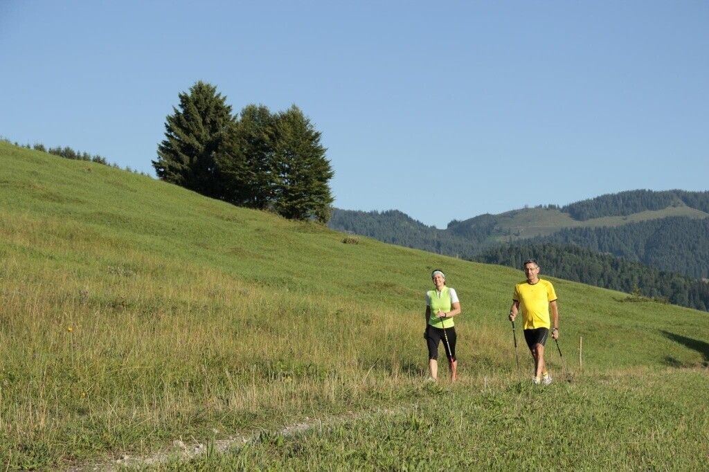
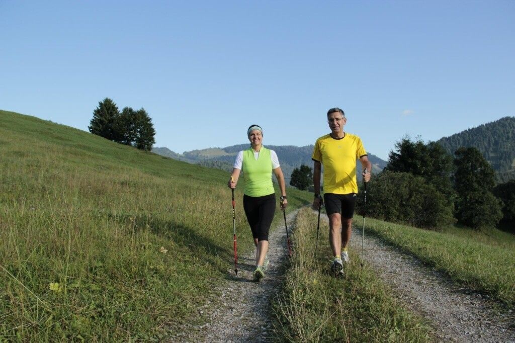
Whether breathless beginner or well-trained mountain athlete: In the Tannheimer Tal, everyone who wants to move in the fresh air and explore the surrounding mountains on foot will find what they are looking for. Every active person, from hobby athletes to professionals, faces a tough choice daily: the largest trail network in Tirol offers 26 marked routes extending over a total of 186 kilometers. There are beginner loops as well as demanding mountain runs. To ensure all guests know which path matches their fitness and demands, a specially developed map and small boards provide information on altitude profile, difficulty level, and trail length – the running and Nordic walking map.
Along meadows, over green alpine pastures, past sparkling mountain lakes... Walking and running in the Tannheimer Tal is not only the best training for the body but especially a balm for the soul. The starting points for all eager for exercise are located in the six towns of Tannheim, Grän-Haldensee, Nesselwängle-Haller, Zöblen, Schattwald, and Jungholz. From there, walkers, Nordic walkers, and runners follow the signposts. They are easy to recognize: little figures with poles. Additionally, all routes, as well as ski slopes, are categorized as black, red, and blue. An optimal designation that contributed among other things to this probably most beautiful high valley in Europe officially calling itself a "Running and Walking Competence Center" since 2005.Directions:
Heading north through Zöblen and continuing on the lower ridge path heading east to the campsite. Turn right, head towards the federal road and cross it. At the first crossroads turn right and return west to the starting point.
Tip:Great round, perfect for training
Safety guidelines:It should be noted that there is a risk of accidents and injuries in running and walking sports. Despite careful route planning, a basic risk always remains. Preparation by endurance training, appropriate technical training and education, as well as personal caution, reduces the risk of accidents and hazards.
Equipment:Your personal equipment must be safe, functional, and meet the respective technical standards. It is recommended that everyone inform themselves about the planned routes through specialist literature or locally. Complete equipment is strongly recommended even for experienced users!
Additional information:


.jpg")


