Skiing
The 10 longest ski slopes in Tyrol
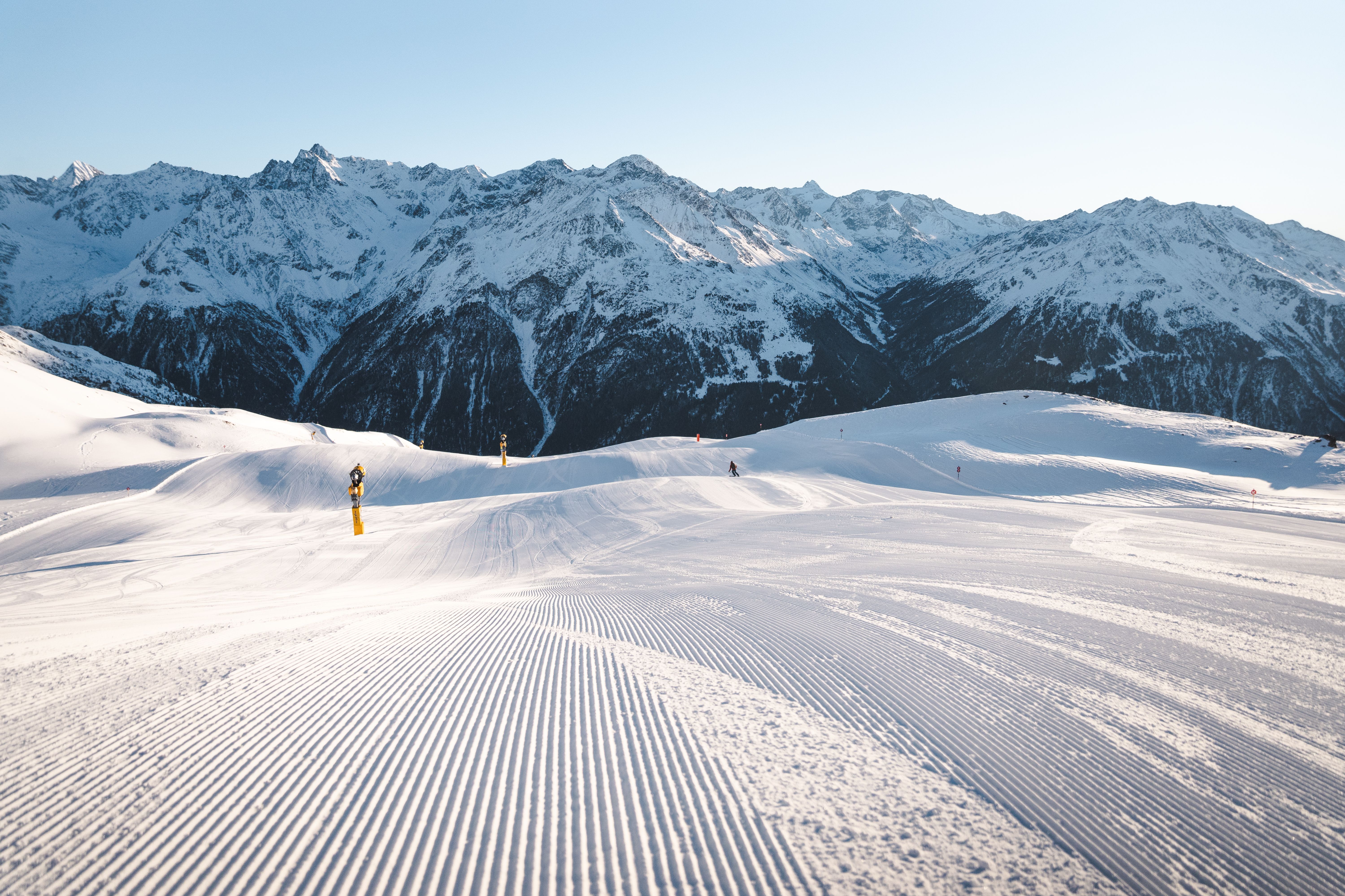
A good reason why we love sore muscles just as much as the snow: our extra-long descents. Well, actually, that's a good 10 reasons. With a total of 110 kilometers. On these seemingly endless slopes, you can ski until your calves burn.