

Opening hours:Today closed
Place:Leutasch
:Alpine pasture / hut / mountain restaurant
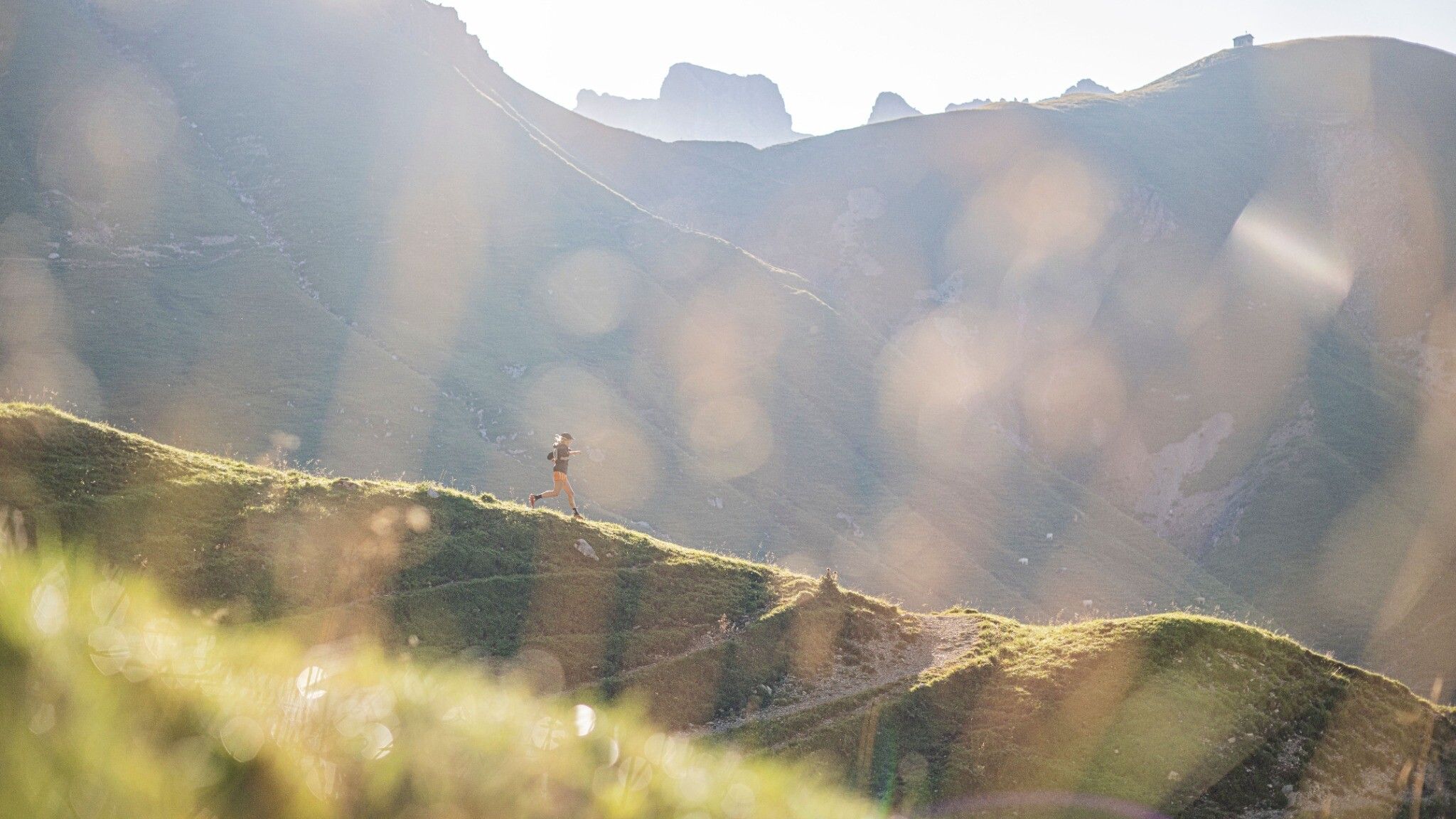
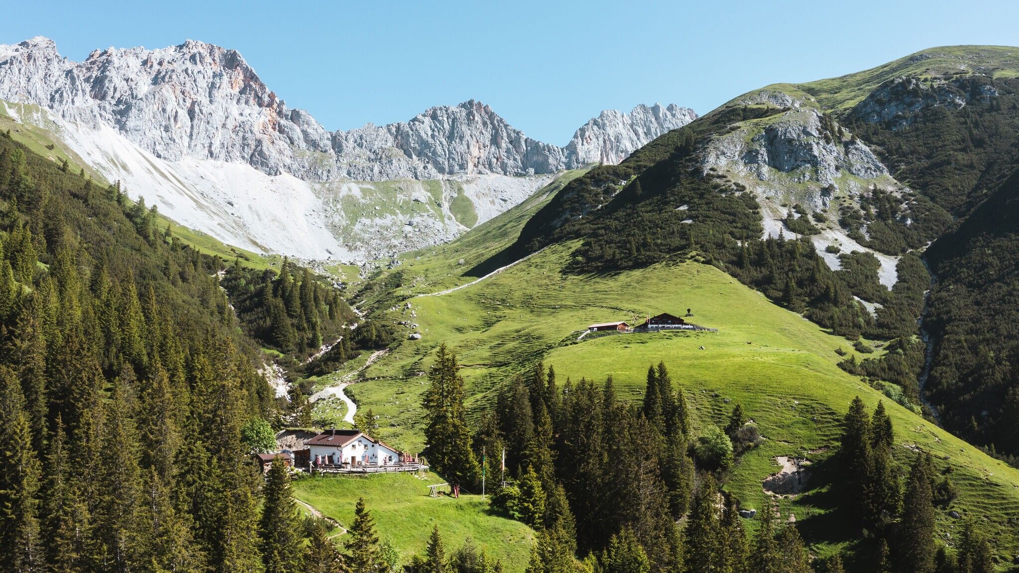
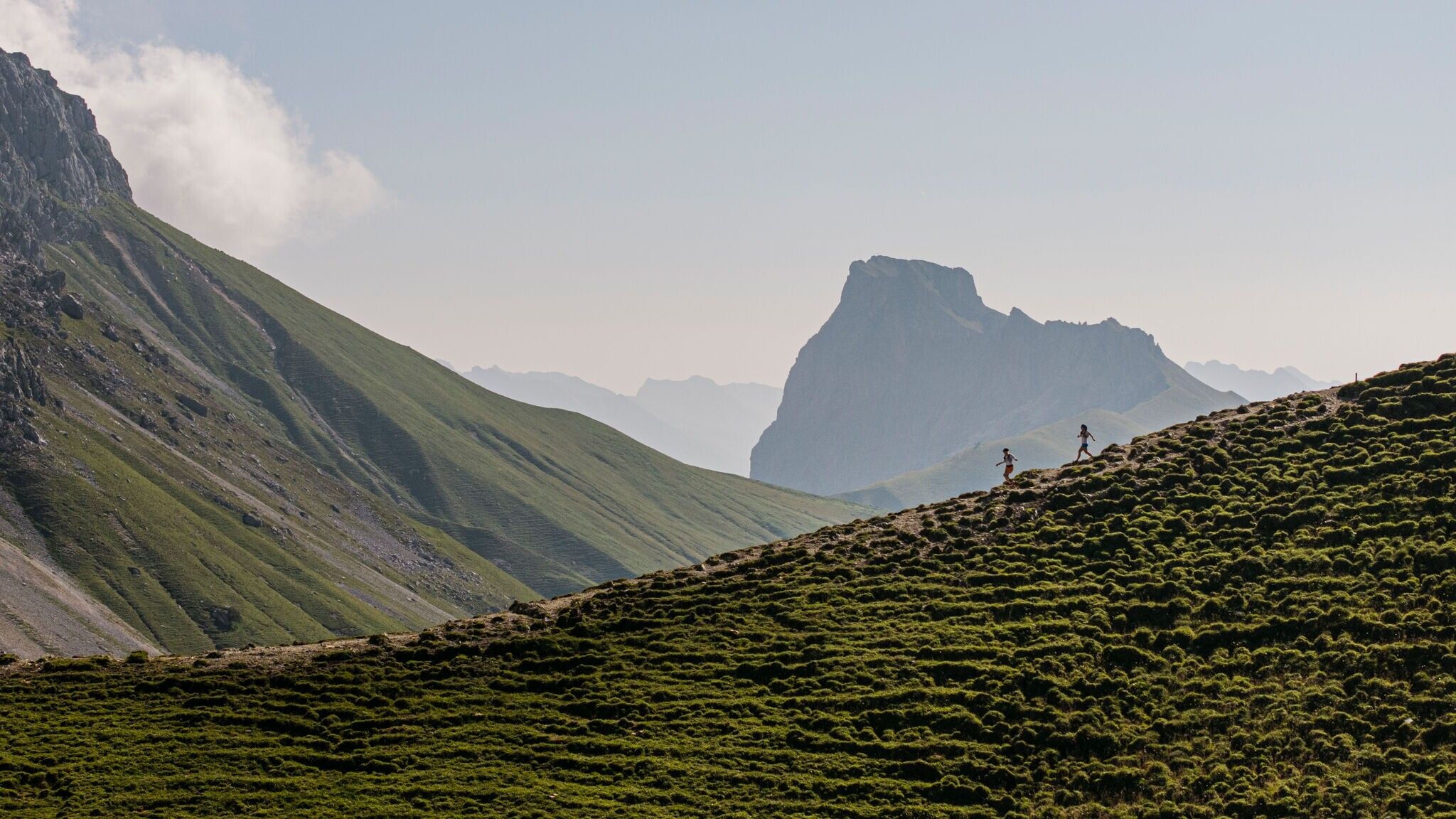
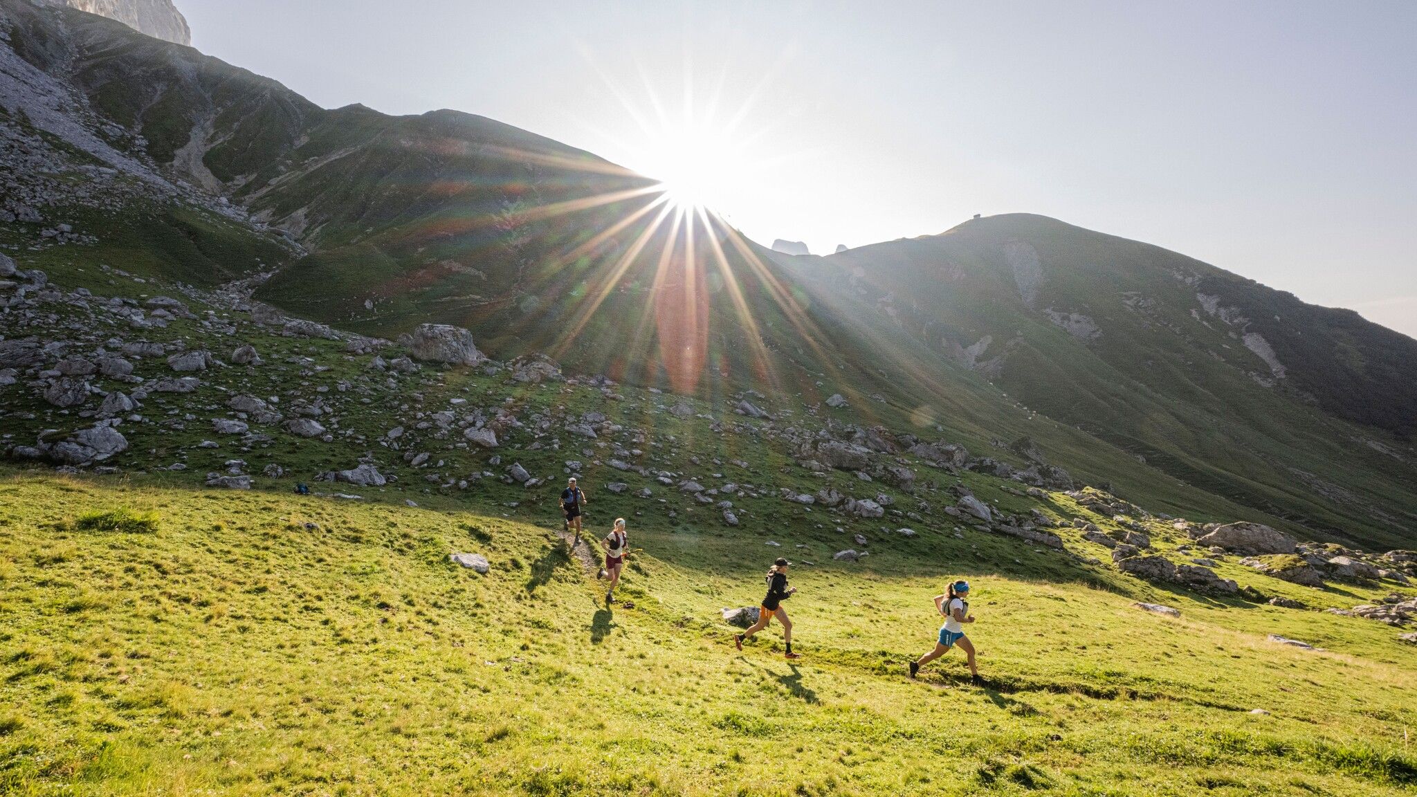
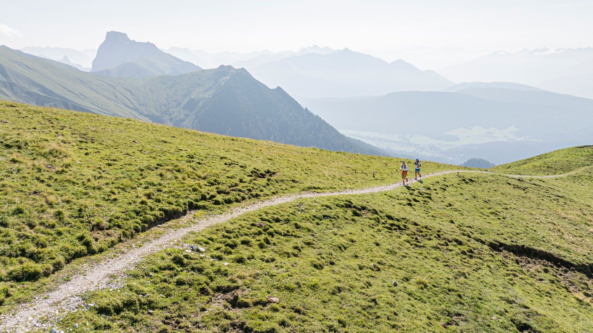
Moderate trail running loop from the Gaistal in Leutasch to Rotmoosalm (2,032 m) through diverse alpine landscapes, offering panoramic views of the Gaistal, Leutasch Valley, and Wetterstein Mountains.






Attention: The Wetterstein Hut remains closed until further notice.
This trail run starts at the last parking lot (P5) in Gaistal, near the "Gaistal/Salzbach" bus stop. The route first follows the Leutascher Ache downstream before crossing the river at the next bridge. From there, a forest road climbs uphill, transitioning into a narrow hiking trail leading to the unoperational Wettersteinhütte. The final section to the Wangalm is a steep path.
Along the way, you may encounter sheep and cows grazing in the meadows. Keep left at the memorial stone and follow the signs for the Südwandsteig towards Rotmoosalm. At the top, you'll be rewarded with stunning views and fantastic running trails. After a short break at Rotmoosalm, the descent begins.
The first part is steep and can be technically challenging when wet. The trail then continues through the forest, leading down to the Hämmermoosalm. From there, it's an easy run back to the starting point.
The estimated running time is a guideline and depends on personal fitness.
Take the bus to Leutasch and get off at the 'Gaistal/Stupfer' bus stop.
All real-time connections can be found in the route planner.
From Innsbruck, take the A12 Inntalautobahn to the Seefeld/Garmisch exit, then continue over the Zirlerberg to Seefeld and follow the signs to Leutasch. From Landeck/Reschen, take the A12 to the Telfs Ost exit, then drive over the Telfer Berg and follow the signs to Leutasch. From Garmisch, pass through Mittenwald on the way to Leutasch.
In Leutasch, take the Buchener Landesstraße to Platzl and then drive towards Plaik. After that, take the road through the Klamm district. Here, you'll find the three parking lots 'Salzbach' P3, P4, and P5. Park at one of these parking lots.
Parking lot P2 'Stupfer' in Gaistal - Leutasch.
You can find all other car parks in Leutasch here.


