Long and scenic trail to the highest grass mountain in the Kitzbühel Alps, where surefootedness is required.
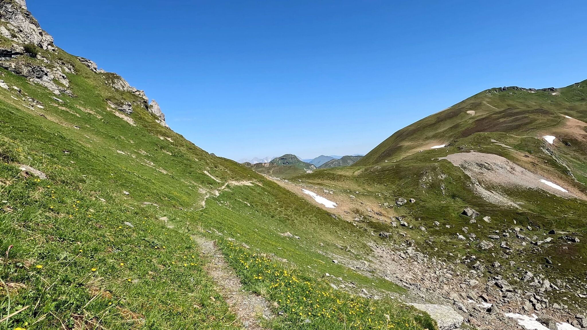
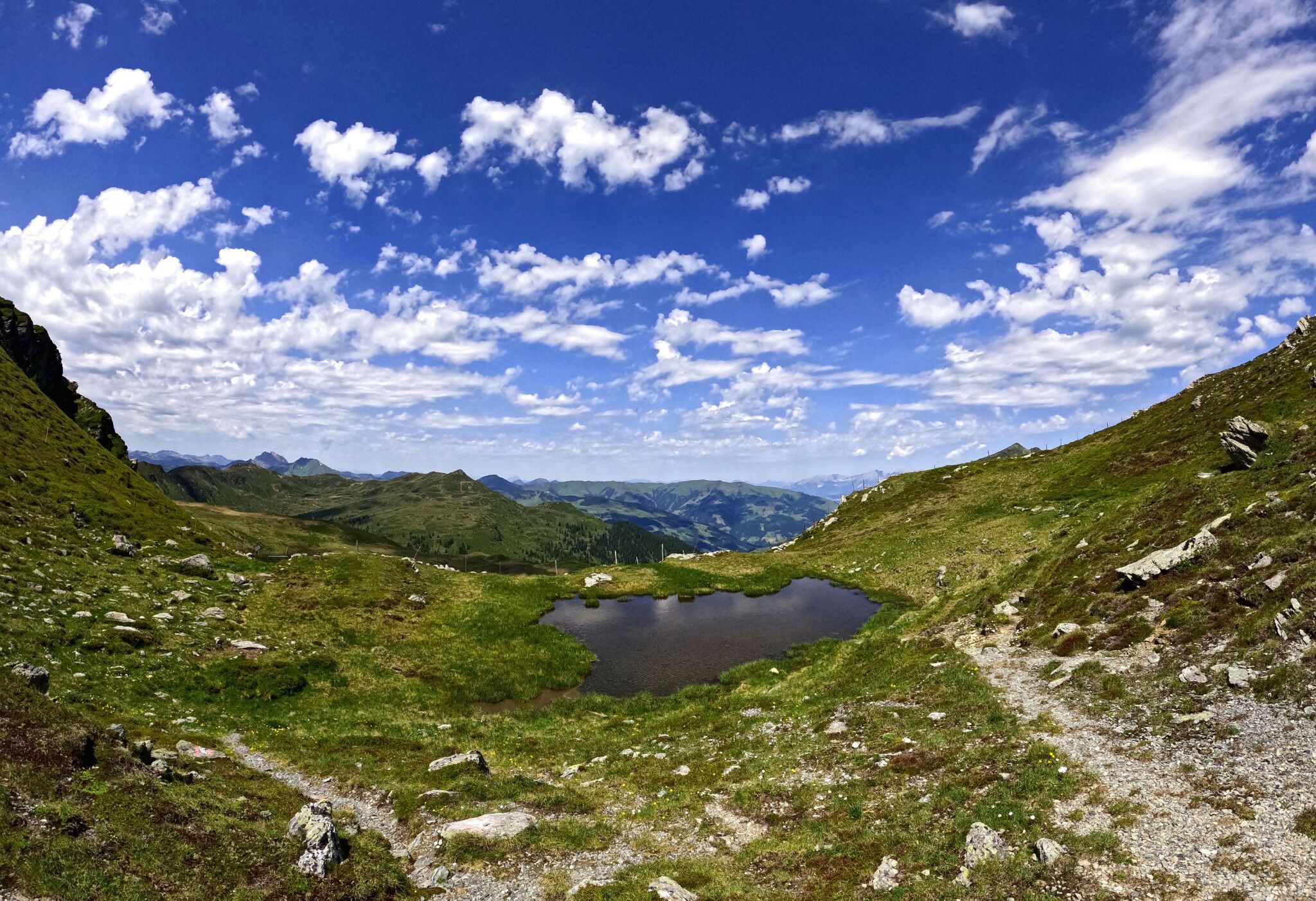
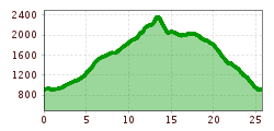
Starting in Jochberg, head south to the Sintersbacher Waterfall parking lot. From there, follow a beautiful, steadily ascending trail along the Sinterbach towards Sintersbach Hochalm. Pass the Sintersbacher Waterfall and continue into a high valley towards the Hochalm. Stay on the trails as you climb to Sintersbach ledge, following the marked path.
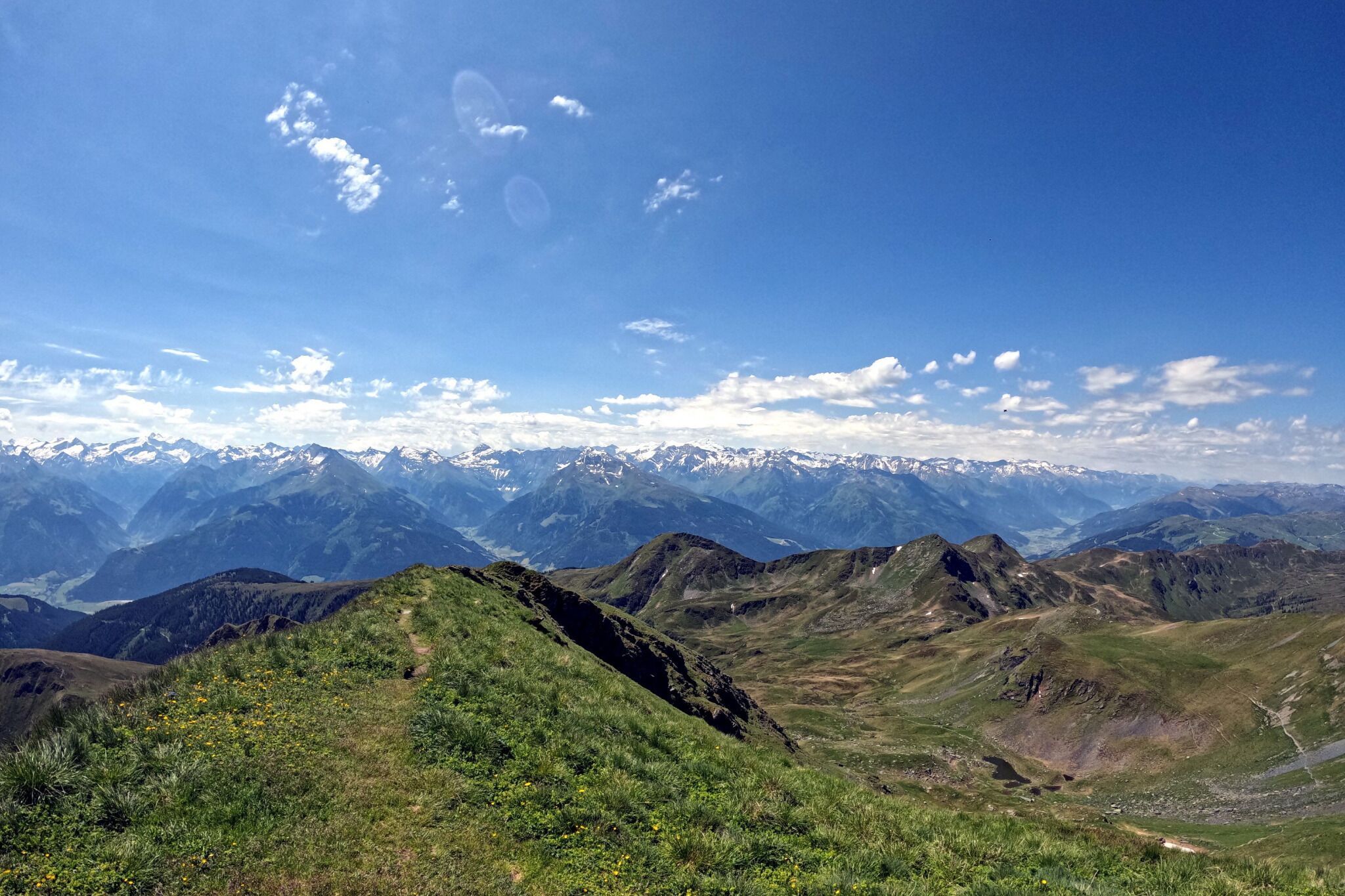
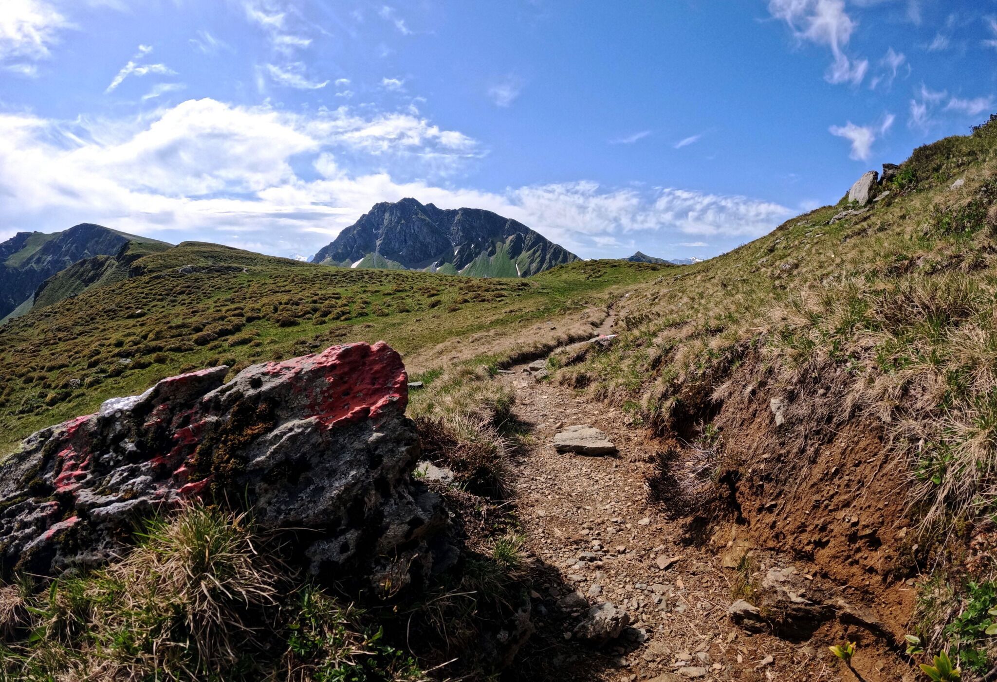
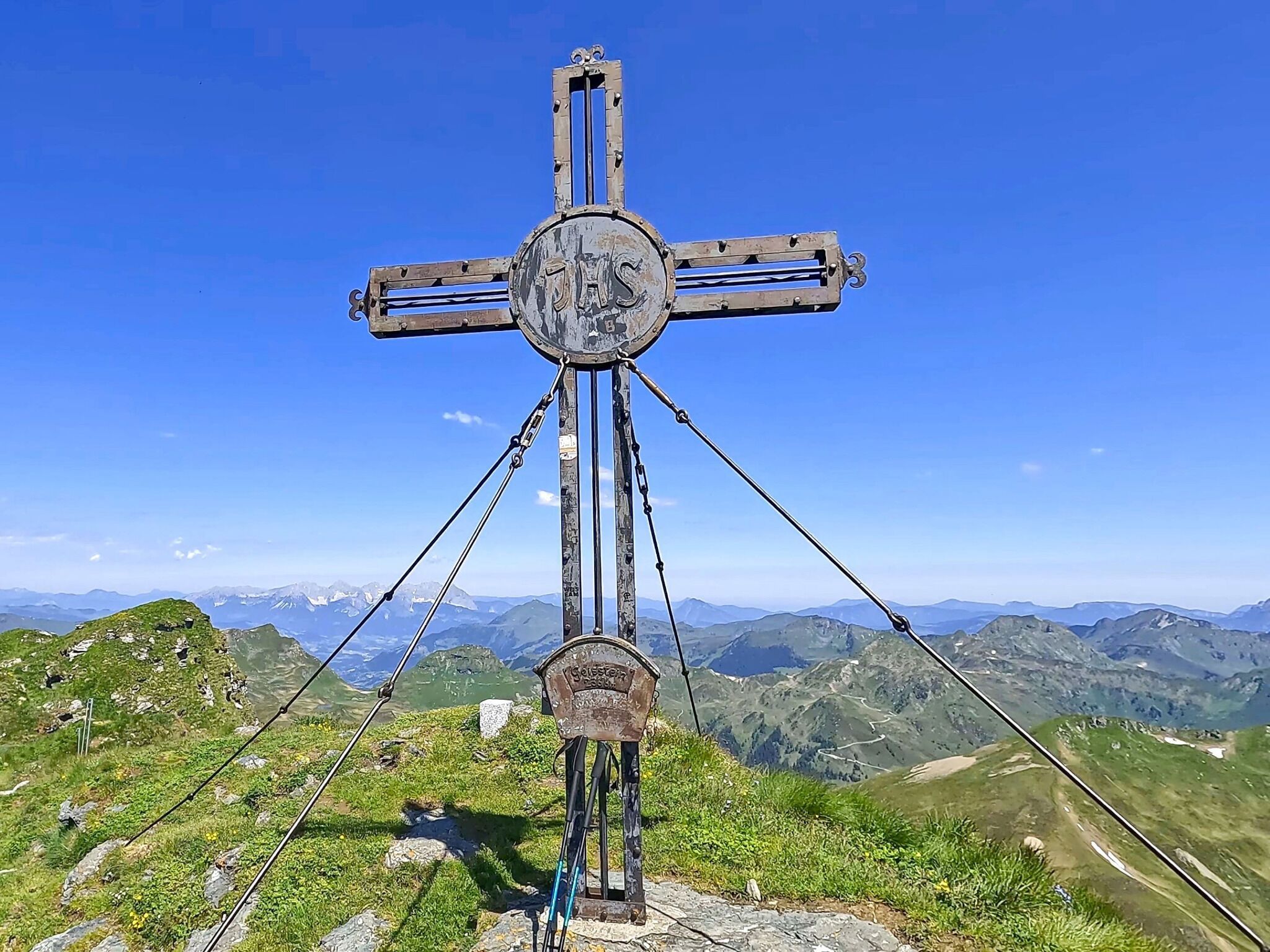
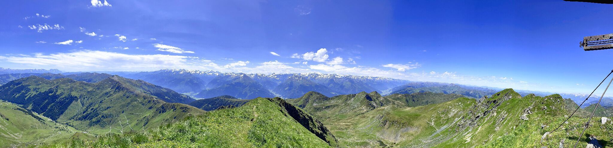
At the ledge, enjoy stunning views into Salzburg and to the left, the impressive Geisstein. The final ascent is challenging but rewards you with breathtaking panoramic views, especially towards the Hohe Tauern to the south. Descend from the peak via a steep hunter's path requiring sure-footedness, then continue towards Schlaberstatt and Schuster ledge on a pleasantly runnable trail. From the Ledge, head back down to the valley, keeping towards Jochberg. The trail brings you to within 500 meters of the starting point.
