Arrival by public transport
VVT line 770
Trailrun above the valley
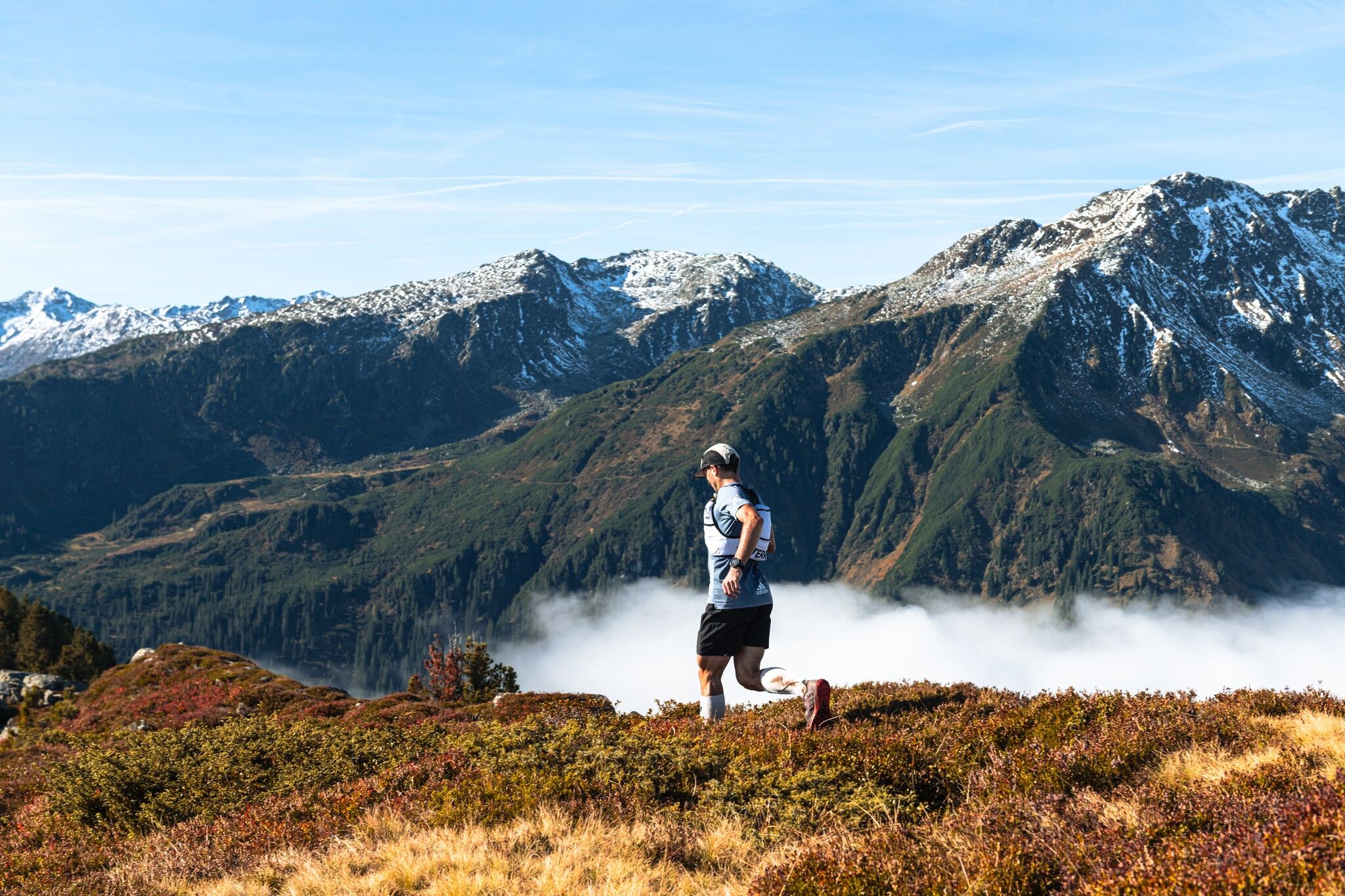
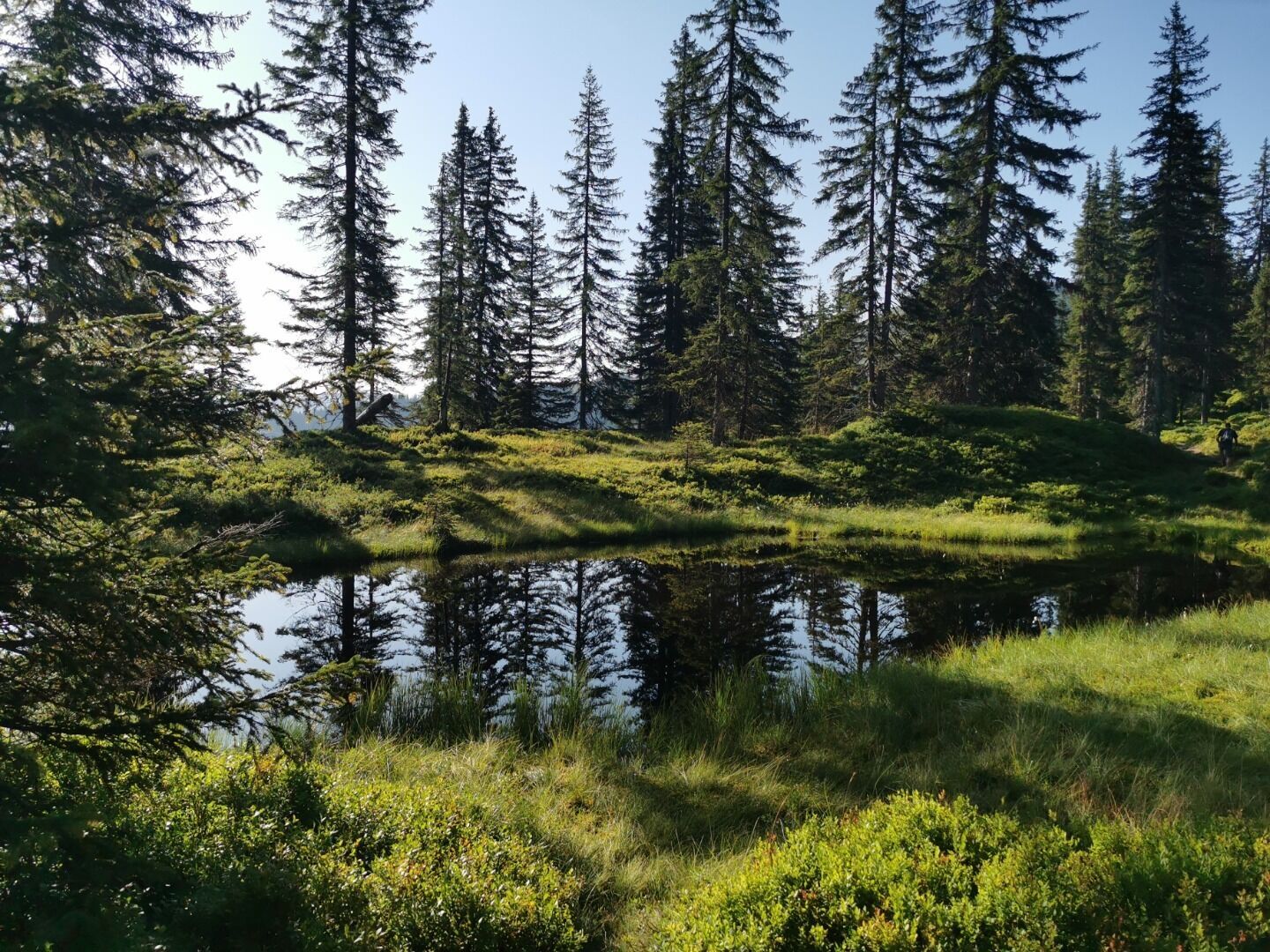

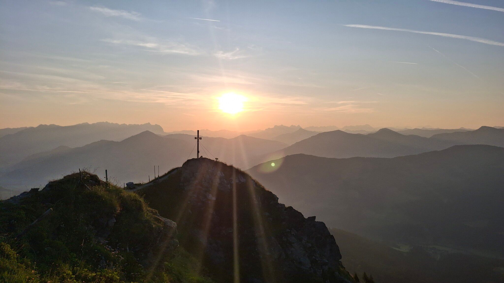
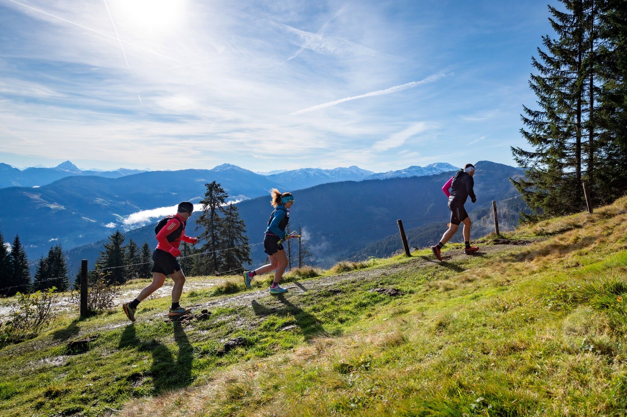
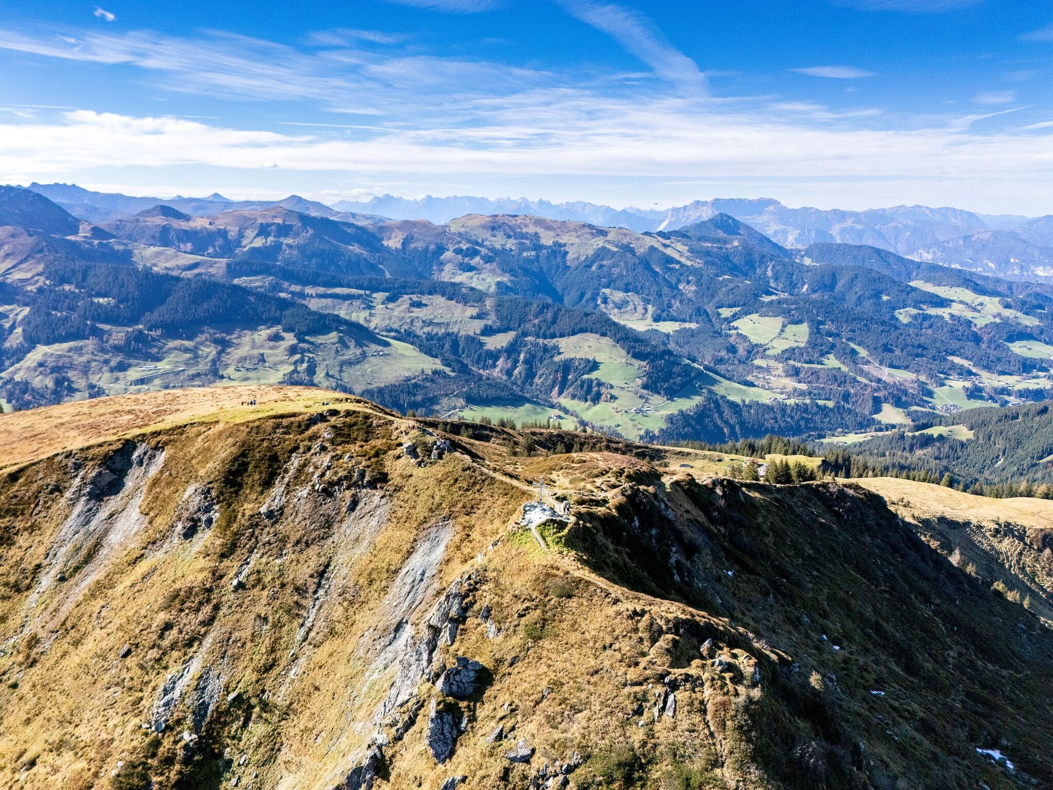
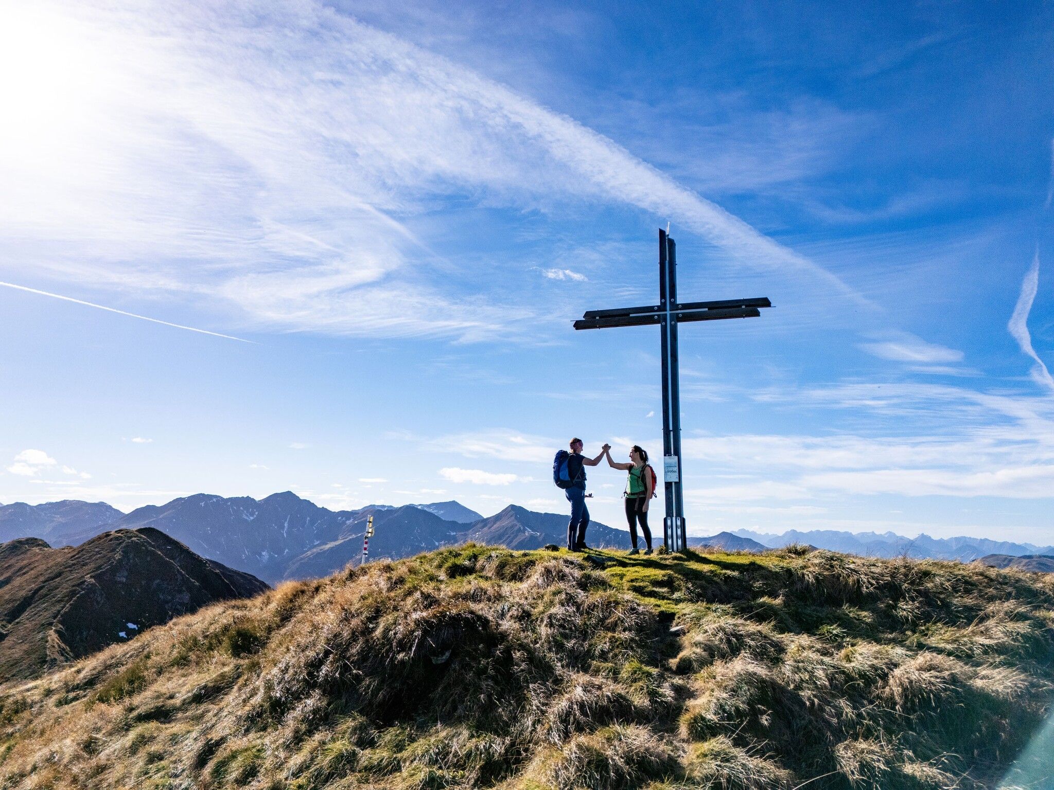
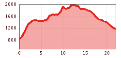
This route follows the signature "Wildschönau High Trail" hike. You can start either at the valley station or the mountain station of the Markbachjochbahn cable car. Starting at the valley station, the route climbs very steeply and almost directly from the parking lot for the first 650 meters of elevation gain to the mountain station. From the mountain station, the route continues along the high-altitude trail. The path leads past several alpine pastures and continues over the Feldalphorn, the Schwaigberghorn, the Breiteggern, and the Breiteggspitze. The character of this section is predominantly high-altitude and open. The downhill section leads towards the Schönanger Alm alpine pasture. The descent is mainly via the forest road. Alternatively, you can choose the Kastensteig trail, which is more technically challenging. From the Schönanger Alm, you can return to the starting point by hiking bus.
VVT line 770
Markbachjochbahn


")
.png")


 Andi Frank_TVB PillerseeTal (133).jpg")
