
Place:St. Leonhard im Pitztal
:Restaurant
Circular route Plangeroß
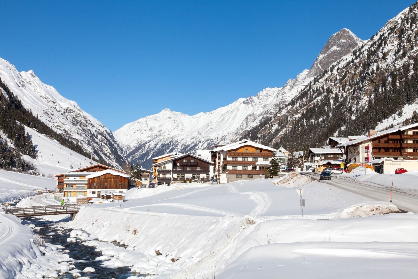
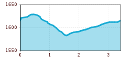
From the starting point (Plangeroß bus stop), walk past the Hotel Sonnblick in a southerly direction. After approx. 100 meters next to the main road, a groomed trail branches off to the left. This trail leads you above Plangeroß in a northerly direction. After crossing the country road, the hike leads to Weißwald to the Sport- & Vitalhotel Seppl, which is a good place to stop for refreshments. The way back is via the cross-country ski trail to just before Plangeroß, where you cross the Pitze via the so-called Pluisteg. Hike past Plangeroß on the right-hand side of the valley and cross the Pitze and the main road at a small forest. From there, head north back to the starting point, the Plangeroß bus stop.
Follow the L16 Pitztal Landstraße road to Plangeroß in the municipality of St. Leonhard.
Car park St.Leonhard Plangeroß


