
Opening hours:Today closed
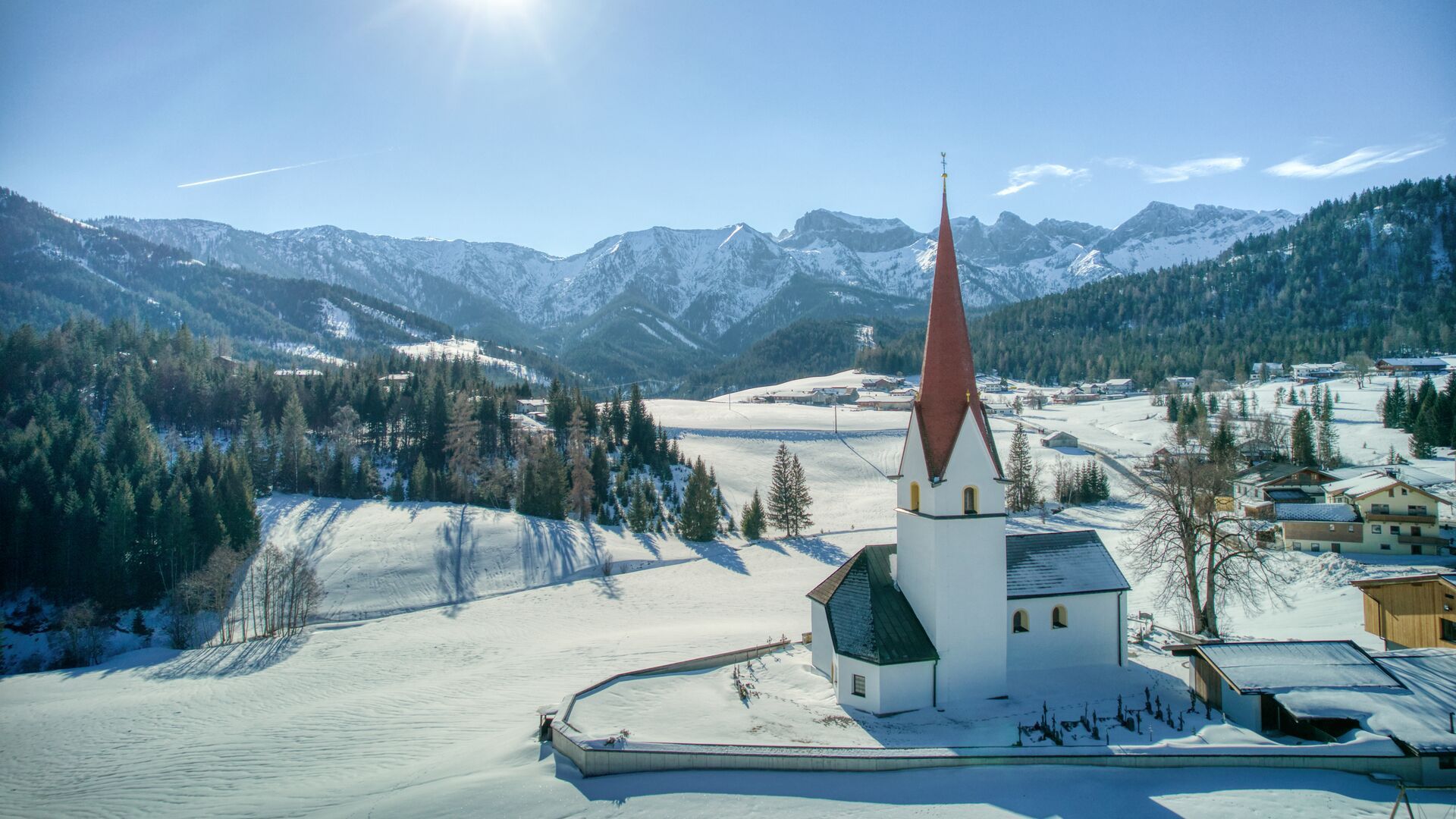
Place:Steinberg am Rofan
:Restaurant
Höfewanderung
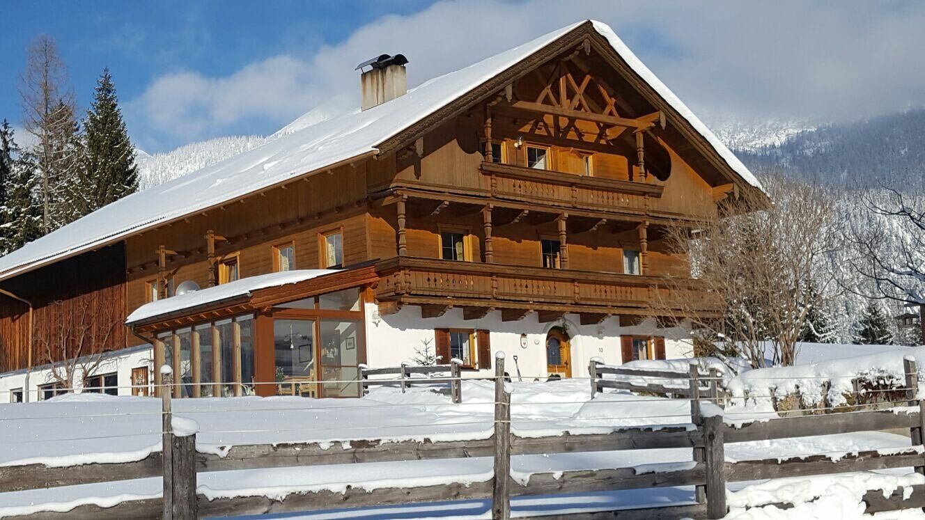
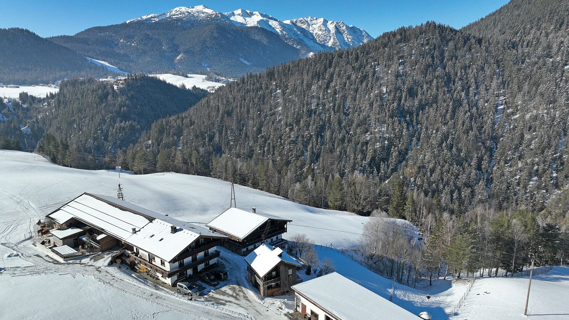
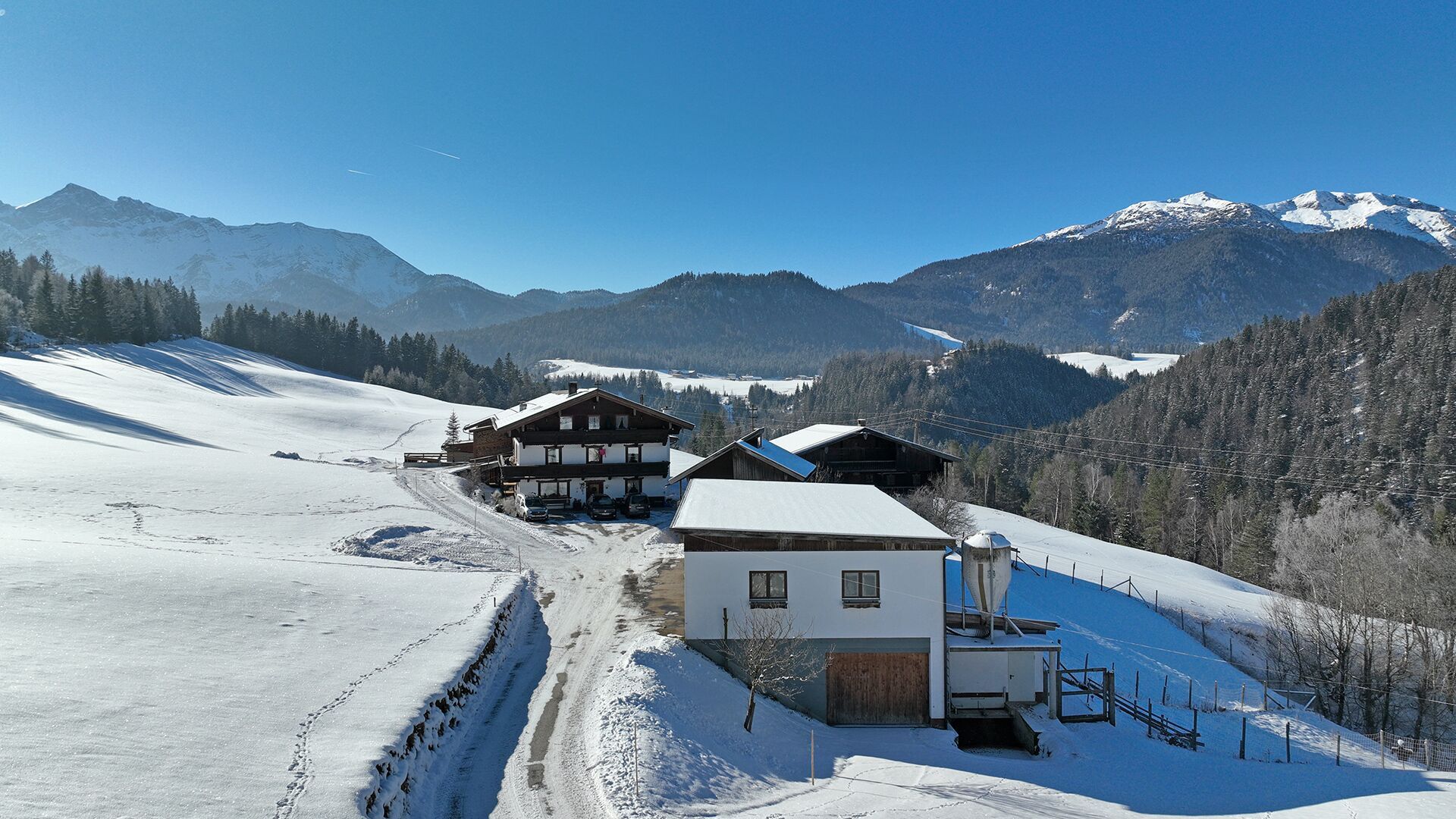
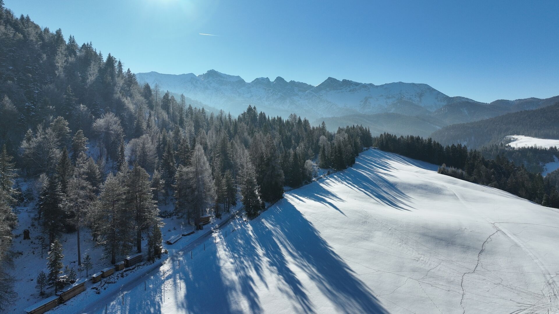
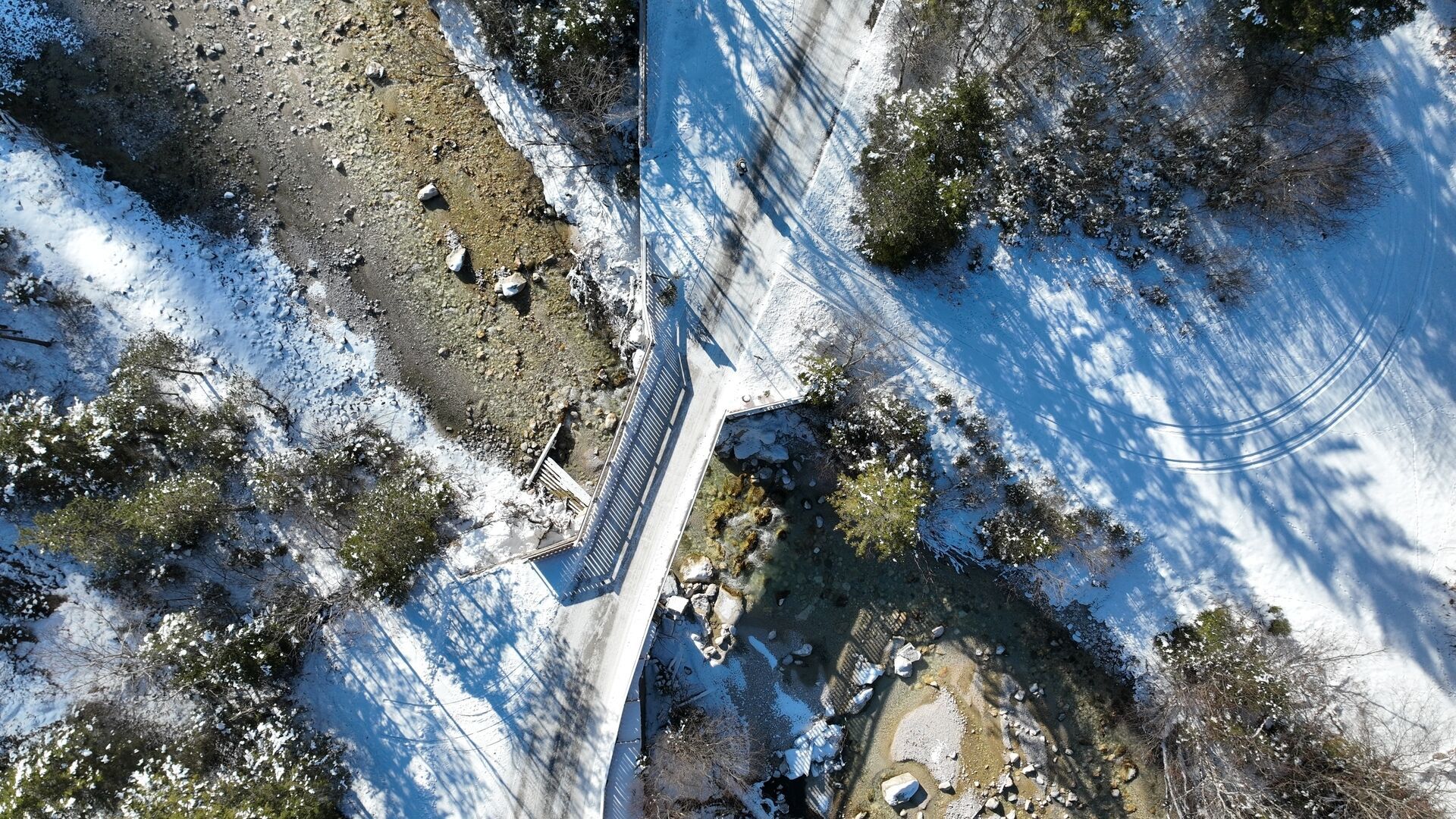
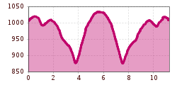
This tranquil, scenic hiking tour starts from the parish church. After the Dorfhaus, keep right and walk along the federal road below the Waldhäusl inn (for ca. 25 minutes). Turn right in the direction of Kaiserhaus/Pinegg. Follow the road, and at the next junction, turn right in the direction of Enterhof/Durrahof. The path descends via the Steinberger "Loch" to the Steinberger Ache. Walk across the bridge and follow the road upwards past the small farm shop of the Enterhof. Finally, you reach the Durrahof (from the Loch it is ca. 40 minutes’ walk to the Durrahof). The return is via the same route.
Exit bus stop: Steinberg a. R. Kirche
Car park Gemeindeamt Steinberg


.jpg")
 TVB Kitzbüheler Alpen-Brixental (7).jpg")


 Mirja Geh (26).jpg")


