

Opening hours:Open today
Place:Seefeld
:Alpine pasture / hut / mountain restaurant
Moderately difficult snowshoe hike to the Gschwandtkopf.
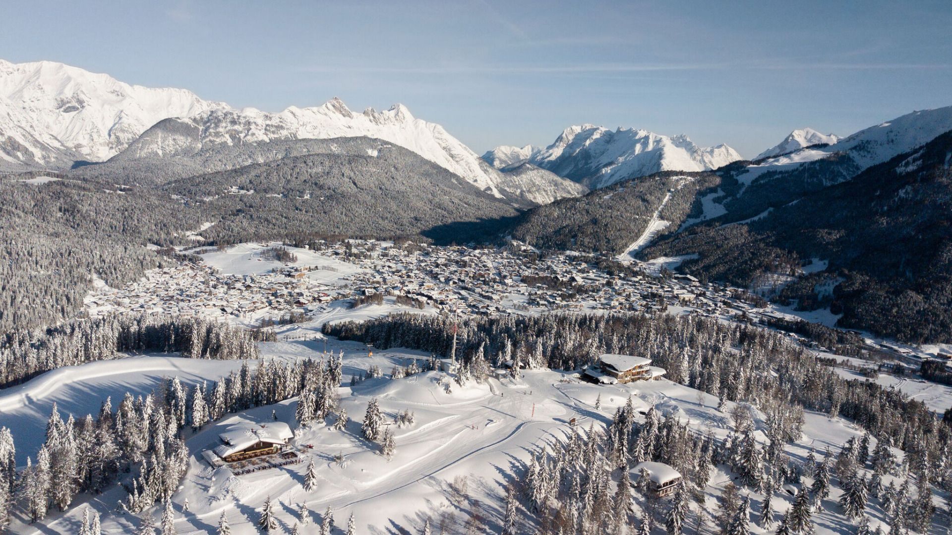
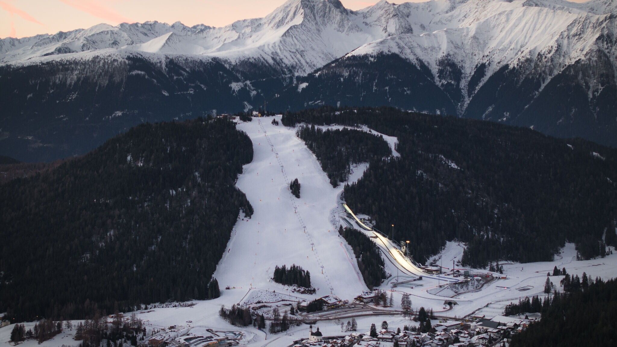

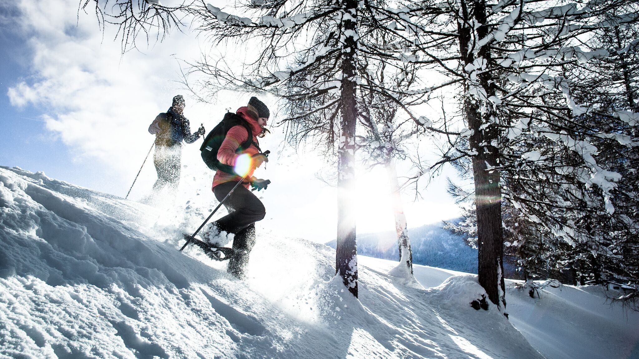
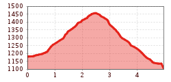
The route leads through open, unmarked terrain and is not maintained.
Good personal preparation and the right equipment are especially important for snowshoe hiking. Before starting the tour, it's essential to check the current avalanche report. Since the terrain is unmarked, downloading the GPX data for the route is recommended. Additionally, the SOS EU-ALP app, developed for mountain emergencies, is recommended.
Lightweight and stable snowshoes, adjusted to body weight. Telescopic poles for better grip and added stability. This equipment can be rented at numerous sports shops in the region.
Multiple layers of clothing, warm gloves, a hat, a waterproof jacket and pants, as well as winter hiking boots, are recommended.
The snowshoe hike starts at the Dorfplatz in Seefeld and initially leads leisurely to the idyllic Wildsee. The actual ascent begins at the transformer station by the lake: following trail no. 86, the route leads through the snowy winter forest up to the Gschwandtkopf.
Once at the top, a fantastic panoramic view awaits you. The Sonnenalm invites you to a well-deserved rest and a warming stop – ideal for enjoying the wintry atmosphere.
The descent takes you via the Gschwandtkopfmähder (no. 86) down to Auland through a quiet, deeply snow-covered winter landscape. On the way, you pass the Enzianhütte, the second refreshment stop along the trail. Continue to the "Auland Sagweg" bus stop, from where a convenient return trip by bus to the starting point in Seefeld is possible.
Take public transport to Seefeld Railway Station and walk 10 minutes to the starting point at Seefeld Village Square.
All real-time connections can be found in the route planner.
From Innsbruck, take the A12 Inntal Autobahn to the Seefeld/Garmisch exit, then continue over the Zirlerberg to Seefeld. From Landeck/Reschen, take the A12 to the Telfs Ost exit and then drive through Mösern to Seefeld. From Garmisch, drive via Mittenwald and Scharnitz to Seefeld.
In Seefeld, there is a large parking area at the roundabout on Münchner Straße. You can park at P8 Zentrum, which has an electric charging station.
Parking P8 Zentrum with electric charging station - Seefeld.
You can find all other car parks in Seefeld here.


