

Opening hours:Today closed
Place:Scharnitz
:Alpine pasture / hut / mountain restaurant
Moderately difficult snowshoe hike via the Isartseig and Nederweg.
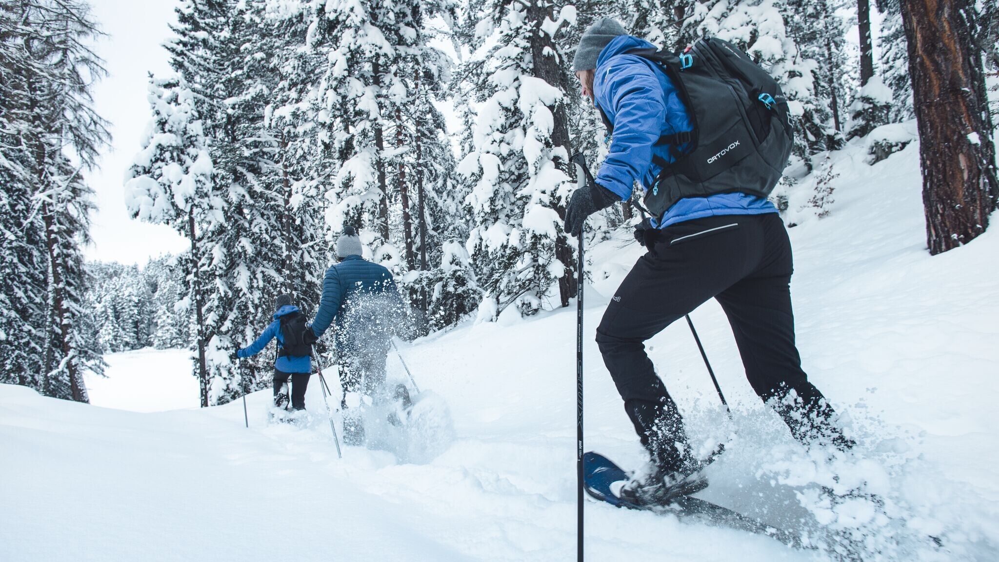
The route leads through open, unmarked terrain and is not maintained.
Good personal preparation and the right equipment are especially important for snowshoe hiking. Before starting the tour, it's essential to check the current avalanche report. Since the terrain is unmarked, downloading the GPX data for the route is recommended. Additionally, the SOS EU-ALP app, developed for mountain emergencies, is recommended.
Lightweight and stable snowshoes, adjusted to body weight. Telescopic poles for better grip and added stability. This equipment can be rented at numerous sports shops in the region.
Multiple layers of clothing, warm gloves, a hat, a waterproof jacket and pants, as well as winter hiking boots, are recommended.
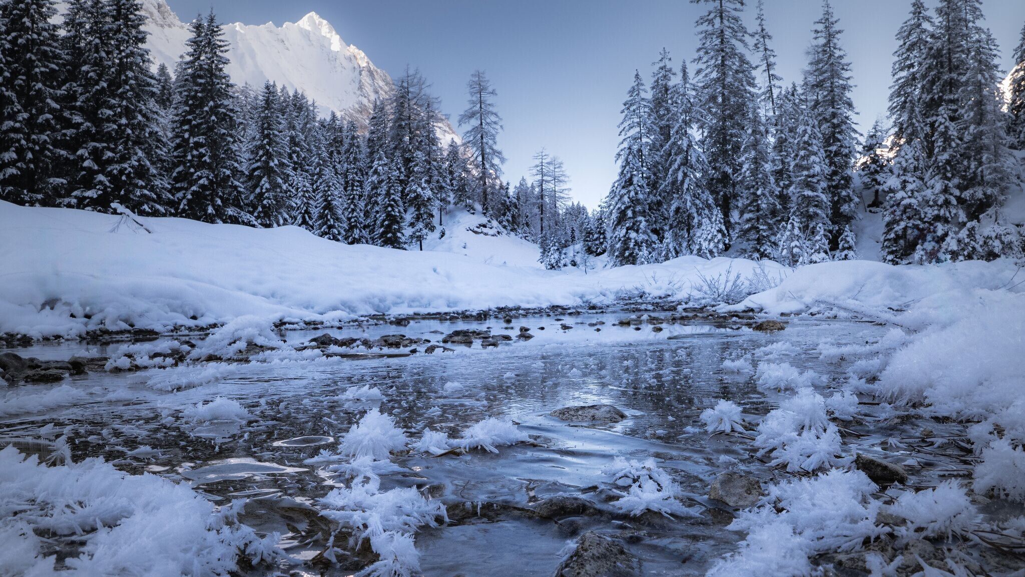
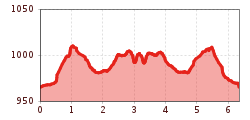
From the Nature Park Info Center in Scharnitz, the trail follows Hinterautalstraße over a small hill, past the Taxi Mair building, straight ahead to the junction with the Isarsteig on the right. The trail leads through beautifully snow-covered forests and along the Isar, which offers a picturesque backdrop, especially in winter. At the end of the Isarsteig, turn right onto the forest road, then continue along Nederweg to Scharnitzer Alm. From there, head further into the valley until you reach the turnoff for Isarlodge Wiesenhof.
The return route leads either back the same way or along Hinterautalstraße back to Scharnitz.
By train to Scharnitz train station, then a 10-minute walk to the starting point at the Nature Park Information Center.
All real-time connections can be found in the route planner.
From Innsbruck, take the A12 Inntalautobahn to the Seefeld/Garmisch exit, then continue over the Zirlerberg to Scharnitz. From Landeck/Reschen, take the A12 to the Telfs Ost exit, then drive through Mösern and Seefeld to Scharnitz. From Garmisch, pass through Mittenwald on the way to Scharnitz.
In Scharnitz, turn at the intersection to the Maria Hilf Parish Church and continue straight to the Nature Park Information Center Scharnitz. Park at the P2 'Karwendelparkplatz Länd' parking lot.
Parking P2 "Karwendelparkplatz Länd" - Scharnitz.
You can find all other car parks in Scharnitz here.


