

Opening hours:Today closed
Place:Galtür
:Restaurant, Alpine pasture / hut / mountain restaurant, café
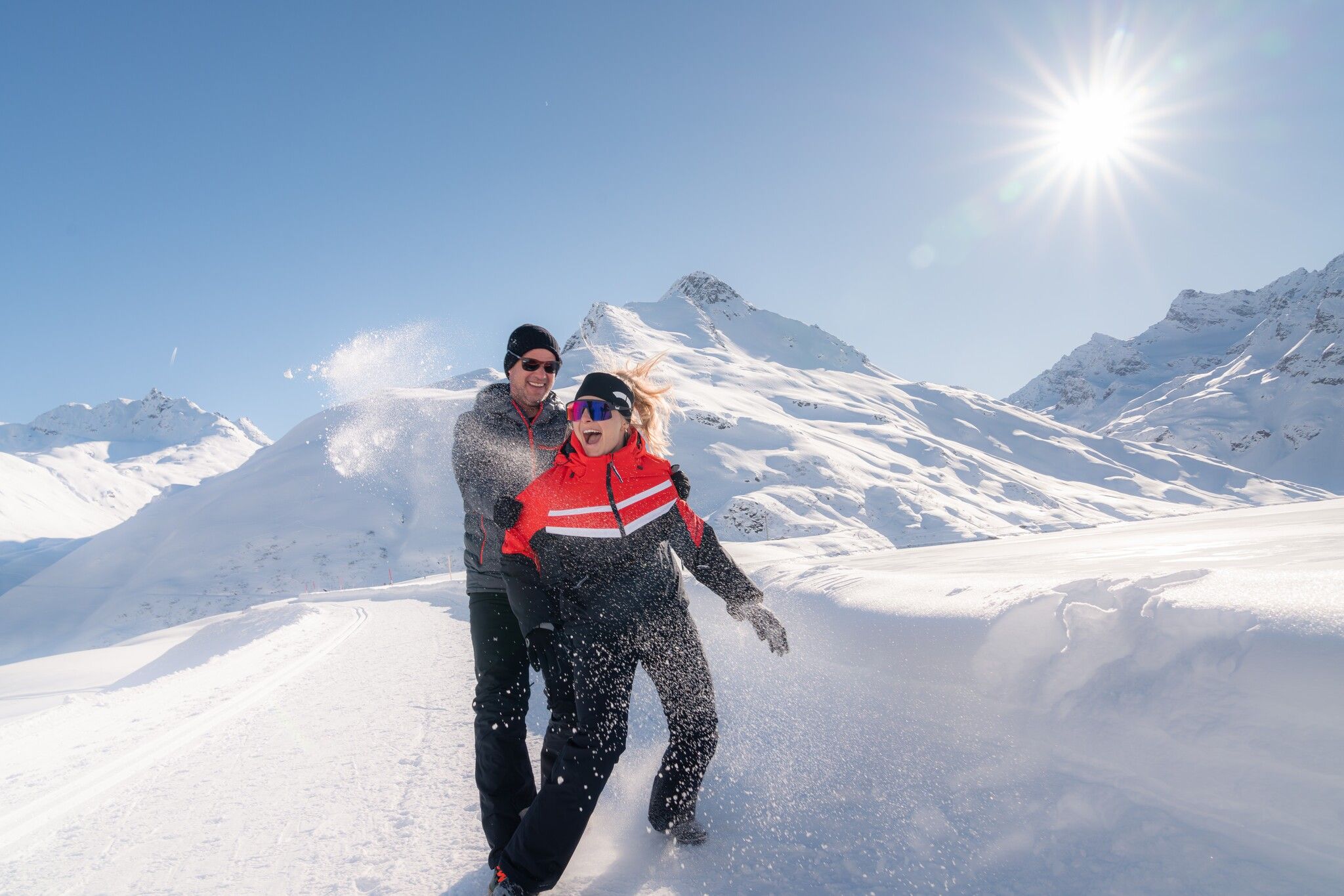
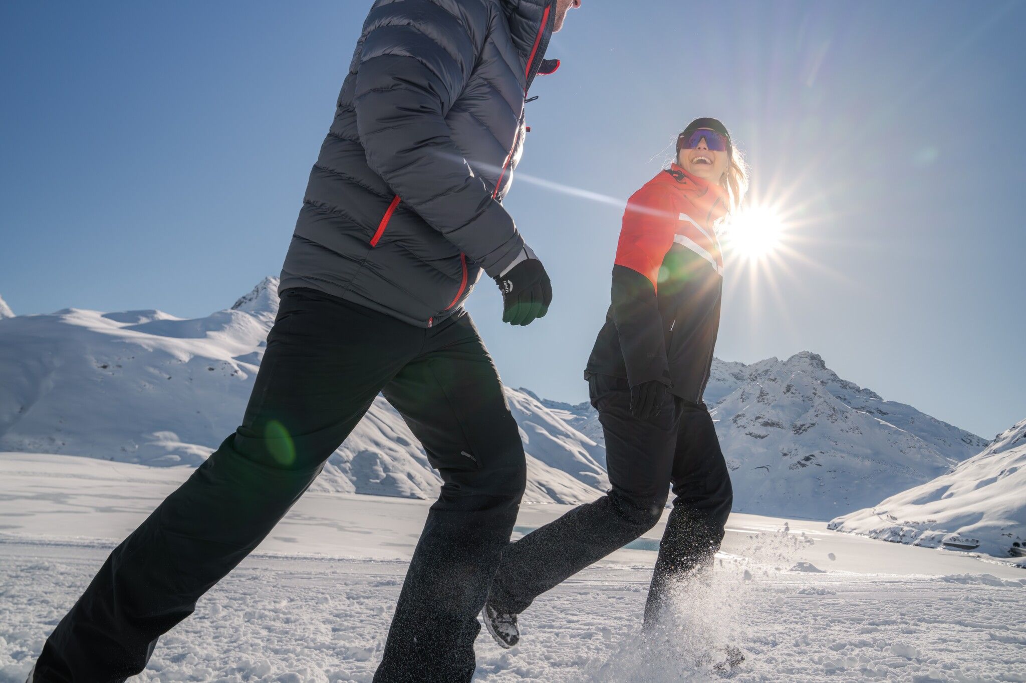
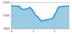
The circular trail along the Silvretta reservoir leads across the impressive dam and through the striking high-alpine landscape of the Silvretta. Surrounded by the highest mountains in Montafon and Vorarlberg, the route offers wide-ranging views of the surrounding peaks. Its special location on the Bielerhöhe and close proximity to the distinctive mountain scenery make the dam loop trail a varied nature experience in a high-alpine setting.
With the railway station in Landeck, the Paznaun is optimally connected to the Austrian train network. From Landeck-Zams station, only a short bus ride separates you from the Paznaun. Every half hour, line bus 260 runs from there through the valley. Bus stop: Galtür Wirl/Birkhahnbahn
Buses in the Paznaun valley | Region Paznaun – Ischgl


