
Opening hours:Open today
Place:Sölden
:Restaurant, Alpine pasture / hut / mountain restaurant
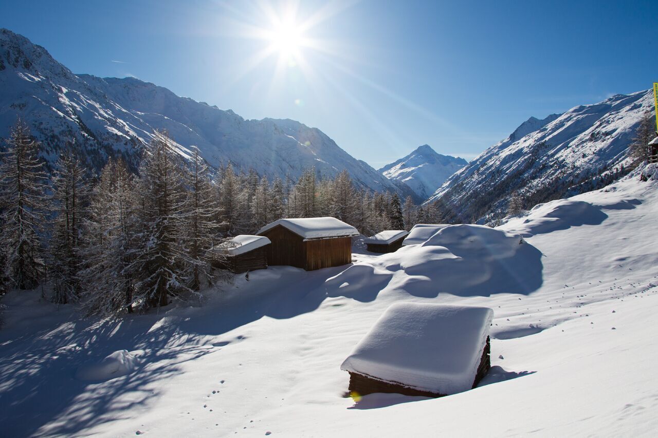
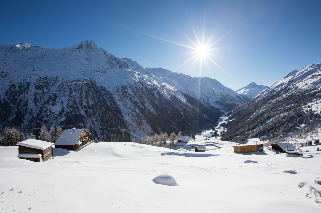
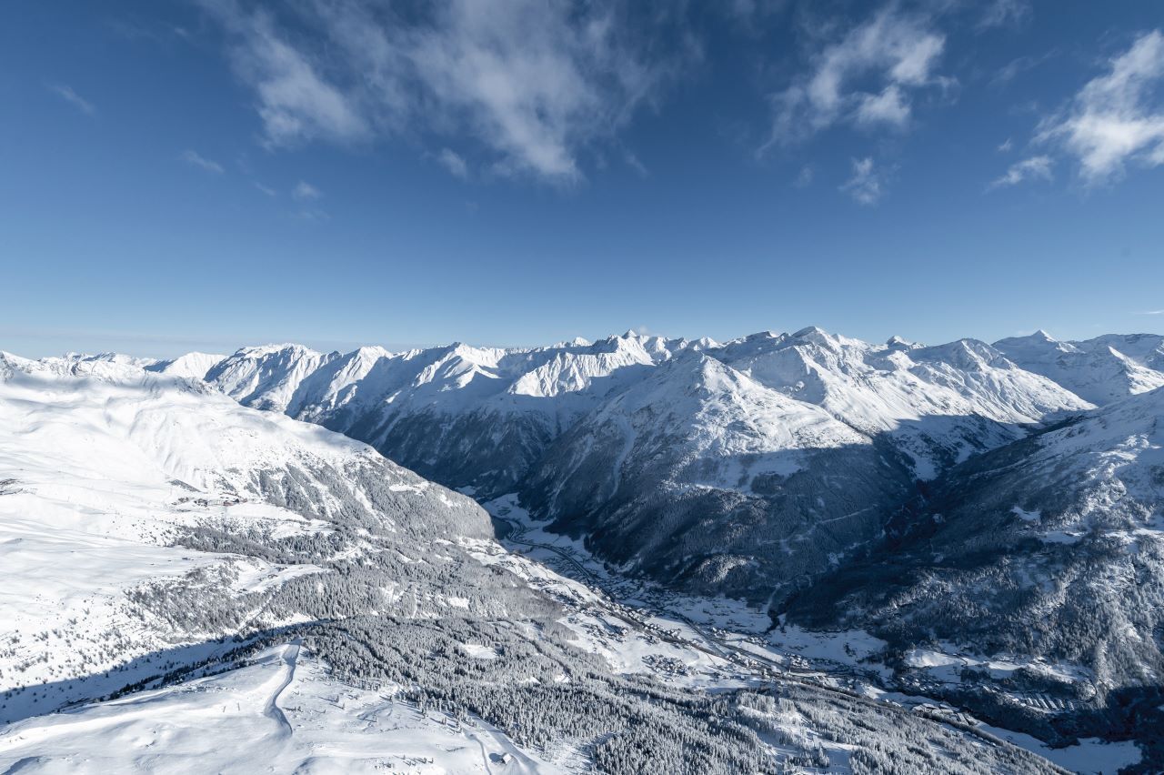
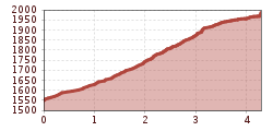
SÖLDEN /Stiegele --> Sonneck --> Gaislachalm --> Silbertal --> Gaislachalm --> Sonneck --> SÖLDEN/ Stiegele
Please inform yourself about the trail conditions and status of the respective path at Ötztal Tourism before starting the winter hiking trail.
Ötztal TourismT +43 (0) 57 200 200soelden@oetztal.com
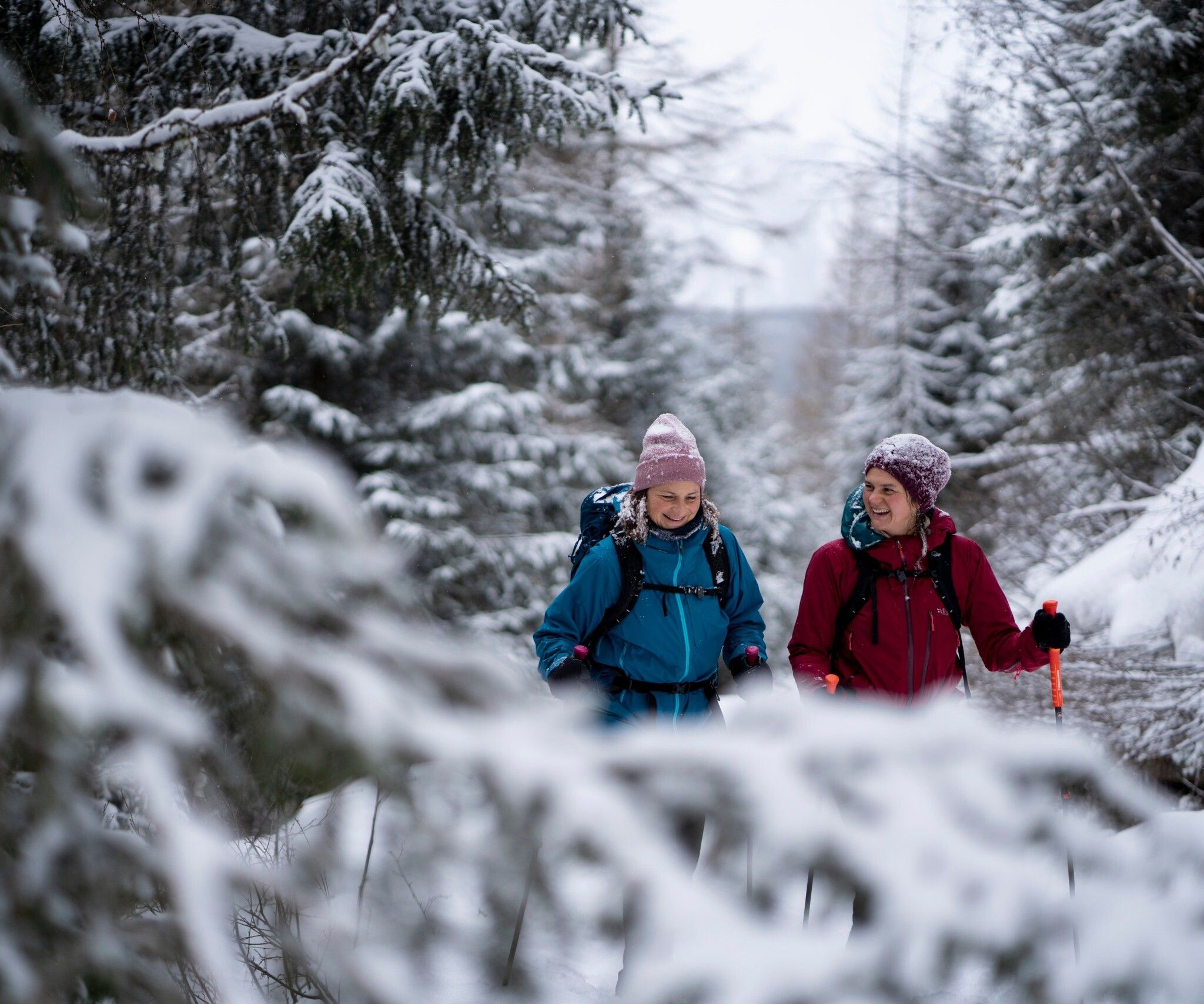
Appropriate equipment such as breathable and weather-appropriate outdoor clothing, ankle-high hiking boots, wind, rain, snow, and sun protection, hat and gloves, is required for all hikes and routes.
Carrying a first aid kit, a mobile phone and possibly a hiking map, as well as sufficient provisions for tours without refreshment opportunities is necessary.
You can start your hike to the Gaislachalms from the Stiegele parking lot, following the Gaislach/Hochsölden junction.
As an alternative starting point, take the Zentrum Shuttle and follow the Außerwaldstraße towards Innerwald. Via the Innerwaldstraße, you reach directly the district of Infang, where you can begin your hike.
Initially, you pass the guesthouse Sonneck, from where the path continues on a flat forest road to the Gaislachalm. Then it continues into the Silbertal valley.
From above, you enjoy a breathtaking view of the Ventertal valley.
Travel comfortably and safely by train to the ÖTZTAL station. The final stop or exit point is ÖTZTAL station. Afterwards, you can travel conveniently and quickly with public transport or local taxi companies through the entire valley to your desired destination.
The current bus timetable is available at: fahrplan.vvt.at
You can park directly at the
.
The parking spaces are subject to a fee.


