
Opening hours:Open today
Place:Ochsengarten
:Restaurant
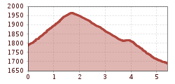
MARSTEIN-> SATTELE
Appropriate equipment such as breathable and weather-appropriate outdoor clothing, wind, rain, snow and sun protection, hat and gloves, is required for all hikes and routes. Carrying a first aid kit, a mobile phone and possibly a map, as well as sufficient provisions for tours without dining options, is necessary.
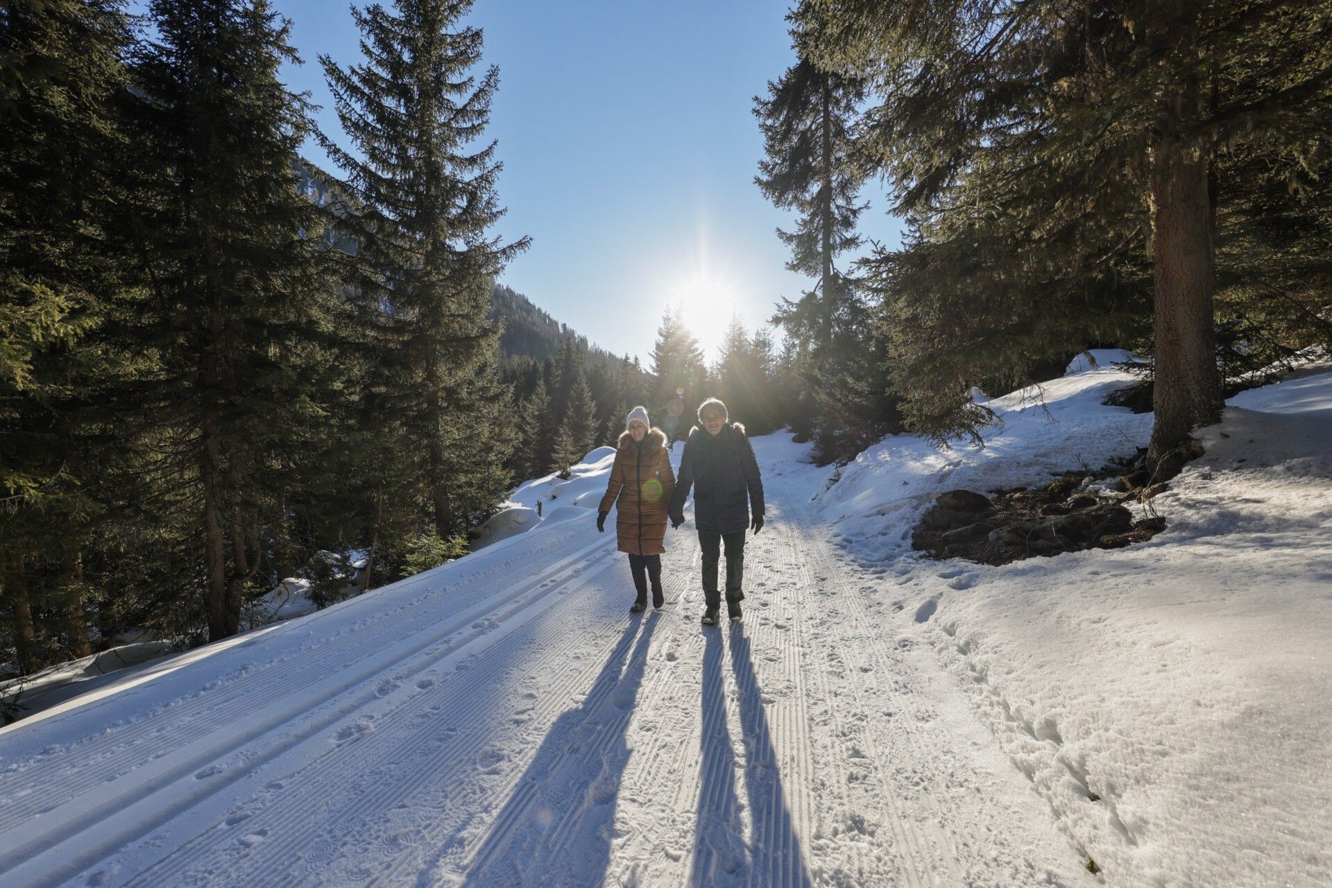
The starting point of this winter hike is Marlstein. The marked path leads upwards to a junction where you turn left and head to Sattele.
Travel comfortably and safely by train to Ötztal station. At the station, you will find public transport or local taxi companies who will gladly take you to your desired destination! The current bus schedule is available at: fahrplan.vvt.at
The following parking options are available:
Parking lot at Sattele (via Ochsengarten)
Chargeable: €4 / day


 Mirja Geh (26).jpg")


.jpg")

 TVB Kitzbüheler Alpen-Brixental (7).jpg")


.jpg")
.jpg")


.jpg")
