Hikes in Brixen im Thale
Map

Show
on mapKandleralm - Brixenbachalm
on mapKandleralm - Brixenbachalm
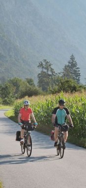
Alpine hikes
Starting point: Tourist information centre, Brixen im Thale
Length: 8km
Elevation uphill: 350m
Total hiking time: 2 h 30 min
Difficulty rating: intermediate (red mountain trails)

Show
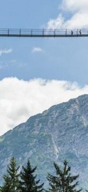
on mapKAT Walk Family
on mapKAT Walk Family
Long Distance Path
Starting point: Top of Salvenbahn I cable car, Hopfgarten
Length: 85km
Elevation uphill: 4,900m
Duration: 5 day(s)
Difficulty rating: intermediate (red mountain trails)
Brixen im Thale: Hikes in the region

St. Ulrich am Pillersee
Solitude. Peace and quiet. Walking promotes a healthy mind, body and soul…

Kitzbühel
Covering 20,000 square metres and featuring more than 300 different plant…

St. Johann in Tirol
All those who believe that no good meal is complete without a fine wine…