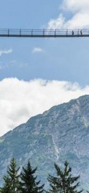
Hikes in Galtür
Map

Show
on mapAlpe Vermunt
on mapAlpe Vermunt
Alpine hikes
Starting point: Alpe Vermunt
Length: 6km
Elevation uphill: 250m
Total hiking time: 1 h 30 min
Difficulty rating: easy (hiking trails)

Show
on mapGaltür – Jamtalhütte – Dreiländerspitze
on mapGaltür – Jamtalhütte – Dreiländerspitze
Starting point: Galtür
Length: 32km
Elevation uphill: 1,665m
Difficulty rating: difficult (black trails)

Show
on mapJamtalhütte
on mapJamtalhütte
Mountain hikes
Starting point: Galtür, church
Length: 20km
Elevation uphill: 651m
Total hiking time: 6 h 30 min
Difficulty rating: intermediate (red mountain trails)

Show
on mapRauher Kopf (2.478 m)
on mapRauher Kopf (2.478 m)
Summit hikes
Starting point: Mathon
Length: 9km
Elevation uphill: 1,100m
Total hiking time: 7h
Difficulty rating: intermediate (red mountain trails)

Show
on mapWiesbadener Hütte
on mapWiesbadener Hütte
Mountain hikes
Starting point: Bielerhöhe / Galtür
Length: 15km
Elevation uphill: 680m
Total hiking time: 5 h 15 min
Difficulty rating: intermediate (red mountain trails)
Galtür: Hikes in the region

Ischgl
This idyllic hike suitable for families with children leads through…

Kappl
Located in the heart of the Samnaun Alps, the Grübelesee is a crystal-clear…

Kappl
This bike & hike adventure of intermediate difficulty leads up onto the…