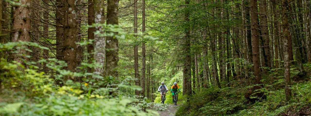
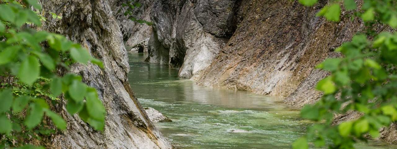
This mountain bike ride leads around the Guffertspitze peak in the Rofan Mountains, part of the Brandenberg Alps, all the way to one of the most beautiful spots anywhere in Tirol. Along the way there are plenty of places where riders can dip their feet in cool water. Leaving from the Kaiserklamm gorge near Aschau, the ride leads 40 kilometres and 1,000 vertical metres up to the Gufferthütte hut. The terrain is a mix of tarmac roads and forest trails along the banks of the Brandenberger Ache river, through idyllic forests and across lush meadows.


Mountain Bike Ride
Starting point
Kaiserhaus in Aschau
Hike to
Gufferthütte (Ludwig-Aschenbrenner-Hütte)
Finishing point
Kaiserhaus in Aschau
Mountain chain
Brandenberg Alps (Rofan)
Length
41.4 km
Riding time
4 h 30 min
Features
- Circular route
- Handicap-accessible
- Route with e-bike charging station
Difficulty rating
medium
Altitude
Elevation uphill 1,066m
Vertical metres downhill 1,066m
Fitness level
Technique
Best time of year
* These are approximate values and recommendations. Please take your personal fitness level, technical ability and the current weather conditions into account. Tirol Werbung cannot guarantee that the information provided is correct and accepts no liability.
Parking
Car park at the Kaiserklamm gorge
Places serving food & drink
- Kaiserhaus in Aschau
- Gasthaus Gwercherwirt in Pinneg
- Haus Ausserberg in Steinberg
- Various locations in Steinberg am Rofan
- Gufferthütte (Ludwig-Aschenbrenner-Hütte)
Downloads
Trail description
This ride begins at the "Kaiserhaus" building next to the Kaiserklamm gorge. Head along the road following route 465 and the Brandenberger Ache river in a south-westerly direction. At the turning near Pinneg, go right onto the up-and-down route to Steinberg am Rofan. There, switch to the main road, ride past the Obringermoos-Alm hut (at the foot of the Grünkopf mountain), all the way to the Köglboden car park. It is here that the climb to the Gufferthütte hut begins. Take the forest road along routes 464 and 465 up to the Gufferthütte hut. From the hut, descend 300 metres back along the way you came, then turn left and head back in an easterly direction towards the "Kaiserhaus" building. The trail leads downhill along route 465 to the Brandenberger Ache river. After crossing the bridge, turn right and follow the banks of the river in a southerly direction. A short uphill section near the Kaiserklamm gorge is followed by a short descent to the "Kaiserhaus" building on the left.


