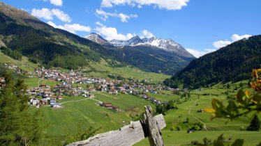
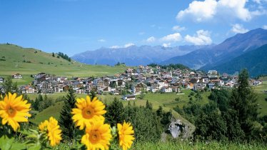
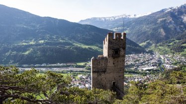
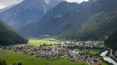
Leaving from the village of Serfaus high above the Upper Inn Valley, this mountian bike ride leads into the idyllic Paznaun Valley and the equally beautiful Fimbertal Valley over the border into Switzerland. It is made up of four stages and gives riders the opportunity to visit several different mountain ranges. Part of the route leads along the historic Via Claudia Augusta, an ancient Roman road. With round about 4000 vertical metres and 142 kilometres from start to finish, it is ideal for fit riders and e-bike enthusiasts. There are several places serving food and drink along the way as well as a number of charging points for e-bikes.


Four-Day Mountain Bike Ride
Starting point
Serfaus
Finishing point
Serfaus
Mountain chain
Silvretta Alps
Sesvenna Alps
Ötztal Alps
Samnaun Mountains
Length
141.9 km
Duration
4 day(s)
Features
- Circular route
- Handicap-accessible
- Route with e-bike charging station
Stage 1
Intersport Pregenzer Fiss, Seilbahnstraße 42, Fiss (rental shop)
Boutique Apartment Sonnenhang, Eichholz 352a, Fließ
Sport Camp Tirol, Mühlkanal 1, Landeck
Sport Narr, Au 178, See (rental shop)
Intersport Ladner, Dorf 112, Kappl (rental shop)
Stage 2
Intersport Bründl, Dorfstraße 64, Ischgl (rental shop)
Mirabell Hotel Garni, Trisannaweg 12, Ischgl
Ischgl Rent, Dorfstraße 52, Ischgl (rental shop)
Heidelberger Hütte
Stage 3
Hotel Post, Nauders
Stage 4
Camping Via Claudiasee (Bike Energy charging station)
Restaurant Madatschen
Difficulty rating
difficult
Altitude
Elevation uphill 4,140m
Vertical metres downhill 4,150m
Fitness level
Technique
Best time of year
* These are approximate values and recommendations. Please take your personal fitness level, technical ability and the current weather conditions into account. Tirol Werbung cannot guarantee that the information provided is correct and accepts no liability.
Parking
Serfaus
Parking at the eastern end of the village (next to underground railway station)
Kappl
Parking at the bottom of the Diasbahn cable car, Kappl
Parking deck at Bäckerei Wechner (building number 300, free)
Nauders
Parking at the ice rink in Grudanatsch, Doktor-Tschiggfrey-Straße
Parking at the bottom of the Bergkastelbahn cable car
Places serving food & drink
Various locations in the villages along the route
Downloads
Trail description
Day 1: Serfaus - Kappl
Uphill/downhill: 1,418/1,589 vertical metres, distance: 49 kilometres, highest point: 1,533 metres, difficulty: difficult
Leaving from Serfaus, the first stage of this circular ride heads north along route 761 to Fiss. Take the Latschthayaweg road through the village and, at the point where the road crosses the Pahlweg, turn right onto route 732. This continues for around 1.7 kilometres along a dirt track to the Falterjöchl and then downhill through the forest, past the Sauerbrunn-Quelle water source and the Pension Obladis before heading past the Waldkapelle chapel, the Wodesee lake and the Apart-Pension Neuegg building. After 8.8 kilometres riders cross the Urgtal Valley and the route leads via Hochgallmigg near Fließ into the Inn Valley. In Urgen stay on the southern side of the Inn and follow the river first on an asphalt road and after 1.2 kilometres on a forest road to Landeck. There the road merges into the Herzog-Friedrich-Straße. Follow this road and turn left in the Perfuchs district towards Perfuchsberg. After 950 meters on route 791, change to the main road and ride about 4.2 kilometers and more than 280 metres of altitude difference uphill to Tobadill. This is followed by the ascent to Giggl, where a narrow forest trail begins. This leads downhill through woodland to Frödenegg. From there the last 12 kilometres are into the Paznaun Valley, past the village of See, to Kappl.
Day 2: Kappl – Heidelberger Hütte
Uphill/downhill: 1,929/893 vertical metres, distance: 22.9 kilometres, highest point: 2,270 metres, difficulty: difficult
In Kappl the second stage starts on route 738 and later on route 741 through the Paznaun Valley heading west. After 3.6 kilometres continue straight ahead on the forest path and cycle on parallel to the Trisanna river, past the Luis Diner restaurant. At the hamlet of Ebene the route returns to an asphalted road which continues for about 3 kilometres through fields and small hamlets to Ischgl. In Ischgl, take the Eggerweg road south and follow route 7074 south into the forest through the Fimbatal Valley. Follow the forest path up to the middle station of the Fimbabahn and Silvrettabahn cable cars. There, cross the Fimba stream on a small bridge and cycle straight on to the Schwarzwassersee lake and Pardatscher See lake. After a further 2.9 kilometres and 140 metres of altitude gain, the Berggasthof Bodenalpe inn appears. Then continue uphill past the Gampenbahn and the Gampenalpe. Shortly after the Gampen Alp the Zeblastrail begins. After five kilometres the Swiss border is crossed. From here it is 2.4 kilometres and 138 metres in altitude to the Heidelberger Hütte.
Day 3: Heidelberger Hütte – Nauders
Uphill/downhill: 2,034/2,954 vertical metres, distance: 36 kilometres, highest point: 2,615 metres, difficulty: difficult
From the Heidelberger Hütte, push the bike southeast to the Fimber pass at more than 2,600 metres above sea level. There then follows a challenging descent in a south-easterly direction into the valley. Cycle on the wide forest path through mountain meadows and along the Aua Chöglias stream towards Val Sinestra. Shortly afterwards you pass Vnà and continue downhill to the bottom of the Engadine valley. Shortly after the hamlet of Ramosch in Valsot, the route runs for about 5.7 kilometres, partly on the main road, partly parallel to the main road on a forest path to the village of Strada - always following the Inn river. About one kilometre northeast of Strada there is a bridge over the Inn. Cross the river here and change to route 7042. On a winding gravel road the route now climbs uphill through woodland and over the Austrian border. The circular hiking trail onto the Großer Mutzkopf mountain then leads through the Martawald forest, past the Mösle-Teich pond to Norbertshöhe. From there, the last two kilometres are slightly downhill on an asphalt road to the finish in the centre of Nauders.
Day 4: Nauders - Serfaus
Uphill/downhill: 1,826/1,762 vertical metres, distance: 33.9 kilometres, highest point: 1,443 metres, difficulty: intermediate
The final stage leads from the village centre in Nauders along an asphalt road back to Norbertshöhe . Then ride on the winding Martinsbrucker Pass road downhill over the Swiss border to Martina. When you reach the Inn river, turn right and cycle along the main road following the border and the river for 5.4 kilometres to Altfinstermünz and back to Austria. Shortly before Altfinstermünz turn right from the main road onto the old Roman road Via Claudia Augusta. Then continue on steadily sloping terrain through the hamlet of Schalkl and past the Fischeralm on the other side of the Inn river towards Pfunds. After 3.7 kilometres cross the Inn river on the Kajetansbrücke bridge and follow the path for seven kilometres to Pfunds and continue through fields to Mariastein. In front of the large building yard cross the Inn river again and follow the Oberinntalstraße road towards Tösens. Before you reach Tösens, after about 2.9 kilometres, in the hamlet of Tschupbach, route 763 leads left up the mountain, past the turn-off to Madatschen, and finally back to the starting point in Serfaus.


