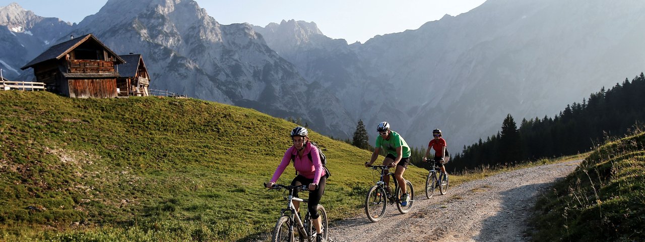
This mountain bike ride in the Karwendel Mountains takes in not one, not two but three huts: the Hinterhornalm at 1,522 metres, the Walder Alm at 1,500 metres and the Ganalm at 1,190 metres. Plenty of choice, then, when it comes to food and drink en route! The ride leads through the Karwendel Nature Park, the largest nature park in Austria, and offers fabulous views of the Inn Valley throughout.


Mountain Bike Ride
Starting point
Car park at bottom of toll road to Hinterhornalm, Gnadenwald
Hike to
Hinterhornalm, Walder Alm, Ganalm
Finishing point
Car park at bottom of toll road to Hinterhornalm, Gnadenwald
Mountain chain
Karwendel Mountains
Length
23.8 km
Riding time
3h
Features
- Circular route
- Handicap-accessible
- Route with e-bike charging station
Difficulty rating
difficult
Altitude
Elevation uphill 800m
Vertical metres downhill 800m
Fitness level
Technique
Best time of year
* These are approximate values and recommendations. Please take your personal fitness level, technical ability and the current weather conditions into account. Tirol Werbung cannot guarantee that the information provided is correct and accepts no liability.
Parking
Free parking at the bottom of the toll road up to the Hinterhornalm hut
Places serving food & drink
- Hinterhornalm
- Walder Alm
- Ganalm
- Various locations in Gnadenwald
Downloads
Trail description
From the car park at the bottom of the toll road leading up to the Hinterhornalm hut, take this steep and twisting road heading in a north-easterly direction all the way up to the Hinterhornalm hut. There, the tarmac road ends and merges with a dirt trail. Follow this in an easterly direction. At the first point where the trails cross, head straight on. At the second crossing, turn left to the Walder Alm hut. Then follow route 408 to the Ganalm. The section from the Walder Alm to the Ganalm is around 4.3 kilomtres long and relatively easy, though there are some steeper downhill sections towards the end. From the Ganalm the route then leads via the Ganer Klamm gorge for another 3.5 kilometres downhill to Windbruch. All that then remains is the final eight-kilometre section via Umlberg, Schlögelsbach, Innerwald and Kranzach back to the starting point in St. Martin near Gnadenwald.


