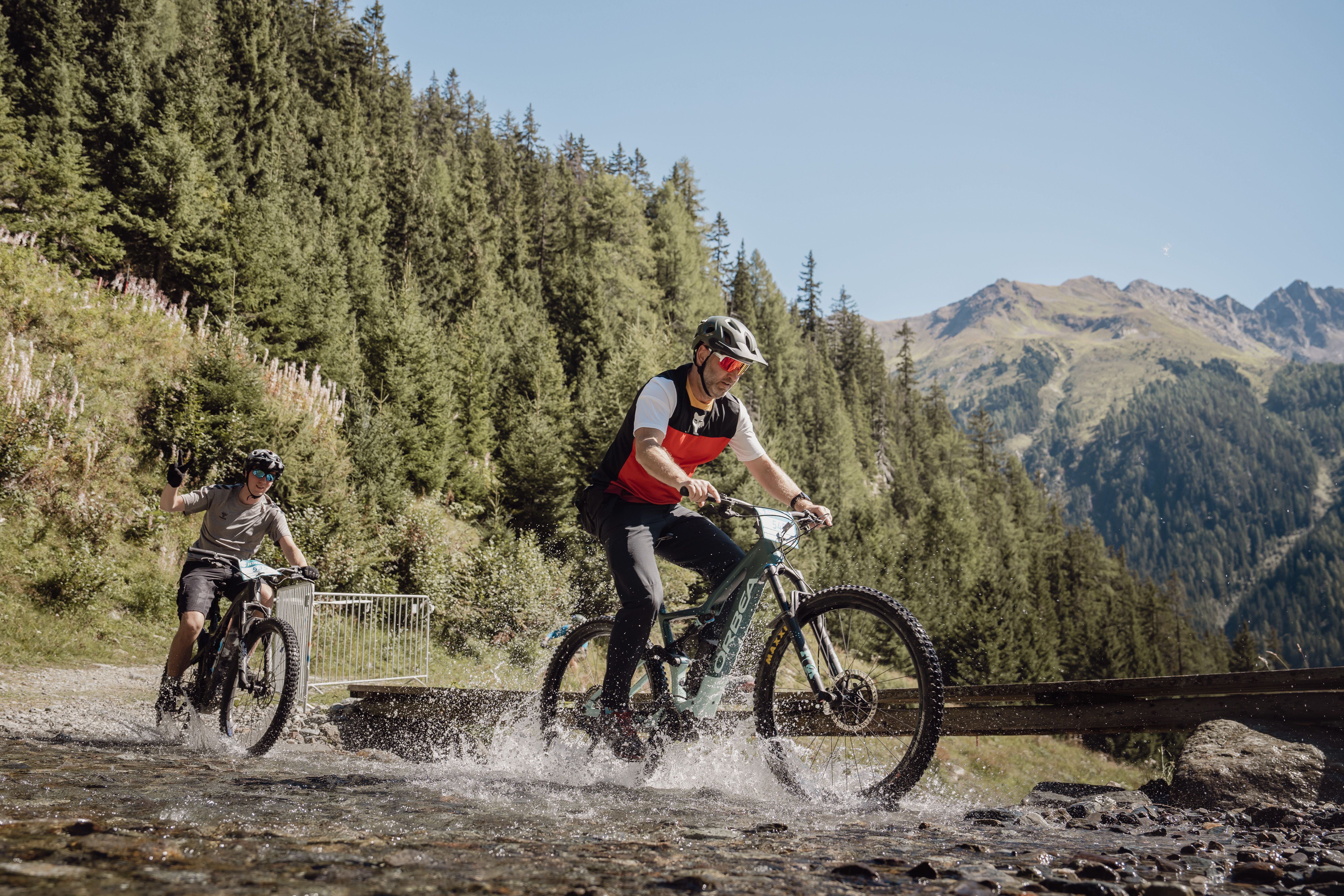
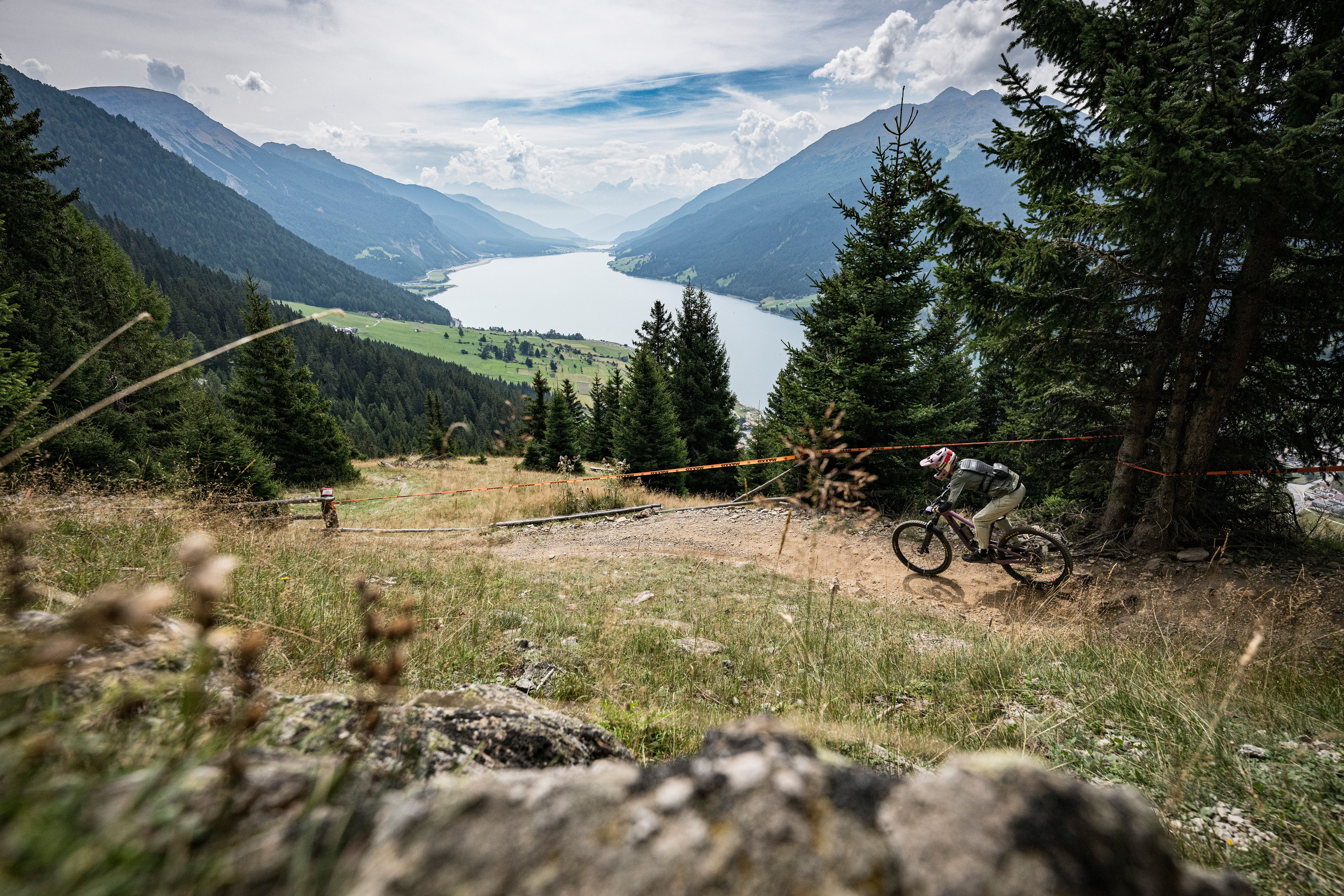
Downhill & Trails
Here you can just let it go. On two wheels, of course.
Learn more: Downhill & Trails
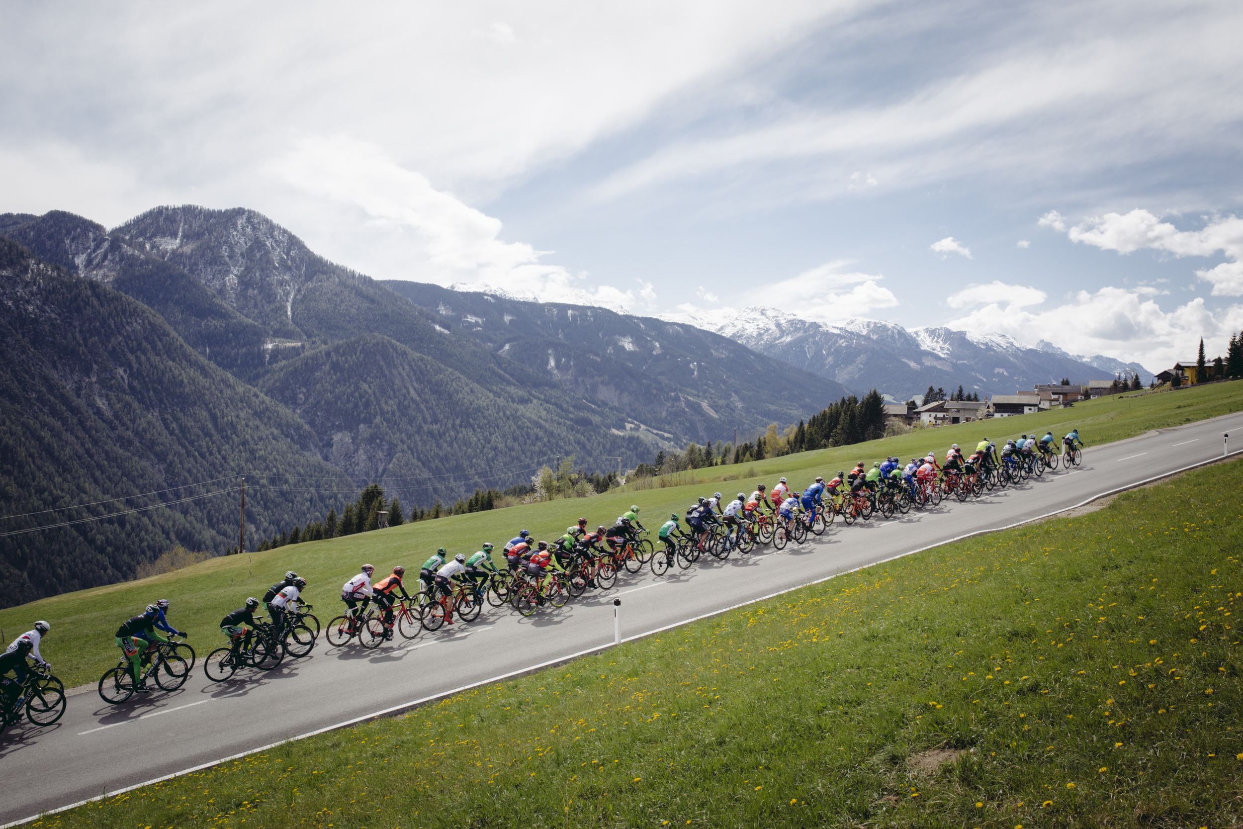
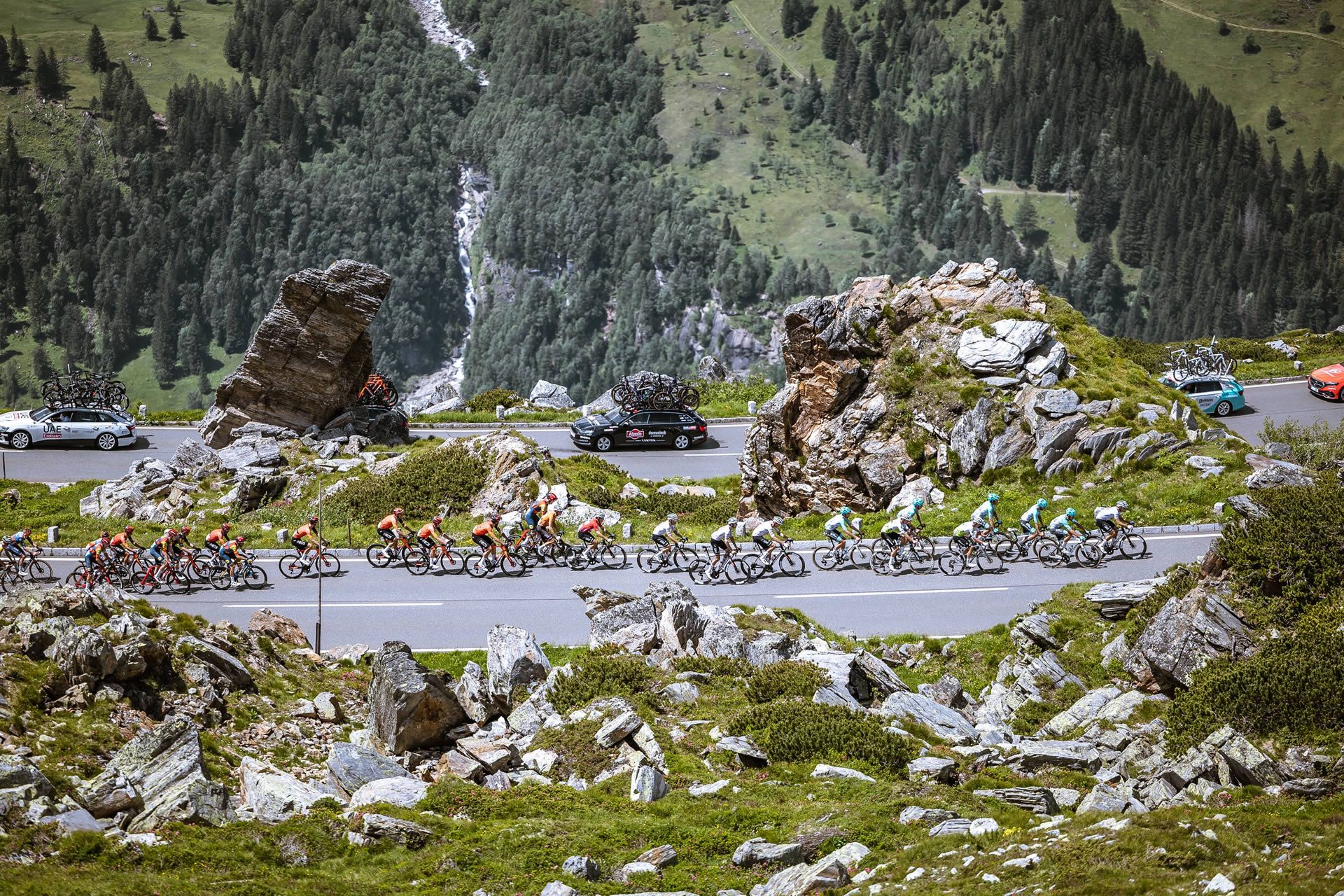
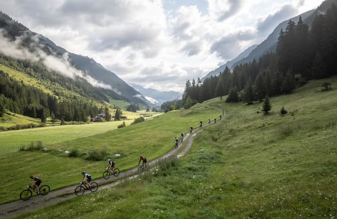
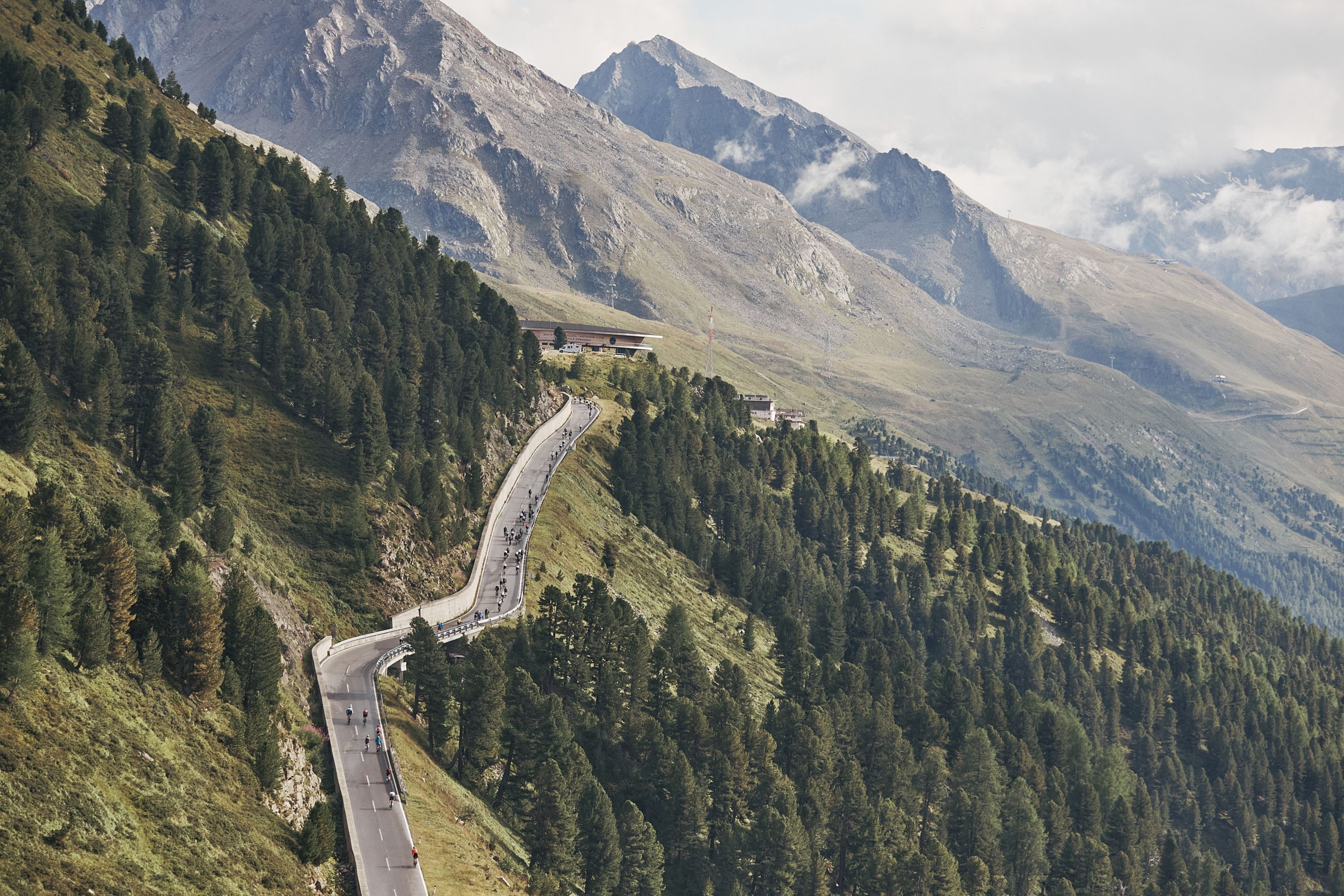
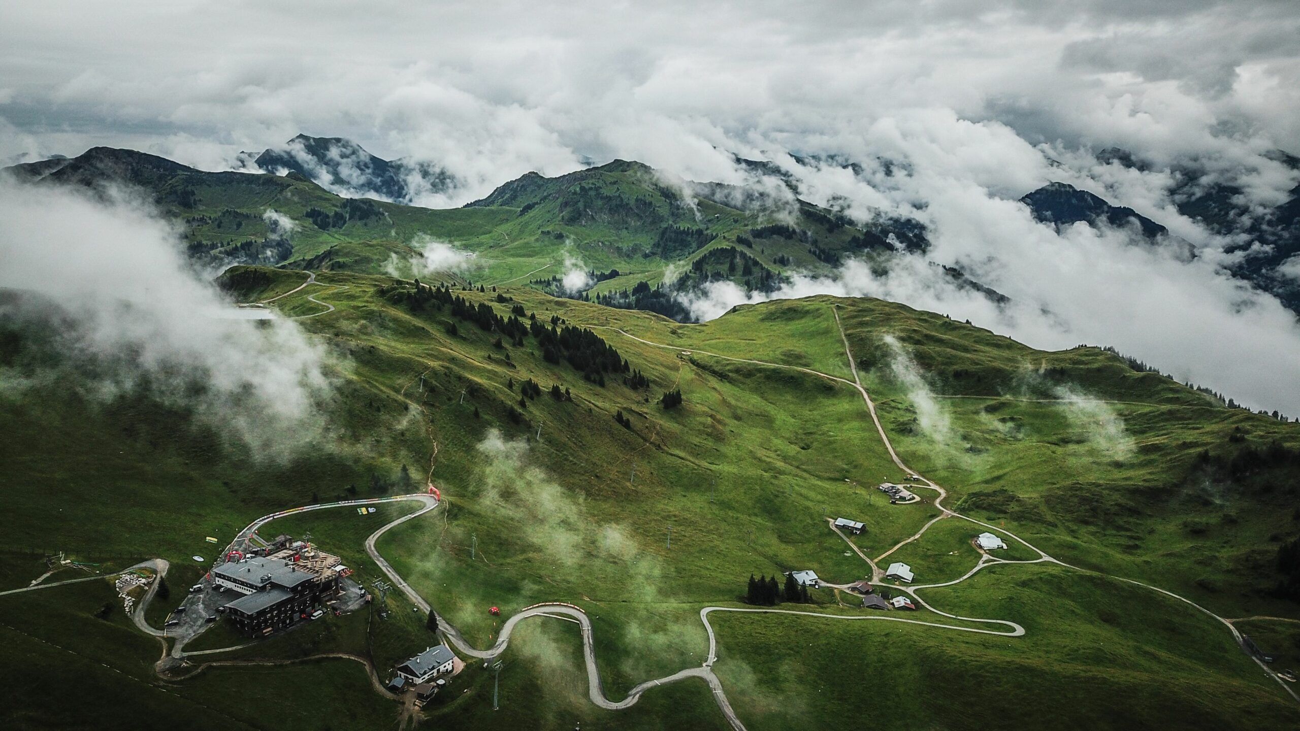
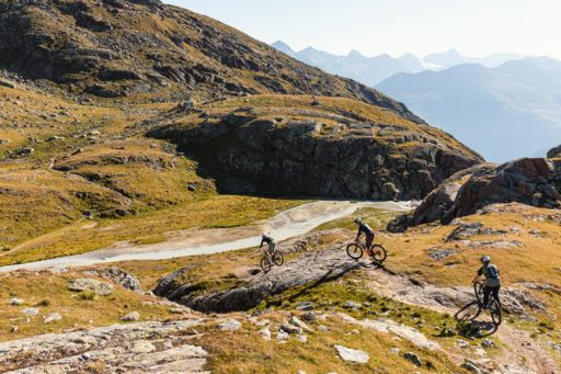
We could brag that you could cycle from Tyrol to Beijing on Tyrolean cycle and mountain bike trails. But because cycling in Beijing isn't much fun, we'd rather keep you here. Instead, we'll show you 7,600 kilometres of tours to secluded valley heads, remote mountain pastures and through wild nature parks.
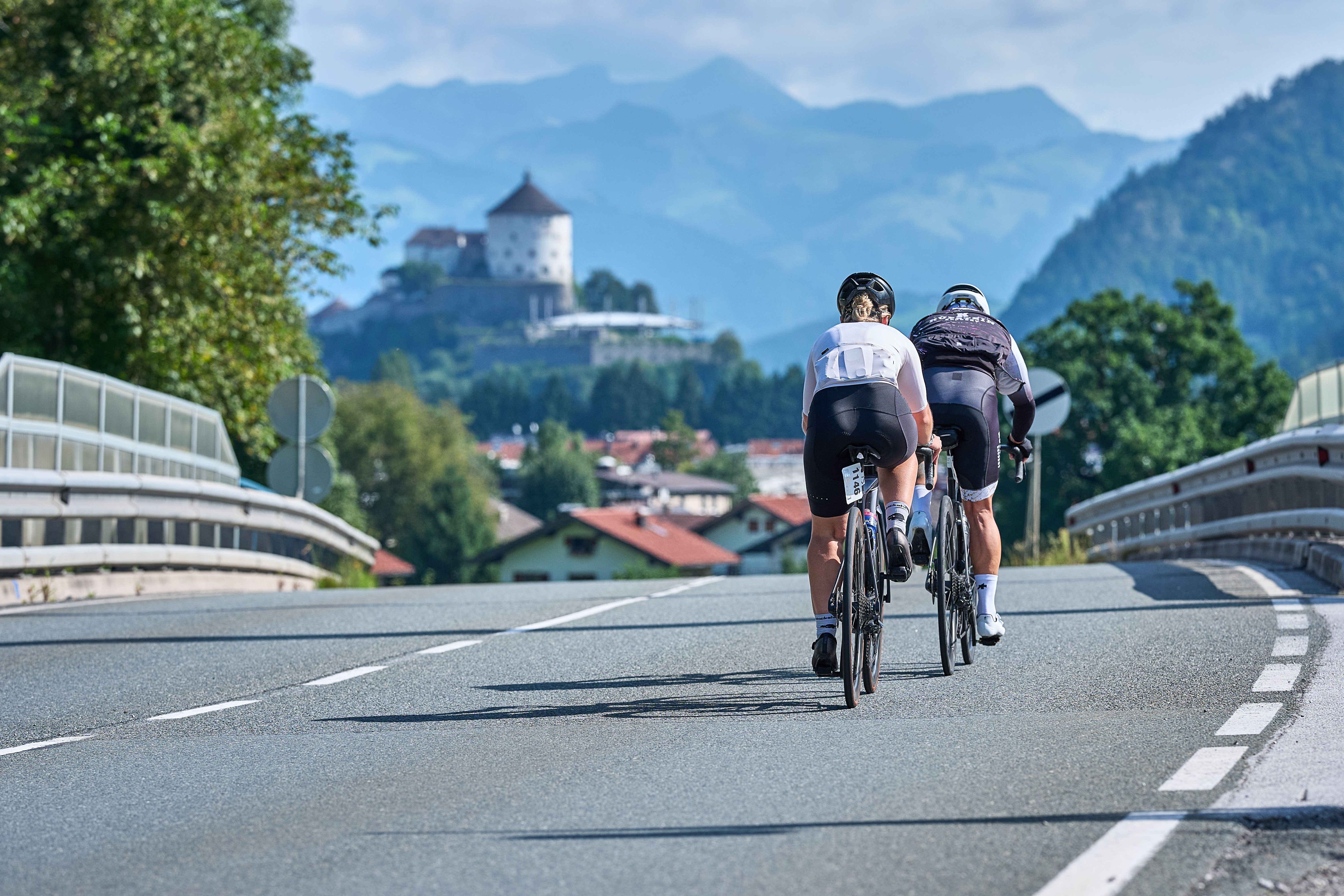
Here you will find an overview of all cycle tours in Tyrol