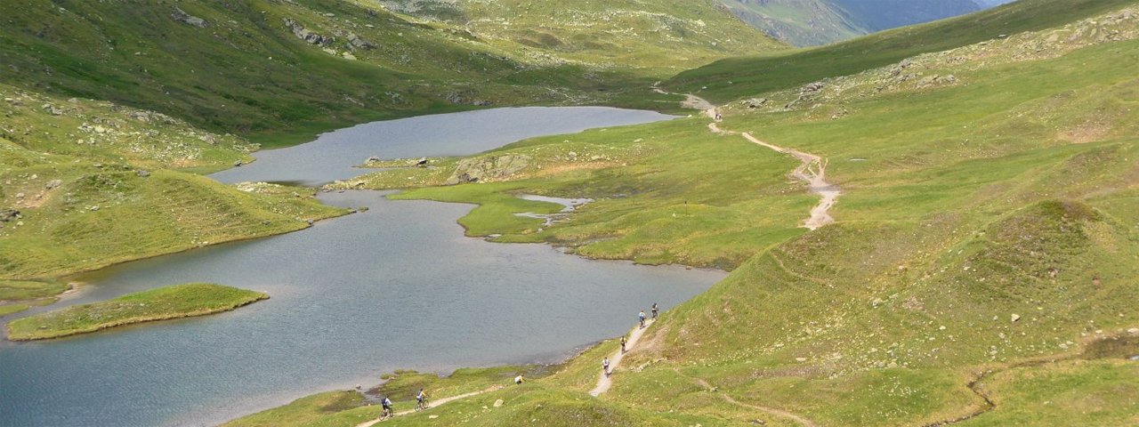
This ride to two huts, the Konstanzerhütte and Heilbronnerhütte, leads through the rugged alpine landscape of the Verwall Mountains across the border into the neighbouring province of Vorarlberg. Most of the riding is on tarmac and gravel. Highlights along the way include the idyllic Verwallsee lake with its hanging bridge as well as the spectacular Rosannaschlucht gorge. From the Konstanzerhütte at 1,688 metres above sea level, riders can enjoy wonderful views of the 3,056-metre-high Patteriol mountain. The final section leads along a singletrack trail over the provincial border into Vorarlberg and ends at the Heilbronnerhütte hut.

Mountain Bike Ride
Starting point
St. Anton am Arlberg
Hike to
Konstanzerhütte & Heilbronnerhütte
Finishing point
St. Anton am Arlberg
Mountain chain
Verwall Mountains
Length
41 km
Riding time
5h
Features
- Circular route
- Handicap-accessible
- Route with e-bike charging station
Difficulty rating
difficult
Altitude
Elevation uphill 1,170m
Vertical metres downhill 1,170m
Fitness level
Technique
Best time of year
* These are approximate values and recommendations. Please take your personal fitness level, technical ability and the current weather conditions into account. Tirol Werbung cannot guarantee that the information provided is correct and accepts no liability.
Parking
Nasserein car park
Rendl car park
Verwall car park
Places serving food & drink
- Wagner Hütte
- Konstanzerhütte
- Heilbronnerhütte
- Various locations in St. Anton am Arlberg
Downloads
Trail description
From the car park at the WellCom spa in St. Anton, first ride in a westerly direction along a road until you reach the main road. Cross this road and turn left opposite the Hotel Mooserkreuz onto the tarmac Verwallweg road leading into the Verwalltal Valley. Then follow the signs past the EldoRADo bike park to the Konstanzer Hütte. The ride continues along the Rosannaschlucht gorge for about 3.6 kilometres to the Wagner Hütte, which used to be called the Rasthaus Verwall. A slight ascent then leads to the Verwallsee lake with its steel cable bridge. After the lake, pass the Salzhütte and continue parallel to the Rosanna river for 4.3 kilometres in a southerly direction. Before you reach the Konstanzerhütte hut you have to overcome a series of steep switchback corners and a short final ascent. After the Konstanzerhütte hut, turn left and follow the Rosanna river for another 5 kilometres to the Schönverwallhütte (closed) at about 2,000 metres. It is here that the moderately difficult, 3.5-kilometre-long singletrack trail to the Heilbronnerhütte hut begins, leading over the Rosanna river and steeply uphill to the lakes at the provincial border between Tirol and Vorarlberg before eventually reaching the Heilbronnerhütte hut. Return along the way you came.


