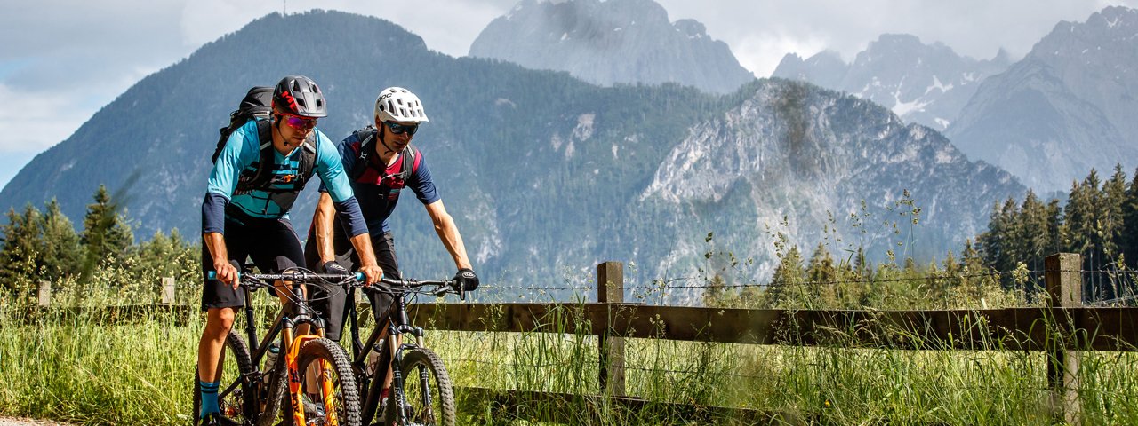
This ride of intermediate difficulty is one where e-bike riders can pile on the elevation gain as they climb 1,350 vertical metres from the valley all the way up to the Hochsteinhütte at 2,023 metres above sea level. The pretty route takes riders along the Drau Cycle Path, up the Pustertaler Höhenstraße with its panoramic views and then along the final section of tarmac road through a forest to the hut, which is located just above the treeline. Magnificent views of the valley below and mountains on the horizon including the Lienz Dolomites and the Großglockner, Austria's highest mountain, are a fine reward for all that effort.

Mountain Bike Ride
Starting point
Dolomitenstadion Lienz
Hike to
Hochsteinhütte (2,023 metres)
Finishing point
Dolomitenstadion Lienz
Mountain chain
Villgraten Mountains
Length
32.5 km
Riding time
5h
Features
- Circular route
- Handicap-accessible
- Route with e-bike charging station
Difficulty rating
medium
Altitude
Elevation uphill 1,350m
Vertical metres downhill 1,350m
Fitness level
Technique
Best time of year
* These are approximate values and recommendations. Please take your personal fitness level, technical ability and the current weather conditions into account. Tirol Werbung cannot guarantee that the information provided is correct and accepts no liability.
Parking
Downloads
Trail description
The ride begins at the Dolomitenstadion stadium in Lienz. From there, ride along the eastern side of the Drau river via Amlach all the way to Leisach,. Here the path crosses over onto the other side of the river. In Leisach, turn left onto the main road and, after just a few hundred metres, turn right onto the Pustertaler Höhenstraße. Follow the road uphill as far as Bannberg folgen (including some steep sections), then follow the signs for "Hochstein". Continue along the tarmac road, with plenty of shade in the forest, all the way up to the car park at Hochstein (1,980 metres). From there it is then just a matter of 400 metres or so along a forest road to reach the Hochsteinhütte (2,023 metres). After all that climbing, riders can look forward to a hearty meal and refreshing drink on the terrace offering magnificent views. Return along the same route.


