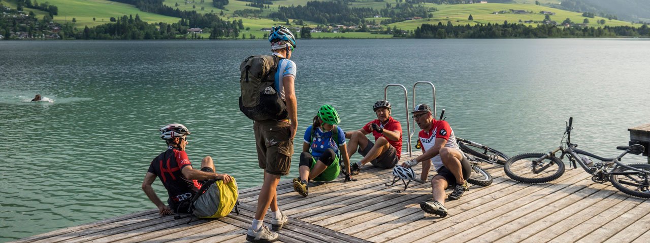
Riders wishing to take on this adventure leading up to the Karalm hut in the Chiemgau Alps will need good fitness levels, though the extra battery boost offered by an electric bike will make the 2.5 hour climb from Kössen via the Naringalm hut to the Karalm 1,275 vertical metres further up in the mountains a little easier. Make sure you take enough to eat and drink – the Karalm hut is closed to visitors. However, it is a wonderfully peaceful spot high in the mountains with some majestic views of the surrounding landscape.

Starting point
Kössen
Hike to
Karalm
Finishing point
Kössen
Mountain chain
Chiemgau Alps
Length
18.1 km
Riding time
2 h 30 min
Features
- Circular route
- Handicap-accessible
- Route with e-bike charging station
Kaiserwinkl tourist information office, Postweg 6, Kössen
Adventure Club Kaiserwinkl, Hüttfeldstraße 65a, Kössen
Difficulty rating
medium
Altitude
Elevation uphill 830m
Vertical metres downhill 830m
Fitness level
Technique
Best time of year
* These are approximate values and recommendations. Please take your personal fitness level, technical ability and the current weather conditions into account. Tirol Werbung cannot guarantee that the information provided is correct and accepts no liability.
Parking
Car park at event centre in Kössen (free)
Places serving food & drink
- Various locations in Kössen
Downloads
Trail description
This ride starts at the event centre in Kössen. From there, ride west on the Postweg road to the roundabout and cross the Mühlbachweg, under the underpass of the Klobensteiner Straße, via the Staffenbrücke bridge over the Großache river. Then turn right to Staffen and after 780 metres turn right again at the car park onto route 244. This leads along a forest path with a steep incline for 3.9 kilometres through wooded area to the Naringalm and then another 1.6 kilometres in a very easy up and down to the Unternotheggeralm. In order to reach the Karalm (not open to the public) at almost 1,300 metres above sea level, turn right and cycle uphill again on the forest path. After 1.6 kilometres you reach the meadows below the Karkopf. Return along the way you came.


