This advanced to expert mountain bike trail is a full two-day trip and takes you from mild to wild, from the lovely Inntal Valley up to the mighty glaciers of the Inner Ötztal Valley. Noted for being the Ötztal Valley’s signature trail, it’s the perfect combination of endless singletrack and dramatic views of the Alps. Running at over 80 kilometres long, it connects several trails in the valley. Plus, it puts you close to worthwhile sights and attractions of the Ötztal Valley, such as the scenic Piburgersee lake and the Stuibenfall – Tirol’s tallest waterfall – as well as the local history and outdoor museum and the outstanding Aqua Dome spa resort.

Two-Day Mountain Bike Ride
Starting point
Haiming
Hike to
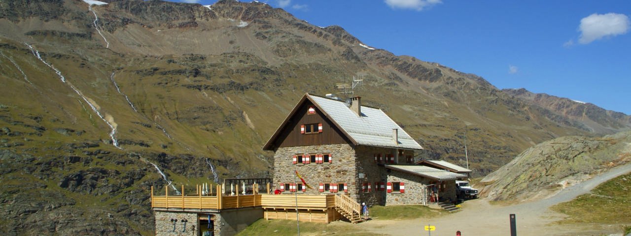
Langtalereckhütte (Karlsruher Hütte)
Finishing point
Haiming
Mountain chain
Stubai Alps
Ötztal Alps
Length
162.9 km
Duration
2 day(s)
Features
- Circular route
- Handicap-accessible
- Route with e-bike charging station
Difficulty rating
difficult
Altitude
Elevation uphill 3,400m
Vertical metres downhill 3,400m
Fitness level
Technique
Best time of year
* These are approximate values and recommendations. Please take your personal fitness level, technical ability and the current weather conditions into account. Tirol Werbung cannot guarantee that the information provided is correct and accepts no liability.
Parking
Car park at the municipal building ("Gemeindeamt ") in Haiming
Places serving food & drink
- Langtalereckhütte (Karlsruher Hütte)
Downloads
Trail description
The ride begins in Haiming and initially leads via the village of Ötztal-Bahnhof into the Ötztal Valley. The route runs parallel to the Ötztaler Ache river gently uphill via Sautens, Oetz, Umhausen and Längenfeld all the way to Sölden. It is here that things get steeper. Follow trails 691 and 655 towards Gaislachalm and, after passing the hamlet of Infang, continue straight on. After passing the Gaislachalm hut there is a short descent into the valley along a twisting trail. Once back down in the valley, ride towards Zwieselstein along the Venter Ache river until you meet the Gurgler Straße. This leads further into the valley, via two tunnels, to the village of Obergurgl. It is here that the final steep climb begins, along a gravel trail, via the Schönwieshütte and the reservoir all the way up to 2,430 metres above sea level, where you will find the Langtalereckhütte hut.
Riders have the option of staying the night at the Langtalereckhütte before returning along the same route on day two.


