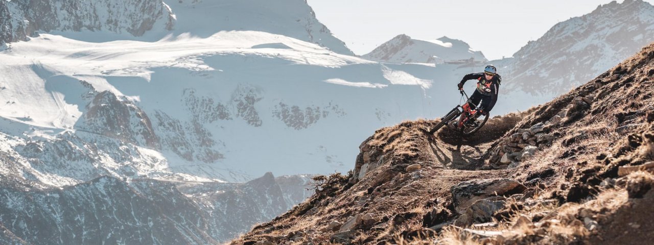
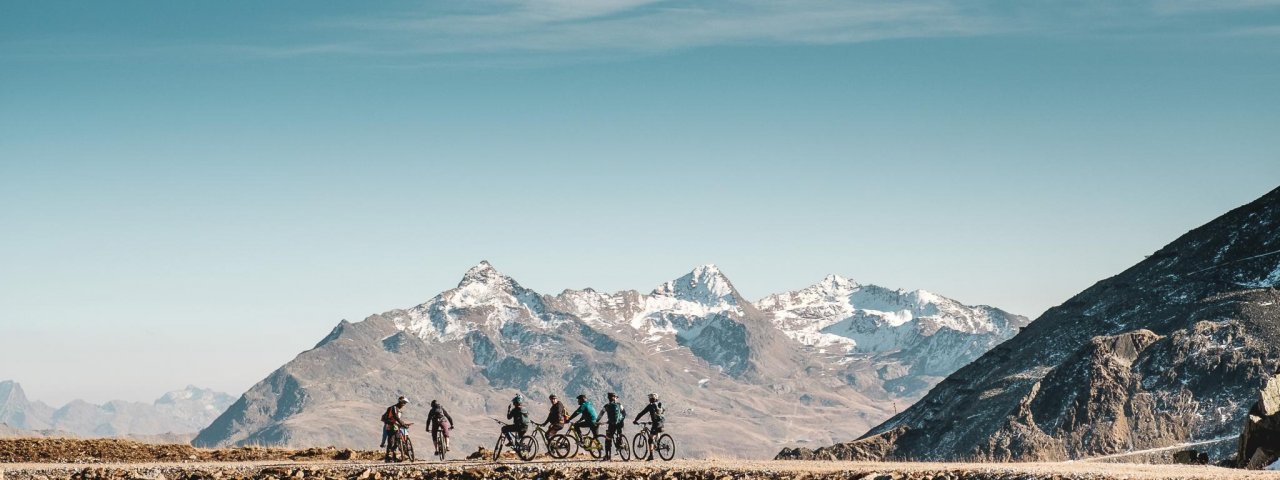
Opened in summer 2018 in the Bike Republic Sölden, the Ollweite Line ("Ollweit" is a dialect word from the Ötztal Valley meaning "outside" or "outdoors") is a 7km singletrack trail descending around 700 vertical metres from the top of the Langeggbahn lift via the "Hühnersteign" to Stabele. As well as plenty of flow the trail also offers a few technicla sections, making it ideal for both beginners and advanced riders. The views of the Schwarzsee lake, Rettenbachferner glacier and Stubai Alps are simply breathtaking.


Singletrack
Starting point
Top of Langeggbahn lift
Finishing point
Stabele im Rettenbachtal
Mountain chain
Ötztal Alps
Length
7 km
Riding time
1h
Features
- Circular route
- Handicap-accessible
- Route with e-bike charging station
Difficulty rating
Singletrack diffficult
Altitude
Vertical metres downhill 712m
Fitness level
Technique
Best time of year
* These are approximate values and recommendations. Please take your personal fitness level, technical ability and the current weather conditions into account. Tirol Werbung cannot guarantee that the information provided is correct and accepts no liability.
Parking
Parking at the Giggijochbahn and Gaislachkoglbahn lifts
Downloads
Trail description
The Ollweite Line can be accessed quickly and easily using the Langeggbahn lift, which itself is accessible via the Eebme Line trail from the mid-way station of the Gaislachkogelbahn lift.
The trail itself begins at a left-hand corner just below the Rotkogeljochhütte hut. The first section is fast and flowing, leading through rolling terain, around the reservoir and through a rocky passage to the ski piste.
After crossing the ski piste things continue in the same vein before becoming increasingly technical. The middle section with its rocky terrain requires absolute concentration. The trail then winds its way down through a series of corners into the valley, where it crosses the Rettenbachalm Trail.
The line is initially flat and wide but becomes more challenging on the way to the "Hühnersteign".
Rides then continue on the ski piste along the banks of the Rettenbach river to Stabele, where they meet the Ohn Line.
The path turning off the Ollweiten Line just above the "Hühnersteign" is for hikers only.
Tip! Stop off for a drink and a snack on the sunny terrace of one of the huts along the trail.


