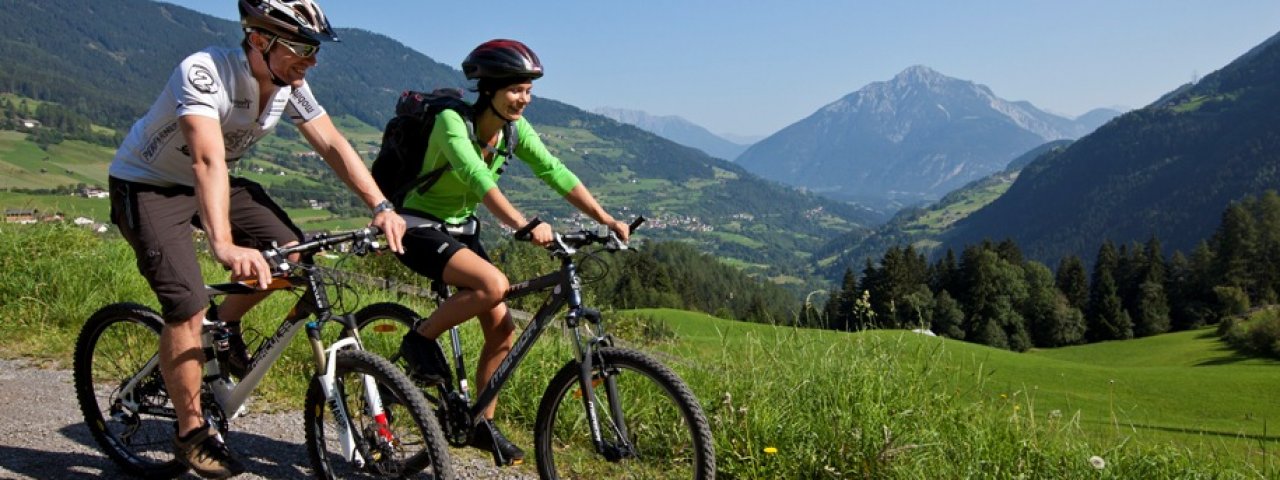
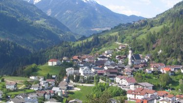
The Pitztal Bike Route leads along a mix of tarmac and gravel paths from the town of Imst through the entire Pitztal Valley all the way to the glacier-topped mountains at the end. As they pass through Arzl, Wenns and St. Leonhard, riders can enjoy views of some of Austria's highest mountains and most beautiful landscapes. As well as rushing waterfalls and quaint hamlets, there are a number of Kneipp water therapy stations along the way where bikers can reinvigorate tired arms and legs by dipping them in cold water. Don't miss out on the chance to check out the Sculpture Trail in Madarfen. Food and drink is served in a number of huts and restaurants along the way.

Mountain Bike Ride
Starting point
Innbrücke bridge, railway station Imst-Pitztal
Finishing point
Innbrücke bridge, railway station Imst-Pitztal
Mountain chain
Ötztal Alps
Length
40.8 km
Riding time
4h
Features
- Circular route
- Handicap-accessible
- Route with e-bike charging station
Difficulty rating
medium
Altitude
Elevation uphill 1,434m
Vertical metres downhill 417m
Fitness level
Technique
Best time of year
* These are approximate values and recommendations. Please take your personal fitness level, technical ability and the current weather conditions into account. Tirol Werbung cannot guarantee that the information provided is correct and accepts no liability.
Parking
Car park at Imst-Pitztal railway station (pay-and-display)
Places serving food & drink
- Various locations in Imst, Pitztal, Wenns, Jerzens and St. Leonhard im Pitztal
Downloads
Trail description
The ride begins at the bridge over the Inn river at the Imst-Pitztal train station and initially follows route 614 uphill to Arzl im Pitztal. Continue along the asphalt village road, later on side roads, to Wenns. There the route continues through fields and a little steeper uphill past the hamlet of Greith. At the following hamlet of Langegerte, shortly after crossing the Pillerbach stream, turn left at the crossroads and follow route 614 over a ridge towards Jerzens. From Kienberg near Jerzens the route runs parallel to the Pitze river and the Pitztaler Straße and continues into the Pitztal Valley. The route runs slightly uphill first to Zaunhof, then to St. Leonhard and finally via Stillebach and Plangeross to Mandarfen im Pitztal. Shortly afterwards, the ride's destination is reached in Mittelberg at the foot of the glacier.
Use the bus route 4204 from the stop "Mittelberg Gletscherbahn", "Mittelberg Gh. Gletscherblick "or "Mittelberg Wendestelle" to return to the starting point.
Tip! An easier option is to take the bus into the valley and then ride from Mittelberg back to the railway station Imst-Pitztal. In fact, the Pitztal Bike Trail can be started at any of the villages along the route. There are a few steep and technically challenging sections, but these can all be avoided by switching to the main road into the valley.


