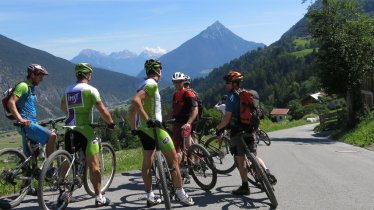
© Achensee Tourismus
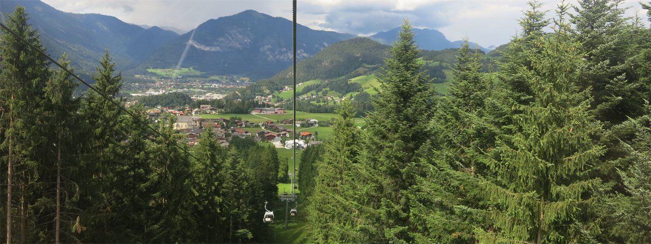
Reitherkogelbahn Cable Car, © Tirol Werbung/Gleirscher
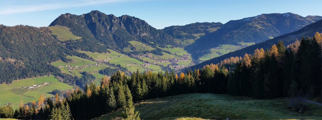
Bike Safari Stage 11: Alpbach, © Werner Moser

Mountain Bike Safari Stage 12: Steinberg am Rofan – Alpbach

This stage follows the Steinberger Ache and Brandenberger Ache rivers along the northern foothills of the Rofan Mountains and comprises 650 vertical metres of gentle climbing on wide paths as well as 1300 vertical metres of descent with spectacular views.

The road through Kramsach and via Brixlegg leads to Reith in the Alpbachtal Valley and the Reitherkogelbahn cable car and up to the Kerschbaumersattel ridge, before the final descent of the day starts back down to the village of Alpbach.

Tips & Details

Specific information about the Mountain Bike Safari stage, including GPS data and tour descriptions with trailside eateries and services, is provided in the download area below.

The road through Kramsach and via Brixlegg leads to Reith in the Alpbachtal Valley and the Reitherkogelbahn cable car and up to the Kerschbaumersattel…

Read moreShow less
Open interactive map

Starting point

Steinberg am Rofan

Finishing point

Alpbach

Mountain chain

Brandenberg Alps (Rofan)

Kitzbühel Alps

Length

43.1 km

Features

  • Circular route
  • Handicap-accessible
  • Route with e-bike charging station

Difficulty rating

medium

Altitude

1,430m

Vertical metres uphill (incl. lift): 1,570m
Elevation uphill 1,100m
Vertical metres downhill 1,710m

Fitness level

* These are approximate values and recommendations. Please take your personal fitness level, technical ability and the current weather conditions into account. Tirol Werbung cannot guarantee that the information provided is correct and accepts no liability.

Trail description

Starting Point: Steinberg am Rofan

From Steinberg am Rofan, riders take the forest road via Hinterberg to Pinegg. The short descent to Pinegg is followed by a fairly long climb on a tarmac road to Aschau, which in turn is followed by a slightly bumpy downhill section to Kramsach. After passing Kramsach, riders switch to the other side of the Inn River, head towards Brixlegg and climb up along hairpin bends up to Reith.

Lift along the Stage: Reitherkogelbahn Reith im Alpbachtal (Closed on Wednesdays) • +43.5337.62245 • www.skijuwel.com

The Reitherkogelbahn cable car takes riders to the top, reaching an altitude of almost 1,200 metres. From the top station, riders continue uphill for short while before descending to the Kerschbaumer Sattel overlooking the Zillertal Valley. This is where riders switch to a different side of the mountain and climb for around 400 vertical metres to the Hochlindalm hut. From there, they ride down to Kolber and then into the valley to reach Alpbach, the finishing point of this stage.

Finishing Point: Alpbach


Important! The length of the ride and particularly the vertical metres are rounded and to be seen as approximate values. The data was collected with high quality GPS equipment and processed with professional software. However, deviations may arise due to environmental factors and technological differences.

All Tirol Mountain Bike Safari Stages

show more +

Places along the route

Arrival date

How to get here by plane, train, bus or car.

Ihr Ziel: Mountain Bike Safari Stage 12: Steinberg am Rofan – Alpbach (47.520412888,11.789098342)

powered by Rome2Rio

Search accommodation

Number of travelers

How did you like this article?

Want to receive an answer? If so, please get in touch using the contact form.

Go up

Is your inbox in need of a holiday?

Then subscribe to our weekly newsletter full of exclusive holiday tips from Tirol!