Long-distance hike Eagle Walk Stage O4: Bonn-Matreier Hütte - Badener Hütte

Virgen in Osttirol / Venediger Group
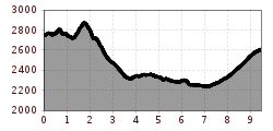
Difficulty ratings: difficult
Route length: 10.0 km
Duration: 5:00 h

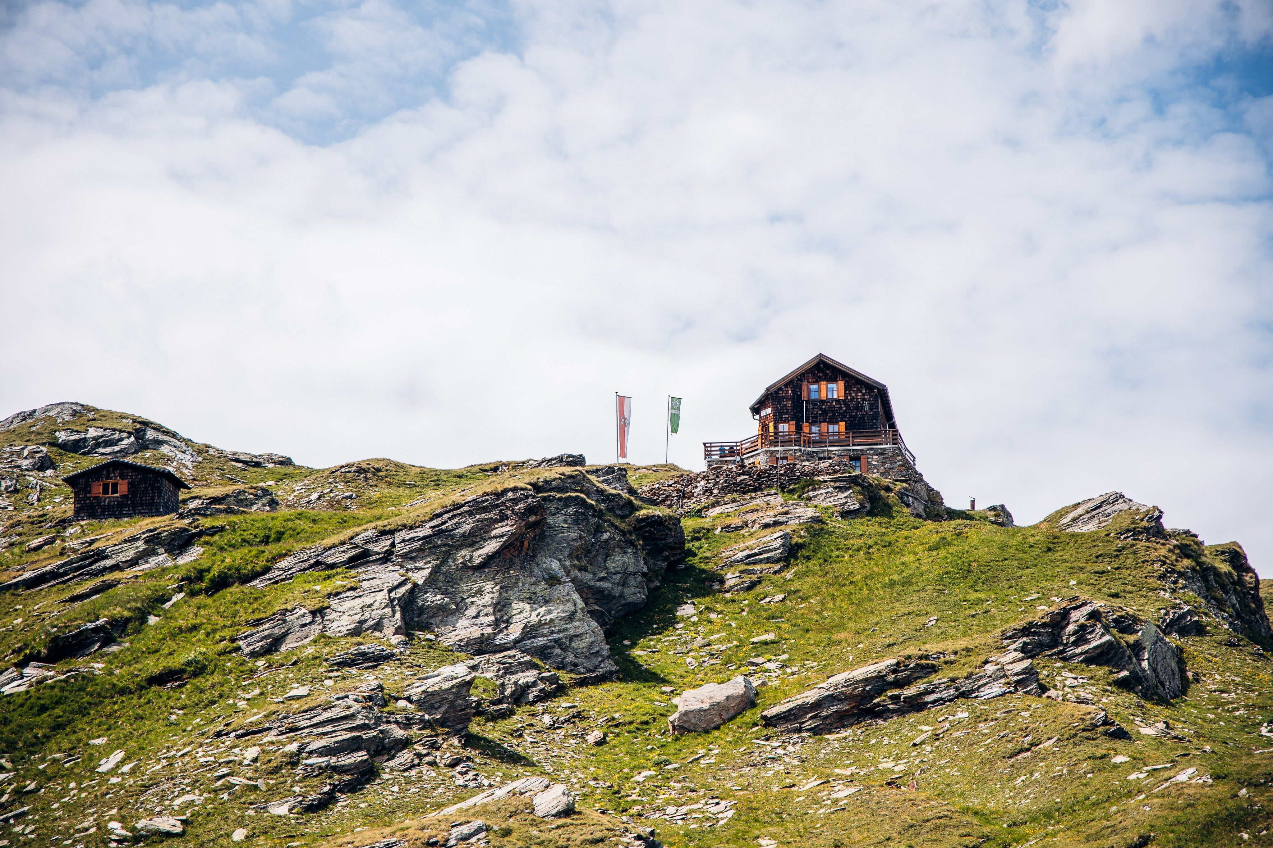
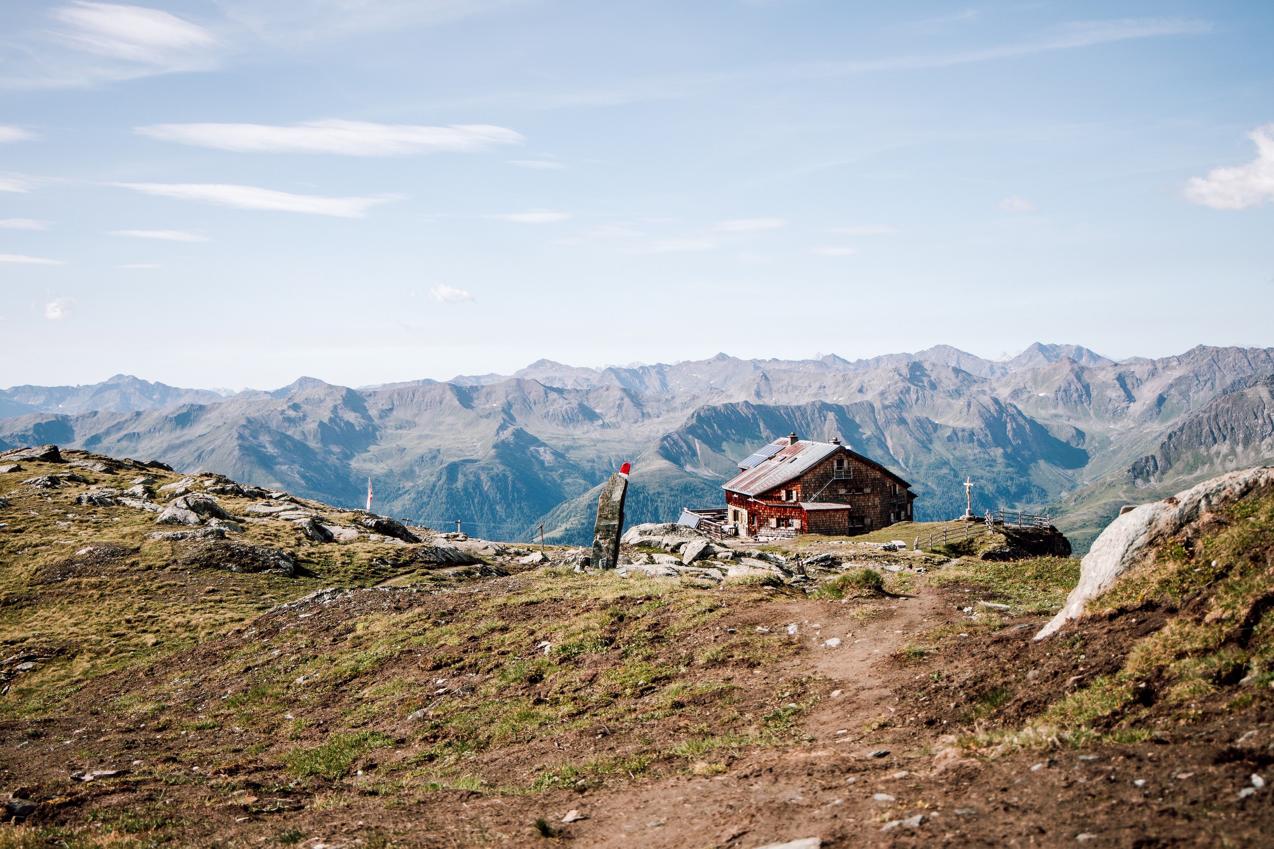
The focus is on rock, as the trail leads from the Bonn-Matreier-Hütte through rocky terrain. Via the Kälberscharte and the Galtenscharte, you approach the venerable Großglockner region. The climb to the Hohe Achsel is a challenging bonus summit. Perhaps you would prefer to head straight to the Badener Hütte, complete with babbling brook and impressive views of the Kristallwand.

Tour character

Difficult stage on black mountain paths. The route runs in sections over steep, challenging descents, as well as embrasures and climbs - some of which are secured by ropes. Steep snowfields also have to be crossed and require alpine skills, surefootedness and a head for heights. Very good physical condition required.
Tour information

  • Requirement: difficult
  • Length: 10.0 km
  • Duration: 5:00 h
  • Elevation uphill:800 hm
  • Elevation downhill:950 hm
Highest point2,872 m

Starting point

Bonn-Matreier-Hütte

Finishing point

Badener Hütte
  • Fitness level 5 / 6
  • Technique 5 / 6

Best time of year

  • January
  • February
  • March
  • April
  • May
  • June
  • July
  • August
  • September
  • October
  • November
  • December
Source: TirolWerbung

Description


trail description: From Bonn-Matreier Hut, walk up for about 10 minutes and take the right fork at the signpost. Traverse a rocky trough on your way to the slanting, jagged crags of Kälberscharte Crest (elev. 2,791m). The trail up both sides of the crest, the crossing into Kleines Niltal Valley and the steep climb atop Galtenscharte Notch are assisted by stone steps and a fixed anchoring system of cables, making it relatively easy to negotiate. From the notch, the trail drops down 600 metres, steeply and demanding, to reach Mailfroßnitzbach Creek. The upper section of the steep tread is assisted by a fixed anchoring system of cables;  snow may remain until summer in the steep middle section. If the tread is snow-free, the trail is well-defined. When you reach the creek, the steep grade lessens. The trail continues some 40 metres beneath the bridge across Mailfroßnitzbach Creek and heads north high above Froßnitztal Valley along the grassy slopes of Hohe Achsel Peak. The terrain varies greatly, passing rivulets and streams; some sections are assisted by a fixed anchoring system of cables. You'll get to explore a quiet little tarn set in a moraine-scoured cirque at the head of Achsel. This is where the Venediger High Trail intercepts the Valley Trail. The route proceeds towards “Badener Hütte”, traversing lateral moraines and eventually crossing Froßnitzbach Creek on a footbridge. Amble along ridges and through hollows, and thrill at the views, both at your feet and off to the horizon. Watch for white-tailed ptarmigans, a member of the grouse family that makes this beautiful but harsh Alpine environment its home. Eventually, you’ll get to the lateral moraine of Froßnitzkees Glacier; bear right and continue walking to reach the destination of this walk,  Badener Hut at Großvenediger Mountain, situated at an elevation of 2,608 metres.

Weather

Wed

Thunderstorm
18°C/10°C
85%26.2l5 km/h

Today

moderate rain
13°C/9°C
80%10.2l5 km/h

Fri

light rain showers
17°C/9°C
40%1.7l5 km/h
Go to weather forecast

More tours in the surrounding area

  • Herz-Ass Villgratental

    Difficulty:medium
    Length:75.6 kmDuration:34:00 hElevation uphill:5,703 m
  • Figerhorn

    Difficulty:difficult
    Length:6.6 kmDuration:6:00 hElevation uphill:811 m
  • Theme path "Virgen crossroads"

    Difficulty:easy
    Length:3.2 kmDuration:1:00 hElevation uphill:104 m
  • Muhs panorama trail

    Difficulty:medium
    Length:15.2 kmDuration:6:00 hElevation uphill:1,090 m
  • Toblacher Pfannhorn

    Difficulty:medium
    Length:9.8 kmDuration:4:30 hElevation uphill:1,020 m
  • Hike to Jagdhausalm 2.009m

    Difficulty:easy
    Length:16.6 kmDuration:5:00 hElevation uphill:400 m
  • Golzentipp 2.317 m

    Difficulty:easy
    Length:5.6 kmDuration:2:00 hElevation uphill:267 m
  • Umbal waterfalls nature force trail

    Difficulty:easy
    Length:6.0 kmDuration:2:30 hElevation uphill:257 m
  • Glacier trail Innergschlöss/Schlatenkees

    Difficulty:medium
    Length:9.4 kmDuration:4:50 hElevation uphill:680 m
  • Große Kinigat

    Difficulty:difficult
    Length:8.5 kmElevation uphill:1,250 m
  • Oberstalleralm

    Difficulty:easy
    Length:2.8 kmDuration:0:50 hElevation uphill:170 m
  • Volkzeiner Hütte

    Difficulty:easy
    Length:13.4 kmDuration:3:30 hElevation uphill:370 m
  • Dorfberg

    Difficulty:medium
    Length:17.6 kmDuration:5:30 hElevation uphill:770 m
  • Rotenkogel

    Difficulty:difficult
    Length:3.9 kmDuration:3:00 hElevation uphill:383 m
  • Rote Spitze 2,956 m

    Difficulty:medium
    Length:10.2 kmDuration:5:30 hElevation uphill:1,260 m
  • Lake Schwarzsee

    Difficulty:medium
    Length:7.8 kmDuration:3:30 hElevation uphill:790 m
  • Circular walk church St. Nikolaus

    Difficulty:easy
    Length:5.4 kmDuration:1:39 hElevation uphill:150 m
  • Böses Weibl

    Difficulty:difficult
    Length:14.1 kmDuration:8:00 hElevation uphill:1,193 m
  • Children's mile Golzentipp

    Difficulty:easy
    Length:3.7 kmDuration:2:00 hElevation uphill:140 m
Newsletter

The mountain is calling? So does our newsletter!

In our monthly newsletter we reveal the best holiday tips for Tyrol.