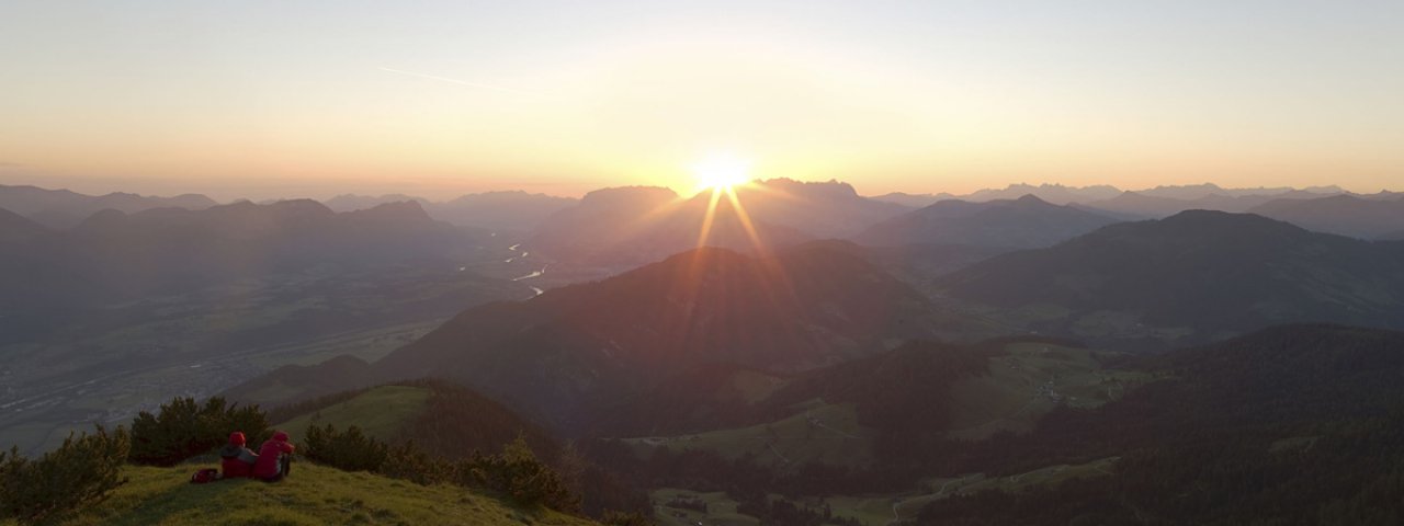
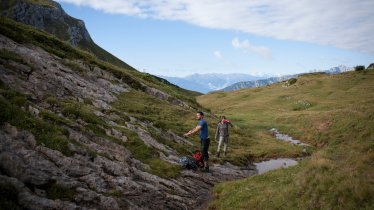
Despite its relatively modest height of 1,893 metres, the Gratlspitze mountain high above Alpbach offers great views and is well worth a visit. Its exposed position between the Inn Valley and the Alpbach Valley means hikers can see all the way to the Karwendel Mountains, the Kitzbühel Alps and the Hohe Tauern Mountains. A popular experience in summer is watching the sun rise from the top of the peak. The summit can be approached from several different directions. The most beautiful route leads via the Bischoferalm and the south-western ridge. Though the overall ascent is not that difficulty, there are a number of tricky sections with a steel rope anchored into the rock for added safety. Hikers should therefore have a good head for heights and be sure-footed. It is not recommended to climb to the summit in rain, snow or ice. Make sure you take enough to eat and drink with you, since there are no places along the way.

Summit Hike
Starting point
Village centre, Alpbach
Hike to
Gratlspitze
Finishing point
Village centre, Alpbach
Mountain chain
Kitzbühel Alps
Length
12.3 km
Total hiking time
6 h 30 min
Features
- Wheelchair-accessible Hiking Route
- Circular hike
Difficulty rating
intermediate (red mountain trails)
Altitude
Elevation uphill 1,050m
Vertical metres downhill 1,050m
Fitness level
Technique
Best time of year
* These are approximate values and recommendations. Please take your personal fitness level, technical ability and the current weather conditions into account. Tirol Werbung cannot guarantee that the information provided is correct and accepts no liability.
Public transport
- Accessible using public transport
Parking
Village centre, Alpbach
Places serving food & drink
- None along the route
- Various locations in the village
Downloads
Trail description
The trail takes hikers from the centre of Alpbach first in a northeasterly direction over the southern slopes of the Gratlspitze mountain. Follow a wide trail leading up a series of sweeping turns to the Bischoferalm (mountain hut closed to hikers). After two more corners, trail A18 branches off left towards "Hauserjoch". Take the right-hand fork at the next trail crossing and head in an easterly direction towards "Hauseralm". This will take you up onto the south-western ridge of the Gratlspitze mountain. Soon you will reach several challenging sections with steel ropes in the rock for extra safety. After passing the "Hochstrickl" (1,715 metres) with its crucifix things get even steeper until you finally get to the summit of the Gratlspitze itsef (1,893 metres). The reward for all that hard work is a fantastic view. The descent back down to Alpbach is along trail A27. Just below the summit, the trail divides. You can either take the direct but very steep route south or the longer but less challenging route south-east. This easier route leads via the Halsberg-Alm, the Hösljoch and Thierberg back to Alpbach.


