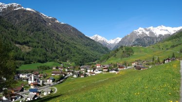
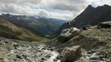
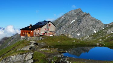
Located within the Venediger Massif, the Kreuzspitze mountain (3,153 metres) in the Virgental Valley is one of the highest peaks in East Tirol which can be climbed without crossing a glacier. Unsurprisingly, the views from the top are incredible, especially of the Großvenediger and Austria's highest mountain, the Großglockner. The bike section leads to the Johannishütte hut (2,121 metres). Although neither the bike nor the hike are technically challenging, they do require good fitness. The hike also demands sure-footedness and a good head for heights up at the top near the summit.

Bike & Hike Adventure
Starting point
Gasthof Islitzer, Hinterbichl
Hike to
Johannishütte (2,121 metres), Kreuzspitze (3,153 metres)
Finishing point
Gasthof Islitzer, Hinterbichl
Mountain chain
Venediger Mountains
Length
24 km
Features
- Wheelchair-accessible Hiking Route
- Circular hike
Difficulty rating
intermediate (red mountain trails)
Altitude
Elevation uphill 1,832m
Vertical metres downhill 1,832m
Best time of year
* These are approximate values and recommendations. Please take your personal fitness level, technical ability and the current weather conditions into account. Tirol Werbung cannot guarantee that the information provided is correct and accepts no liability.
Parking
Gasthof Islitzer, Hinterbichl
Places serving food & drink
- Johannishütte (mid-June until early October)
- Gasthof Islitzer, Hinterbichl
Downloads
Trail description
Bike (intermediate)
Riding time: 2 h 10 min
Distance: 16 km
Vertical ascent: 782 vertical metres
Hike (intermediate)
Hiking time: 6 h 10 min
Distance: 8 km
Vertical ascent: 1,050 vertical metres
The bike ride begins at the Gasthof Islitzer in Hinterbichl (west of Prägraten am Hochvenediger). Take mountain bike route 131 north into the Dorfertal Valley. From the starting point to the Johannishütte (2,121 metres) riders must climb around 780 vertical metres along a wide and not too steep trail which becomes flatter towards the end. Please be careful in the corners, since there is a minibus which provides a shuttle service up to the hut. As you approach the Gumpachkreuz (1,986 metres) the corners become a little steeper, but the views are great. The last section to the Johannishütte hut leads through an area of open meadowland.
Swap your bike for your hiking shoes at the hut and then head in a southerly direction on the "Venediger-Höhenweg" trail (number 929) uphill through grassy terrain. At the fork in the road, head towards "Zopetscharte". At around 2,700 metres above sea level there is another fork in the trail. Take trail number 23 to the right towards the Tulpscharte (2,948 metres). The trail is steep here, with hikers requiring sure-footedness. Continue up to the Kreuzspitze (3,153 metres) and enjoy the views north towards the Großvenediger with its glistening glaciers.
Return along the same route. Important! Avoid the "Sajatscharte" ridge, which is closed due to the risk of rockfall.


