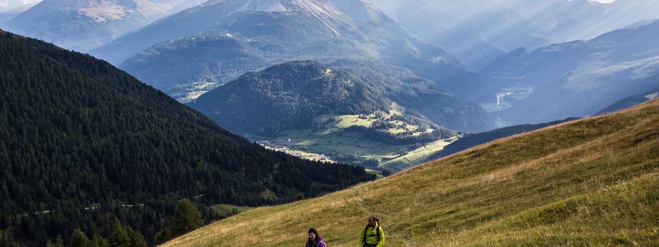
Visitors to Nauders in search of a truly spectacular view will enjoy this bike & hike adventure to the Schmalzkopf mountain (2,724 metres). The vista from the summit takes in peaks in Austria, Italy and Switzerland, including the famous Ortler in Italy and the Wildspitze, the highest peak in North Tirol. From bottom to top there is a total of 1,380 vertical metres to climb. Most of the tour is in the sun, which is an advantage in spring and autumn as the snow melts quickly. En route there is the chance to stop for a drink and a snack at the Labaunalm hut.

Bike & Hike Adventure
Starting point
Nauders
Hike to
Labaunalm, Schmalzkopf
Finishing point
Nauders
Mountain chain
Ötztal Alps
Length
18.4 km
Features
- Wheelchair-accessible Hiking Route
- Circular hike
Difficulty rating
intermediate (red mountain trails)
Altitude
Elevation uphill 1,380m
Vertical metres downhill 1,380m
Best time of year
* These are approximate values and recommendations. Please take your personal fitness level, technical ability and the current weather conditions into account. Tirol Werbung cannot guarantee that the information provided is correct and accepts no liability.
Public transport
- Accessible using public transport
Parking
Various locations in Nauders, for example next to the tourist information office.
Places serving food & drink
- Berggasthof Parditsch (open in summer from mid-June, Thursdays & Fridays)
- Labaunalm (June until mid-September)
E-Bike-Ladestation
- Bottom of Bergkastel-Seilbahn cable car
- Hotel Post (Doktor-Tschiggfrey-Straße 37)
Downloads
Trail description
Bike (intermediate)
Riding time: 2 h
Distance: 11.7 km
Vertical ascent: 635 vertical metres
Hike (intermediate)
Hiking time: 4 h 45 min
Distance: 6.7 km
Vertical ascent: 745 vertical metres
The adventure begins in the village of Nauders, where riders should keep an eye out for the parish church. North of the church, cross the Gamorbach stream and take the tarmac path to the Parditschhof. Continue northwards through open pastures until you reach the Parditschhof. It is here that the tarmac road ends and turns into a wide dirt road. This continues up through the forest towards the Labaunalm hut. Shortly after riders leave the forests and reach the meadows they will also get to the Labaunalm hut (1,974 metres). This is a good place to stop for a drink, a snack and a rest before continuing on to the Schmalzkopf.
The path to the Schmalzkopf mountain leads past the southern side of the hut. It is initially wide before becoming narrower. At around 2,050 metres above sea level take the steep path first to the Saderer Joch (2,397 metres) and then up to the top of the Schmalzkopf (2,724 metres), whose summit is almost entirely covered in grass.
Return to Nauders along the same route.


