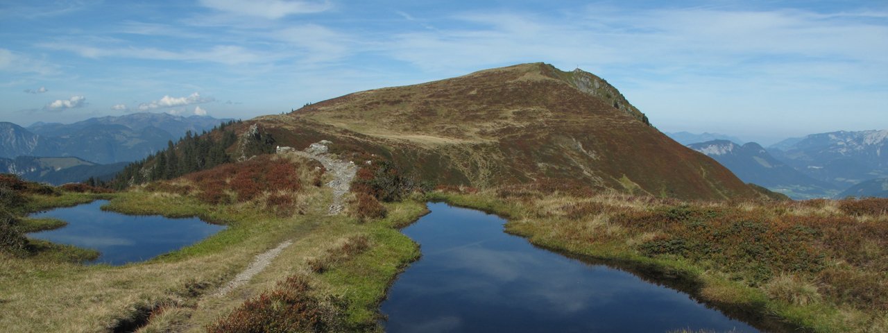
Walkers who take the cable car from Niederau to the Markbachjoch ridge (1,496 metres) can save themselves several hundred vertical metres of ascent on foot. The hike itself is of intermediate difficulty and measures 13.5 kilometres in length. The route leads south via the Holzalm hut, past moorland lakes and pastures full of pink alpine roses, up over a ridge and all the way to the top of the Feldalphorn mountain (1,923 metres) and the Schwaigberghorn mountain (1,990 metres) all the way to the Alpengasthof Schönangeralm. Both huts en route are alpine dairies and make their own tangy cheese. Visitors to the Schönangeralm can get an insight into how cheese is produced here in the Alps.

Summit Hike
Starting point
Top of Markbachjoch lift
Hike to
Feldalphorn, Schwaigberghorn
Finishing point
Schönangeralm hut
Mountain chain
Kitzbühel Alps
Length
13.5 km
Total hiking time
5 h 30 min
Features
- Wheelchair-accessible Hiking Route
- Circular hike
Difficulty rating
intermediate (red mountain trails)
Altitude
Elevation uphill 690m
Vertical metres downhill 690m
Fitness level
Technique
Best time of year
* These are approximate values and recommendations. Please take your personal fitness level, technical ability and the current weather conditions into account. Tirol Werbung cannot guarantee that the information provided is correct and accepts no liability.
Public transport
- Accessible using public transport
Bus route 4064, get off at stop Niederau Berglift
Parking
Bottom of Markbachjochbahn lift
Places serving food and drink
- Markbachjochalm
- Alpengasthof Panorama
- Berggasthof Rübezahlhütte
- Holzalm (late May until late October)
- Schönangeralm (open daily)
Downloads
Trail description
The adventure begins with a ride on the cable car from Niederau up onto the Markbachjoch ridge (1,496 metres). Holders of the Wildschönau Card can use the cable car free of charge. From there, take trail number 2 in a westerly direction. Then, below the Lanerköpfl and Rosskopf mountains, descend gently down through alpine meadows in a southerly direction. Soon you will reach the Holzalm hut (1,438 metres), the only place on the route serving food and drink. Don't miss out on the chance to try the hut's homemade cheese. The route continues uphill via Horlerstiegl and Maierhofer Joch onto the ridge. From there, the trail is flat and leads past a number of small moorland lakes and lush pastures full of pink alpine roses. Things then get steeper on the approach to the top of the Feldalphorn (1,923 metres). After enjoying the fine views at the top, take trail 3 to the Schwaigberghorn (1,990 metres) mountain, the highest point on the hike. Again, the views – especially looking south – are fantastic. Trail 4 then leads via the top of the Breiteggern mountain, the Neubergalm and the Breiteggalm to the Alpengasthof Schönangeralm. This hut offers not only excellent food but also gives visitors the chance to learn about how cheese is made.
From the Alpengasthof Schönangeralm, take the "Erlebnis-Bummelbahn" shuttle service (operates daily from late May until early October) back to Niederau. Click here for the shuttle timetable.


