Hiking
Culinary Hikes in Tirol
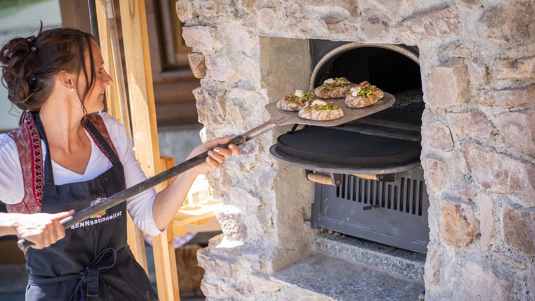
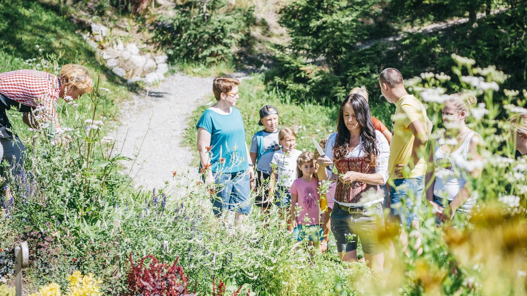
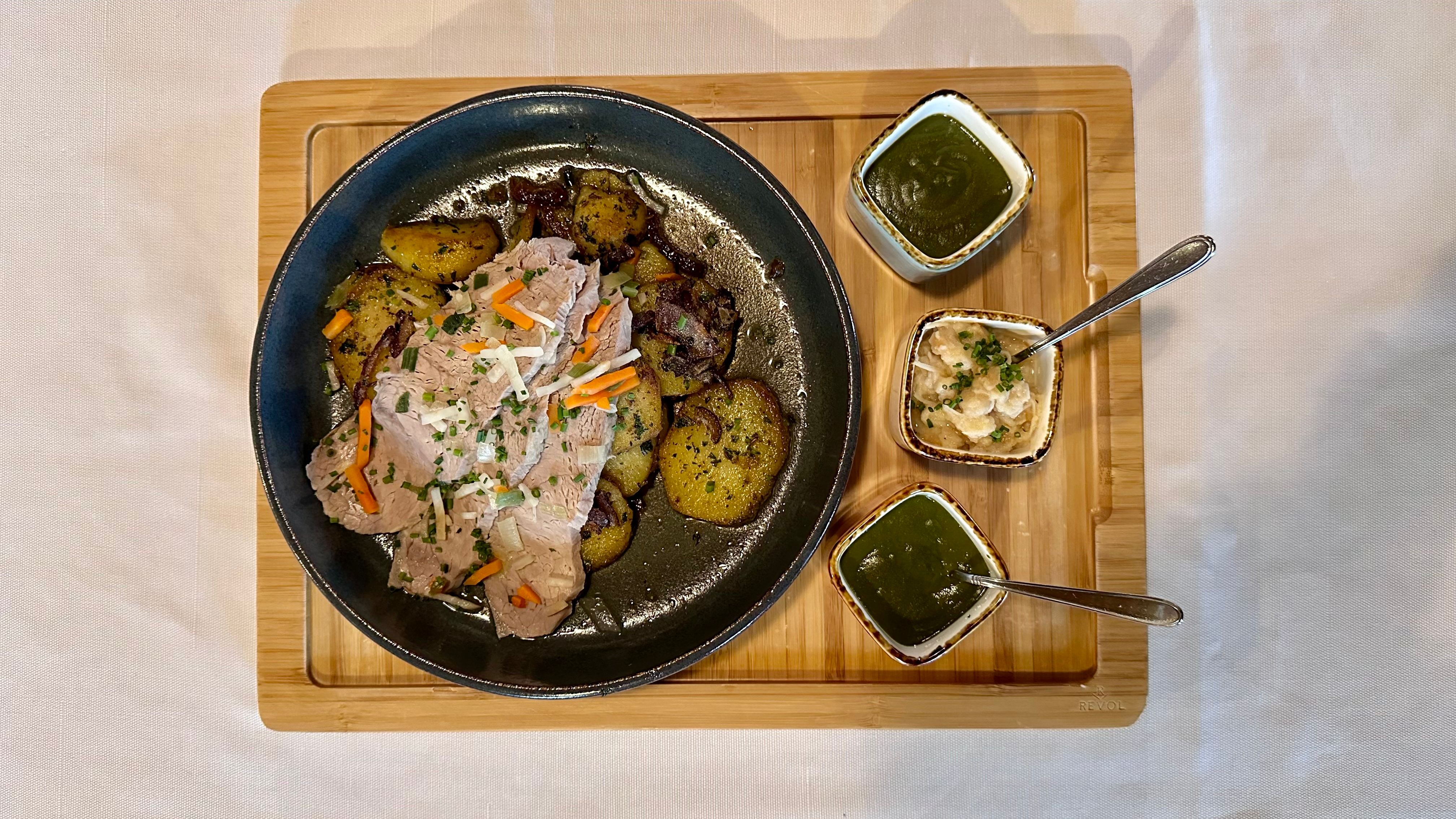
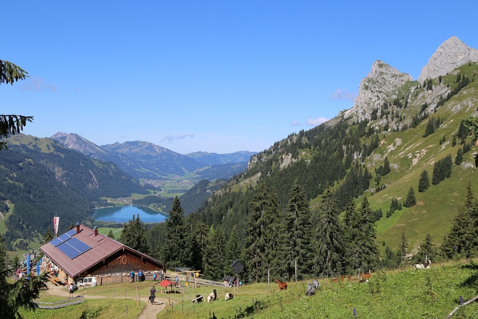
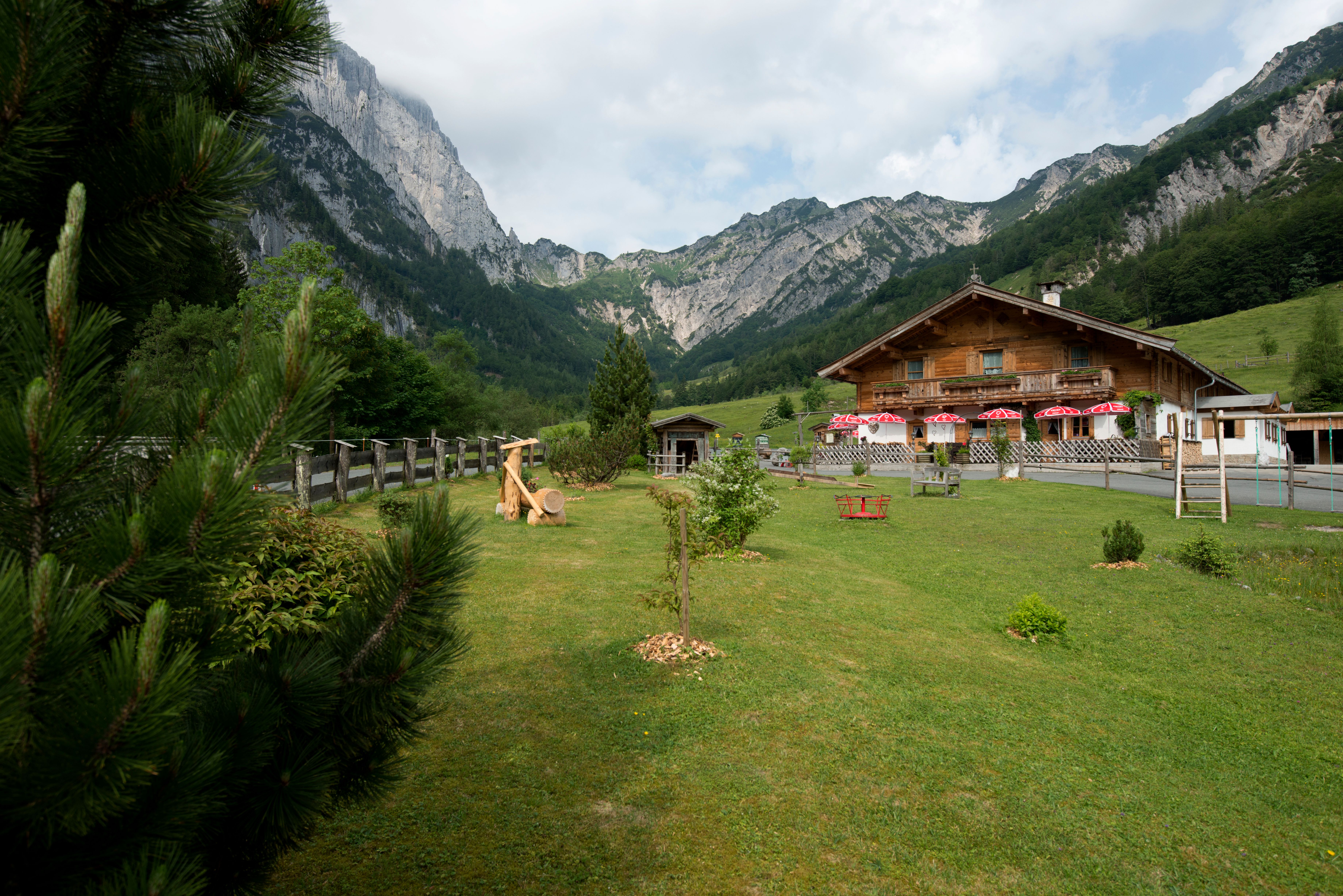
Food never tastes quite as good as it does after a long day hiking in the mountains. When you finally get to the hut and settle down to a hearty meal, there is nothing quite like a big Wiener Schnitzel or some spinach dumplings to fill you up and recharge your batteries ready for the next day. Here is our list of the best walks and hikes in the mountains with a culinary highlights en route.


.jpg")


 Sportalpen (21).jpg")