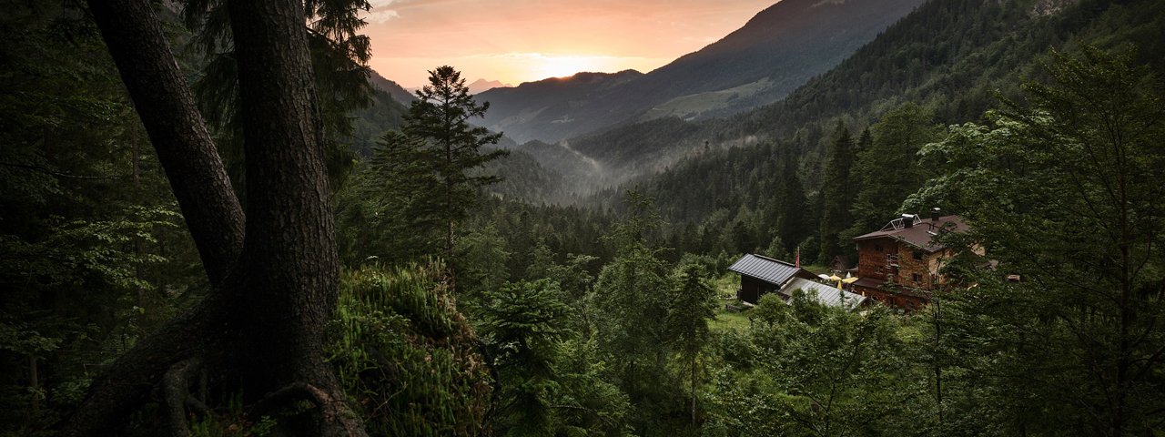
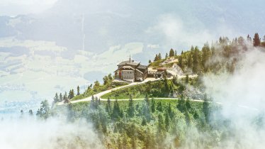
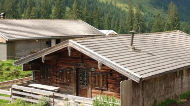
This gorgeous two-day hike across the Kaiser Mountains Nature Reserve has a charm all of its own: big views, a wonderful mountain shelter, alpine lakes for swimming, and well-maintained trail winding through meadows and lush deciduous trees. From the Stripsenjochhaus lodge, a popular shelter perched high among the jagged and craggy peaks of the Kaiser Mountains, hikers can enjoy expansive views west to the Guffert and Pendling peaks, beyond to the Bavarian foothills of the Alps, and east over the Loferer and Leogang Rocky Mountains. Day two takes hikers to the simple buildings at Hochalm, which have been preserved in their original state. This hike is filled with diverse delights, from lofty rock faces and wide open alpine pastures to meadows brimming with wildflowers. It ends at the Walchsee lake, the perfect place to cool off on a hot summer day!

Starting point
Kaisertal Valley car park, Ebbs-Eichelwang
Hike to
Stripsenjochhaus
Finishing point
Walchsee (668m)
Mountain chain
Kaiser Mountains
Length
28.8 km
Duration
2 day(s)
Features
- Wheelchair-accessible Hiking Route
- Circular hike
Difficulty rating
intermediate (red mountain trails)
Altitude
Elevation uphill 1,850m
Vertical metres downhill 1,680m
Fitness level
Technique
Best time of year
* These are approximate values and recommendations. Please take your personal fitness level, technical ability and the current weather conditions into account. Tirol Werbung cannot guarantee that the information provided is correct and accepts no liability.
Parking
Kaisertal Valley car park
Places serving food & drink
- Day 1: Stripsenjochhaus (May until October), Hans-Berger-Haus (May until October), Anton-Karg-Haus (May until October), Gasthof Veitenhof (open all year Wednesday to Sunday), Pfandlhof (open all year, closed Thursday)
- Day 2: Schwarzenbachalm (May until October), Lippenalm (early May until November; late December until early April), Seestüberl (closed Tuesday)
Downloads
Trail description
Day 1: Kufstein – Anton-Karg-Haus – Stripsenjochhaus
Uphill/downhill: 1,250/180 vertical metres, walking time: 6 hours, distance: 11.8 kilometres, highest point: 1,580 metres, difficulty rating: intermediate (red)
From the town centre of Kufstein, walk to the start of the "Kaiseraufstieg" ("Kaiser Ascent") in Eichelwang, a hamlet of Ebbs (north of the base terminal of the Wilder Kaiser chairlift in Kufstein-Sparchen). A broad footpath begins opposite the parking area and briskly climbs the forest on steps in switchbacks (climbing a vertical distance of about 100 metres; follow signs for "Stripsenjoch" and "Stripsenjochhaus"). Beyond the steps, turn onto a footpath/dirt road that is paved for a very short distance and begins with a climb, then levels off and traverses relatively flat terrain, with some minor ups and downs on the northern side of the valley (north of the valley floor). At a fork, which is not marked by a trail sign, the trail bears left and resumes its climb, passing some inns and crossing groves and open terrain. Behind the Pfandlhof inn, turn right towards “Stripsenjochhaus” at the fork (to the left the alternative route to Antonius Chapel begins, as described below). After a level stretch through open terrain (meadows) and groves, the trail crosses two tunnels and loses some altitude for a very short distance. Soon, the route resumes its climb, runs parallel to a brook and passes Anton-Karg-Haus. From there, a footpath that is well marked by trail signs, runs to Hans-Berger-Haus (an alternative route follows a dirt road). The footpath winds through forest in the first and begins a long and steady, strenuous climb in switchbacks and along steps and through woods at Hans-Berger-Haus. On the last portion of the walk, the trail ascends more gradually through wide open alpine terrain until you reach the Stripsenjochhaus lodge.
Day 2: Stripsenjochhaus – Walchsee
Uphill/downhill: 600/1,500 vertical metres, walking time: 7 hours, distance: 17 kilometres, highest point: 1,600 metres, difficulty rating: intermediate (red)
At the small cable car used to transport food and material up to the lodge, follow signage for "Walchsee" on a trail that traverses meadows and dwarf pines above the Kaisertal Valley to the northwest. The route descends a little before it begins to climb and nears a rock outcrop; beyond it the trail gently winds down through meadows to Feldalmsattel col. From there, climb towards "Hochalm, Walchsee" and traverse a tussock slope. Soon you’ll reach alpine pastures, from where the trail meanders down to the buildings of Hochalm, which is located at the crest of a ditch that is open to the left and to the right. Traverse the ditch and follow signs for "Hageralm, Walchsee" on a trail that begins to climb a mountainside, soon levels off and runs northeastwards on a relatively flat path. In this portion of the walk, the trail runs below the Rosskaiser peak (part of the Zahmer Kaiser Mountains) through flower-filled meadows, groves and dense stands of dwarf pines. At the next alpine pasture hut, follow signs for “Heuberg” and “Hageralm” on a trail that soon resumes its climb and traverses mountainsides, steep and exposed scree and talus slopes and thick stands of dwarf pines. Some distance beyond, the trail descends a little through mixed forest and reaches the rim of the small basin where Hageralm hut is located. Walk towards "Heuberg" and cross the basin above the alpine pasture hut. Bear upwards at the next fork, where the trail climbs rather steeply over a tussock slope to reach the Heuberg mountain (marked by trail signs). From the summit, retrace your steps and follow the sign-posted trail back to the basin where Hageralm lies. A dirt road gently meanders down in switchbacks through alpine pastures and through groves here and there. You can short-cut the route along a footpath, but don't miss the point, some 1000 metres above sea level, from where the sign-posted forest road to Lippenalm branches off to the right. Follow this road for a short distance and then turn onto a footpath that begins to climb to the Lippenalm hut (follow trail number 52). From Lippenalm, a forest road meanders down to the parking area; continue northwards on the paved road. Then, bear left at the fork and skirt the western shore of the Walchsee lake to get to the main road in the north. Eventually, turn right and walk to the lovely village centre of Walchsee, where the parish church is located.
Return from Walchsee to Kufstein by bus (route 4030). See timetable for details.
Tip! Around 25 metres in depth and almost 100 hectares in size, the Walchsee lake is a pleasantly warm 20 to 24°C in summer. It was first mentioned in a document dating from 1073.


