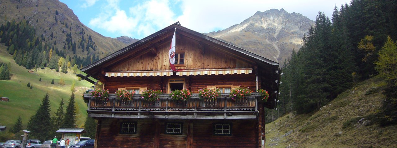
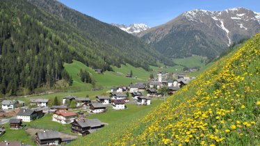
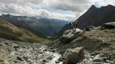
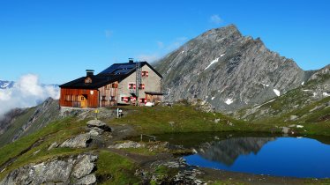
This hike leads along old smugglers' trails from the Unterstalleralm in East Tirol into an unspoilt mountain landscape at the Vordere Gsieser Lenke, a saddle over which the Austrian-Italian border runs. A break at the beautiful Schwarzsee lake and an alpine trail through the romantic Pfoital valley are included. The destination is the small border town of St. Magdalena/Gsies in South Tirol. The return journey is by hiking bus or, after an overnight stay, on foot along the same route.

Mountain Hike
Starting point
Unterstalleralm, Villgratental
Hike to
Vordere Gsieser Lenke, end of Gsieser Tal Valley
Finishing point
Hut at end of Gsieser Tal Valley (South Tirol)
Mountain chain
Villgraten Mountains
Length
9.3 km
Total hiking time
6h
Features
- Wheelchair-accessible Hiking Route
- Circular hike
Difficulty rating
intermediate (red mountain trails)
Altitude
Elevation uphill 854m
Vertical metres downhill 1,080m
Fitness level
Technique
Best time of year
* These are approximate values and recommendations. Please take your personal fitness level, technical ability and the current weather conditions into account. Tirol Werbung cannot guarantee that the information provided is correct and accepts no liability.
Public transport
- Accessible using public transport
Bus route 966, get off at stop Innervillgraten Dorf
Parking
Unterstalleralm
Places serving food & drink
- Unterstalleralm (mid-May until mid-October)
- Talschlusshütte (open daily except Mondays)
- Hotel Magdalenahof
Downloads
Trail description
This six-hour hike from the Unterstalleralm in Innervillgraten leads over the Italian border to South Tirol. It is therefore a good idea to think before setting off about how you want to return and where to spend the night. The hike finishes at the Talschlusshütte hut near St. Magdalena in Gsies (South Tirol). One way back is the bus which runs every Wednesday and Friday from St. Magdalena back to the Villgratental Valley from the beginning of July to mid-September. Please note: You need to register at one of the tourist information centres (TVB-Ortsinfo Innervillgraten +43(050)212 340; TVB Hochpustertal/Sillian +43(050)212 300; Tourismusverein Gsieser Tal +39 0474/978436) if you wish to use this shuttle bus service.
Alternatively, after an overnight stay, you can hike the same route or another route - for example via the Riepenspitze - back to the Unterstalleralm.
The first stage leads from the Unterstalleralm in Innervillgraten (1,664 metres) on the steep trail no. 15 via the Restlangarten along the trail markings up to the Schwarzsee lake, which is well worth seeing. On a rocky ridge to the right past the lake to the signpost for Riepenspitze. However, do not turn left here towards the south, but continue for approx. 20 to 30 minutes to the right of the stream in a westerly direction to the Vordere Gsieser Lenke (2,542 metres). This is the highest point of this tour and you can prepare your legs for the descent, which leads along the west side of the Vordere Gsieser Lenke via a wooden planked path. Continue on trail no. 13 through the Pfoi valley amidst fields of alpine roses towards the end of the valley. Trail no. 13 leads into Alpine trail no. 12, which you follow further downhill past an old stone pen to the Pfoialm (2,069 metres) with its old weather cross. Since the Lenke, you have covered a little over an hour's walking time. Now continue down via Almsteig trail no. 12 or "Almweg 2000". Ignore the paths that branch off to the right, as they are used to transport hay from the surrounding mountain pastures. Where the "Almweg 2000" branches off to the Kaseralm, keep right and walk along the Pfoibach stream to the fenced-in mountain meadow "Garschtl" (1,830 metres). A little later, turn left off the wide path onto a track, walk through the forest and cross the Pfoibach stream twice. To the left of the stream, continue south-westwards down the valley until you reach a small bridge over the Wolkasstolbach stream. Cross this and the path leads to the alpine access road that leads to the Talschlusshütte hut (1,465 metres) in St. Magdalena in the Gsieser Tal valley. Here you have earned a stop for a tasty meal.


