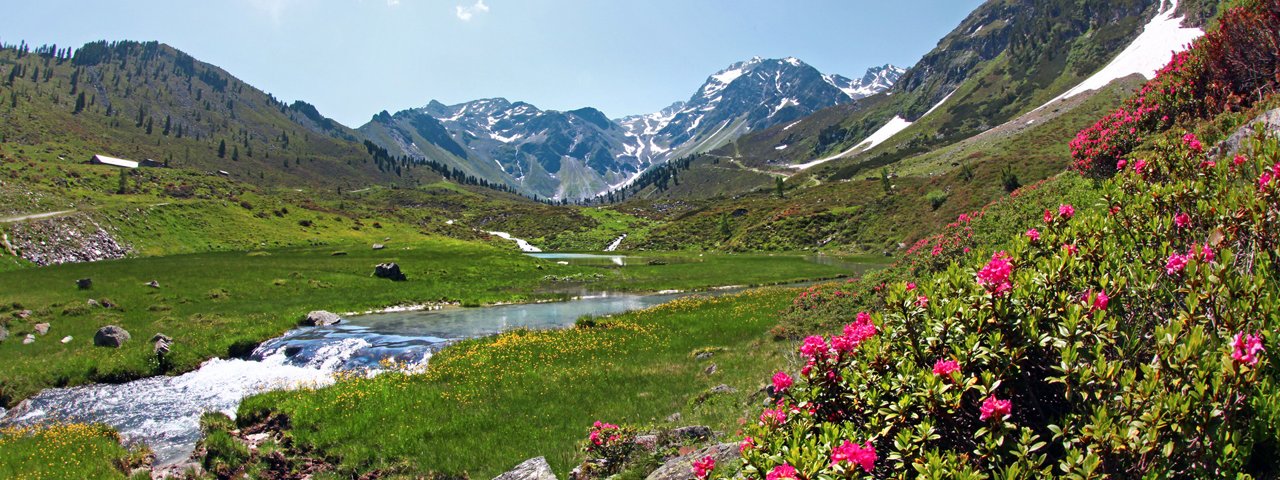
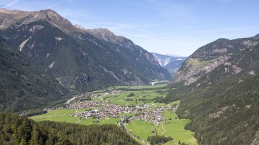
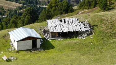
Starting from Umhausen in the Ötztal Valley, this bike & hike adventure leads up to the top of the Wenderkogel (2,220 metres) with its fine views. The bike section heads from Umhausen to Köfels, where the hike begins. The return leg makes a small deviation to the Hintere Fundusalm hut serving food & drink. Hikers must be sure-footed for the final approach to the top of the mountain.

Bike & Hike Adventure
Starting point
Umhausen
Hike to
Wenderkogel (2,220 metres)
Finishing point
Umhausen
Mountain chain
Ötztal Alps
Length
21 km
Features
- Wheelchair-accessible Hiking Route
- Circular hike
Difficulty rating
intermediate (red mountain trails)
Altitude
Elevation uphill 1,385m
Vertical metres downhill 1,385m
Best time of year
* These are approximate values and recommendations. Please take your personal fitness level, technical ability and the current weather conditions into account. Tirol Werbung cannot guarantee that the information provided is correct and accepts no liability.
Public transport
- Accessible using public transport
Parking
Mure car park (near Roßlachgasse, Umhausen)
Places serving food & drink
- Alpengasthof Köfels (early June until October)
- Jausenstation Edelweiß, Köfels (open all year)
- Hintere Fundusalm (mid-June until mid-September)
- Various locations in Umhausen
E-bike recharging stations
- Sport Grüner (Dorf 40, Umhausen)
- Maex Point Radservice (Dreschgasse 6, Umhausen)
Downloads
Trail description
Bike (intermediate)
Riding time: 1 h 40 min
Distance: 12.2 km
Vertical ascent: 465 vertical metres
Hike (intermediate)
Hiking time: 6 h
Distance: 8.8 km
Vertical ascent: 920 vertical metres
The first part of this adventure is completed by bike. It starts at the Mure car park in Umhausen. Cross the stream, turn right onto the main road through the village ("Dorfstraße") and after 250 metres turn left onto the Neudorf road (follow the signs for "Fundustal"), which then crosses under the main road. A little further on, turn right onto the Antoniusweg road and after 150 metres take the forest road to the Ötztaler Ache river. Take the bridge across the river and follow the signs for MTB route 695 towards Köfels. The trail is generally flat as it heads south along the banks of the river. At the next bridge, turn right onto the road to Köfels. From here there are two long switchbacks (380 vertical metres) which are not too steep up to Köfels. Leave your bike at the Gasthof Edelweiss.
Pull on your hiking boots and walk past the church, leaving the village in a northerly direction. A steep trail leads into the forest to the left and, a little further up, meets a wider forest path. Follow this path uphill and, after the third corner, take the signposted trail right into the forest. From here on the terrain becomes steeper. After a while the forest clears and the summit of the Wenderkogel (2,220 metres) gets closer. Just below the summit there is a little bit of scrambling required to get to the top and enjoy the fabulous view. Descend in a southerly direction along the ridge. The exposed trail and large rocks mean that hikers must be sure-footed. At the Schartle (2,048 metres) either head east towards Köfels or – our recommendation – take a small deviation to the Hintere Fundusalm hut in the Fundustal Valley. It does not take long to reach this pretty mountain hut (120 vertical metres downhill).
After stopping at the hut for a drink and a snack, descend via the Schartle to Köfels. The path is very steep at the start and leads down through the forest in a series of switchbacks. Have a rest in Köfels or head straight down by bike to Umhausen (along the same way you came).


