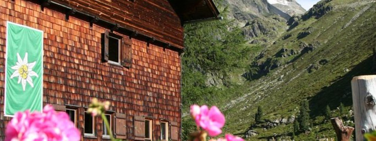
The Lienzer Hütte (1,977 metres) in the Schober Mountains is an excellent base for exploring some of East Tirol's most spectacular 3,000-metre-high peaks.
Large mountain refuge at the end of the Debanttal Valley
Austrian Alpine Club, Lienz Division
The approach to the Lienzer Hütte is a learning experience in itself: the path is a learning trail teaching adults and children alike about the nature here at the end of the Debanttal Valley with its flower-filled meadows and thundering stream. The walk begins at a large car park and takes around one hour. The hut itself lies at the foot of several 3,000m mountains and sleeps around 100 guests. The food is healthy and hearty. The hut is open from early June until early October.
How to get to the Lienzer Hütte
From Seichenbrunn car park in 1 hour, from Zettersfeld (via Lienzer Höhenweg) in 4 hours
Walks and hikes in the area (walking time to summit)
Keeskopf (3,081 metres), 4 hours, difficult
Glödis (3,206 metres), 4 hours, difficult
Hochschober (3,240 metres), 4 hours, difficult
Alkuser Rotspitze (3,053 metres), 5 hours, difficult
Debantgrat (3,055 metres), 4 hours, difficult
Further huts in the area, long-distance hiking trails
Elberfelder Hütte, 3,5 hours
Adolf-Nossberger-Hütte, 3 hours
Hochschoberhütte, 3 hours
Wangenitzseehütte, 3 hours
The Lienzer Hütte is on the Schober Route and the Austria Skyline Trail Osttirol 360 Grad (Stage 30/31).
Large mountain refuge at the end of the Debanttal Valley Austrian Alpine Club, Lienz Division The approach to the Lienzer Hütte is a learning…


