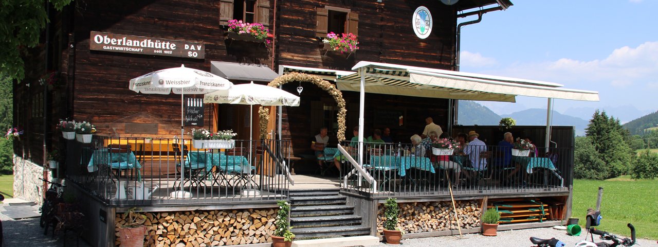
The Oberlandhütte (1,014 metres) is a popular mountain refuge with many walking and hiking opportunities in the Spertental Valley and Kitzbühel Alps.
Family-friendly hut in the beautiful Spertental Valley
German Alpine Club, Munich & Oberland Division
On the outskirts of Kirchberg/Aschau, at the end of the lovely Spertental Valley in the Kitzbühel Alps, the landscape impresses with its diverse beauty as the Große Rettenstein mountain dominates the skyline with its rocky peaks. The hut itself is also very decorative: weather-blackened outside, light and friendly on the inside, it epitomises the motto "small is beautiful". Guests can look forward to very comfortably furnished rooms and lounges. The food is also impressive, with predominantly regional cuisine. If you order in advance, you can even enjoy a hearty meal of veal or pork knuckle. The Oberlandhütte is accessible by car and public transport.
Ascent to the Oberlandhütte
The Oberlandhütte is accessible all year round by car via a road from Kirchberg, just behind the sub district of Aschau, or with the scheduled post bus or ski bus from Kirchberg railway station.
Walks and hikes in the area (walking time to summit)
Labalm (1,264 metres), 1.5 hours, easy
Naturerlebnispfad/Herbert-Noichl-Weg (circular hike), 4 hours, easy
Großer Tanzkogel (2,097 metres), 5 hours, intermediate
Schwarzkogel (2,030 metres), 4 hours, intermediate
Großer Rettenstein (2,366 metres), 6 hours, difficult
Further huts in the area
Kobingerhütte, 2 hours
Brechhornhaus, 3 hours
Bochumer Hütte, 7 hours
Wildkogelhaus, 5,5 hours
Wolkensteinhaus, 4,5 hours
Family-friendly hut in the beautiful Spertental Valley German Alpine Club, Munich & Oberland Division On the outskirts of Kirchberg/Aschau, at…


